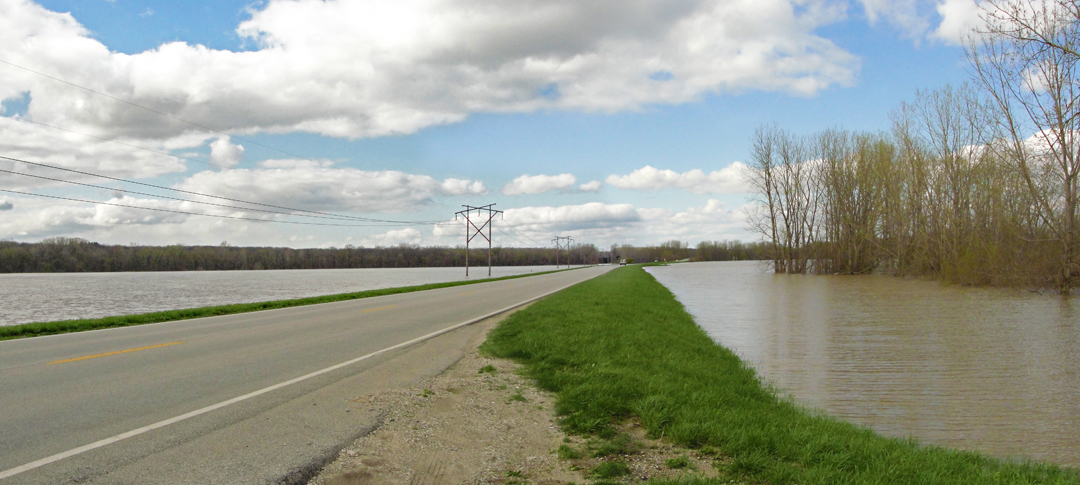
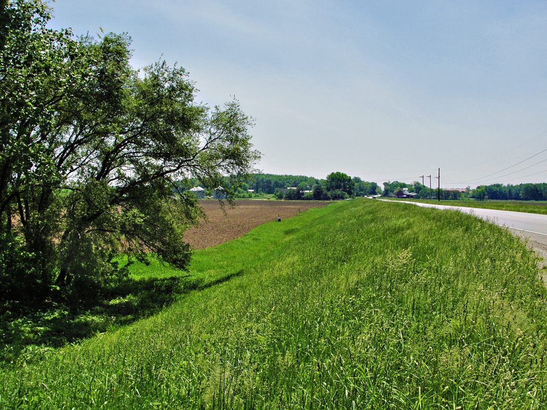
Looking north:
These first views are along North 9th Street, north of Lafayette. It's hard to tell with the grass all lush n'at now, but the berm the road is built on is easily 9 feet high, or maybe more, certainly more as one approaches the tree line in the distance. That tree line, or tree belt really, varies in depth but occupies maybe 60 to 100 feet between the fields and the river's true course. So here, you're looking at maybe 7 or 8 feet of water over the fields.

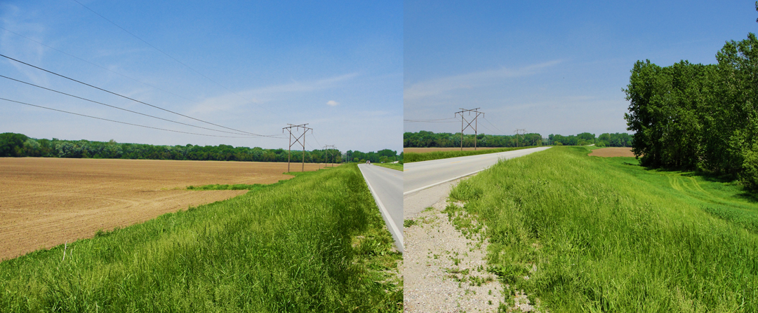
Looking back south, same photographic site:
In these views, the height of the berm is essentially level, as the topography rises toward the ridge in the background, but the grade is not enough to prevent the house and outbuildings (in the middle of the scene) from getting a least a couple feet of water on their first floors.


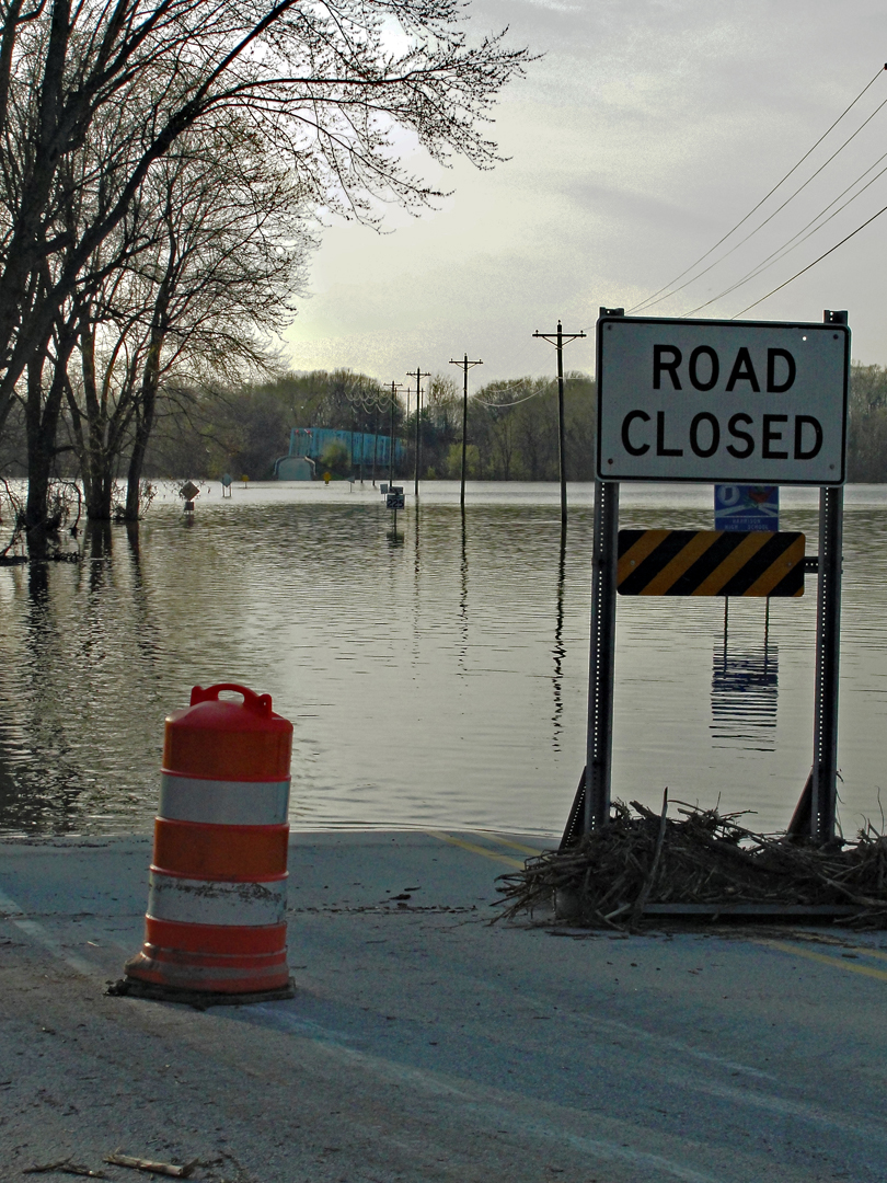
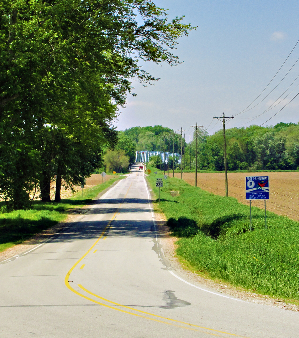
The bridge over the Wabash on Route 225, east of Battleground.
These composite, panoramic views are from the west end of the bridge. The bridge is thrown over the main course of the river here, but you can see in the top image that the water has gone well beyond the line of trees that normally mark its banks.
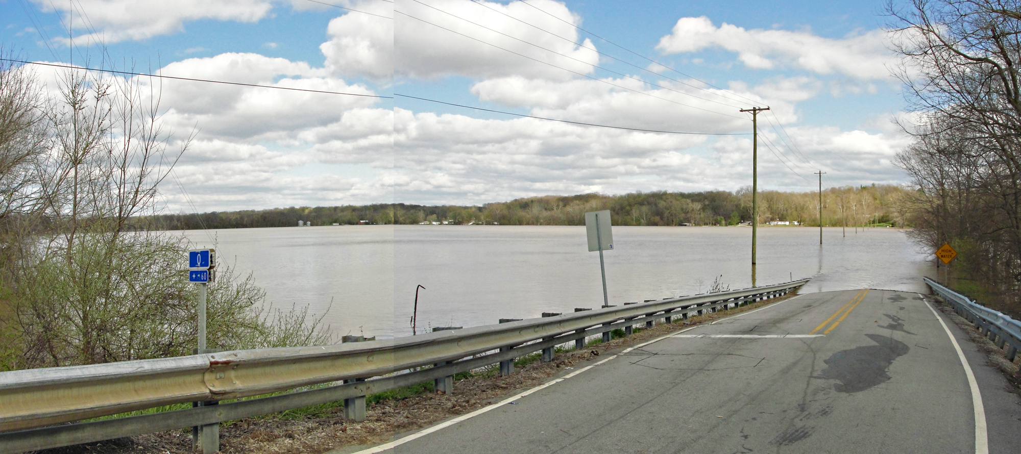
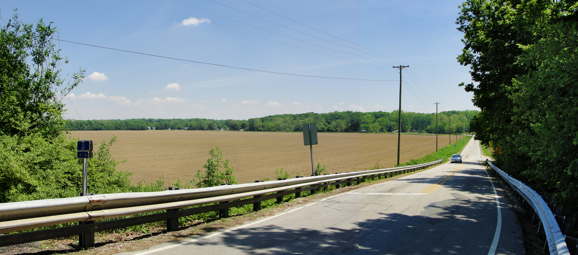
The bridge over the Wabash on Route 225 east of Battleground (composite photos)
These two views are from the east end of the bridge, where the road clearly drops down to farm level from the abutments. The "HIGH WATER" sign is still down in the second photo, but is mostly obscured by the leaves. One corner can be made out to the right of the car.
