
Fall Creek Gorge or
The Potholes of
Warren County
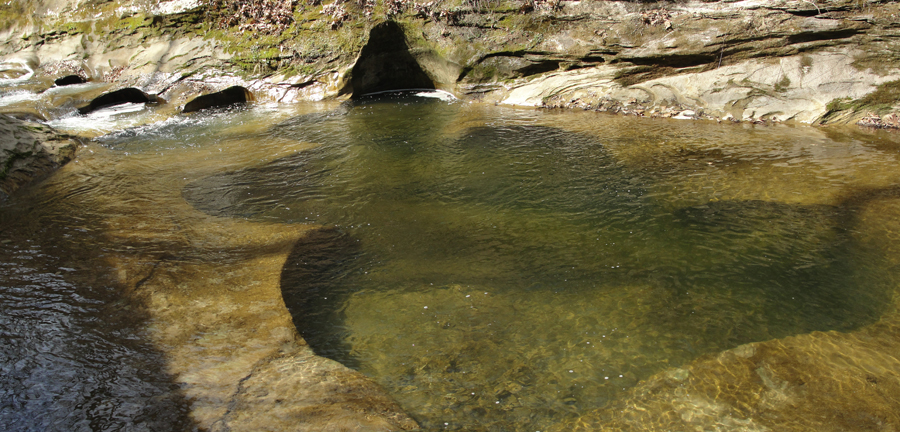
A few miles west and north of Attica, Indiana, there is a geographical feature named Fall Creek Gorge, or the Potholes. A layer of sandstone in the local geology has been cut by fast moving creek water; eddys in the current combined with sediment being carried has hollowed out semi-circular depressions in the stream bed ot the main water course.
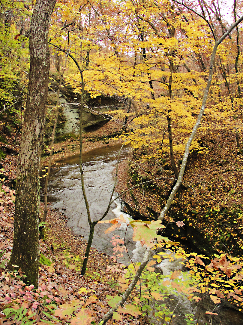
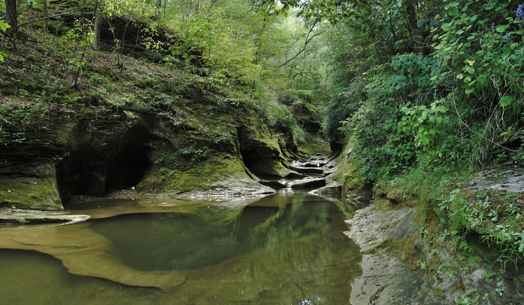
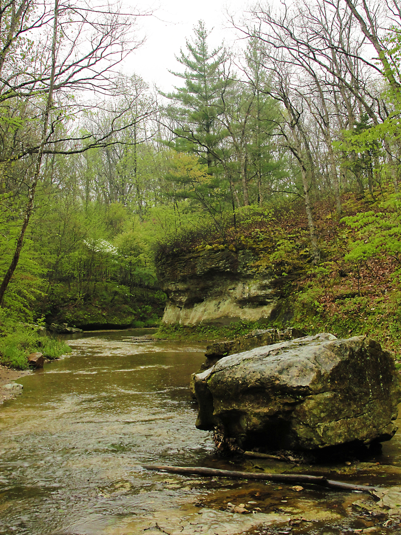
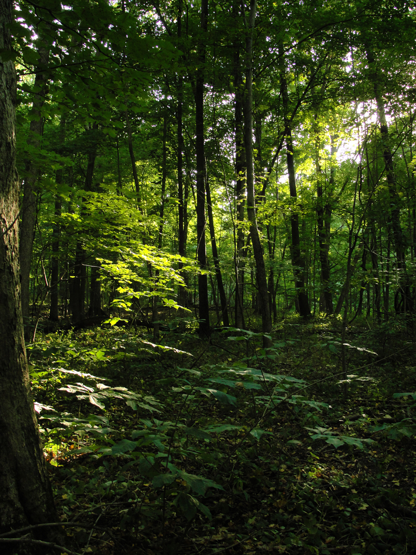
The Nature Conservancy has owned and maintained 186 acres around the gorge since 1986. Footpaths allow visitors views like these.
Obviously, these were taken during different trips at different times of year, but I like that they represent the different colors in the mostly natural world.
These photographs show the narrowest channel of the Gorge, and the largest of the "potholes."
Downstream from these, the sandstone feature is no longer so upraised, and Fall Creek once more assumes the appearance of an ordinary stream.
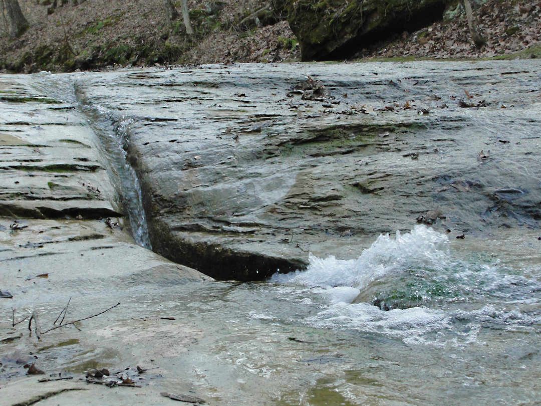
A side stream of Fall Creek; the stone here has been exposed in a broad, nearly flat bed across which the water has cut a siuous channel, ending in a foot-or-so-deep trough. From this small flume, the water splays and joins the creek.
Upstream from the Potholes proper the Gorge makes a couple of nearly 90 degree bends through the sandstone.
This view shows the beginning of what is truly the Gorge, where the creek really is at the bottom of a deeply worn trench.
As noted above, the Nature Conservancy has a fair amount of land around the Gorge, and that wooded area affords the opportunity to see, and photograph, more than just the water features. If you're lucky, you might get to ignore the 21st Century beyond the forest; deep in the trees, it's nearly primeval, and then distantly comes the sound of an air liner flying over, or someone down the road starts their lawnmower.
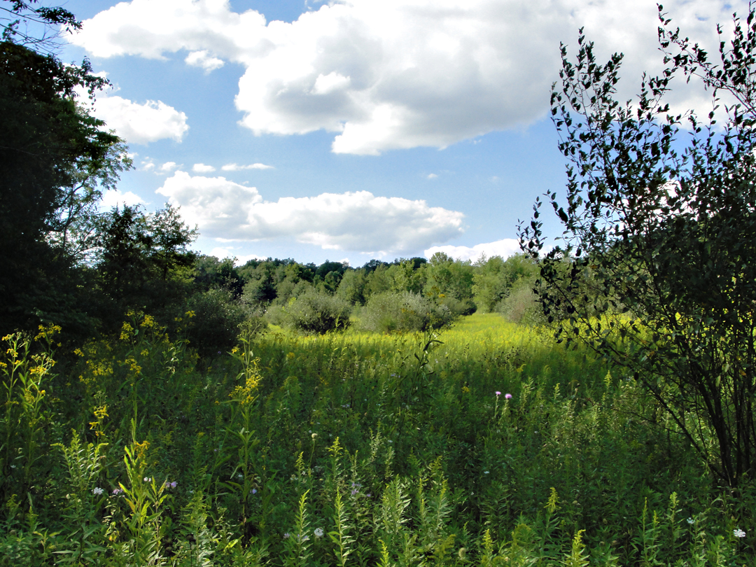
And then! -- on the north-west side of the Gorge, up at the top of the hill there is this delightful view: it reminded me of a mountain meadow.
Climbing up the hill, I was thinking that when I got to the top there would simply be more of the woody landscape I had just hiked through; it was a nice surprise to see this, and I wondered how many people have actually bothered to get up to that part of the the land.
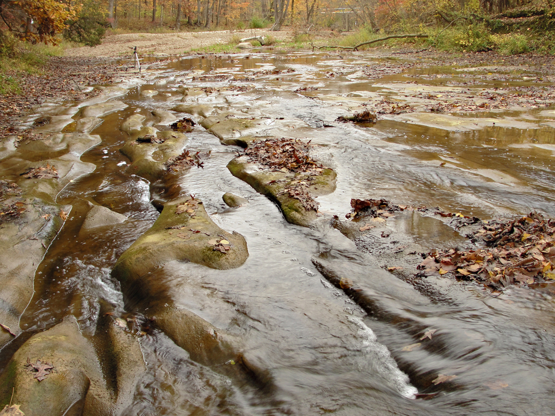
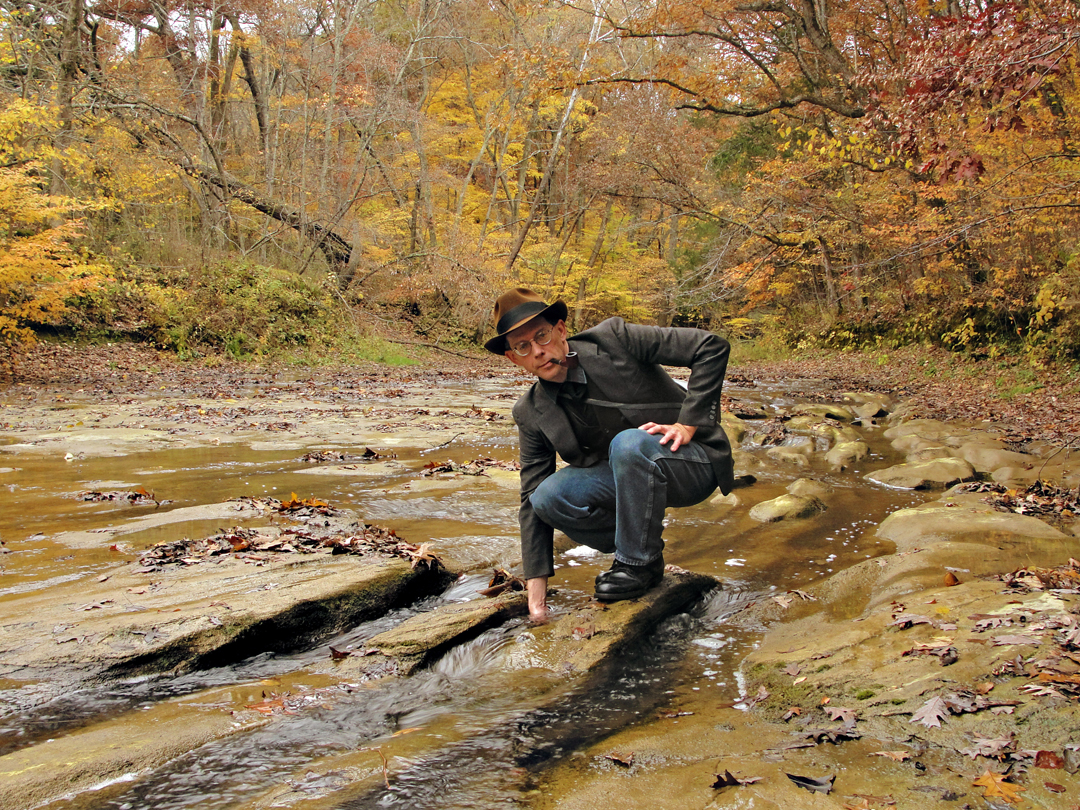
And I suppose you could call this the "Lower Reach" of the Gorge - not much gorge left, but I was pleasantly surprised to see more of the cut sandstone feature farther down the creek from the "potholes." I honestly wasn't expecting to see anything more than the course resuming its "ordinary" appearance, so when I espied this sinuous etch in the stone - and it is stone, not mud - I thought "that's wonderful!"
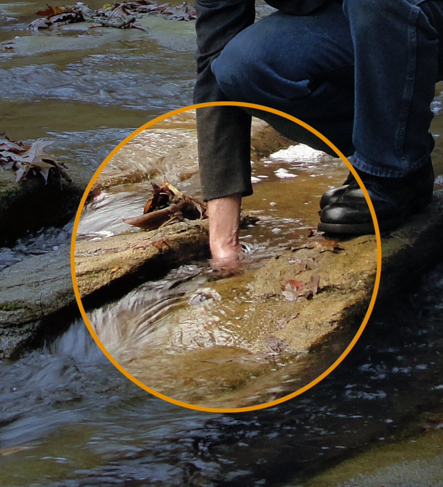
Unfortunately it is one of those visual elements that does not translate very well in photographs (and I tried!) but these images do as well as any. In the one at right, and in the detail below, I've stuck my flat hand down to the bottom of that particular track of water, so it's about 8 inches deep there - and yes, it was cold.
What's really impressive here is that it looks almost unreal, really: the undercutting and waving lines, which are actually at different elevations, are almost too fantastic. I don't know if they would be believable in a play or movie design!