For what-ever reason my reluctance, a few days after I arrived back in Lafayette, I took off to make the drive down to Carmel and then Indianapolis.
Dreiser, in his recounting of the trip, described his knocking around Warsaw, looking in on the rooms where he had slept decades earlier, wondering what had happened to the people and the buildings he had known before he was twenty. For of course, Warsaw was not to be contained in some bubble of time, and had moved on, as had the rest of the world.
To the time spent in Carmel at the Booth family home, he discourses not only on Franklin and the Booth household, but on some of his other favorite topics, like the nature of humanity and its preoccupation with sex and religion.
My own "run" began out of Lafayette through Dayton toward Frankfort, from where I intended to head East to US 31, and then head South to Carmel, and Indianapolis could be gained thereby as well. Of course there was a detour! Somewhere on US 421 there was a bridge under reconstruction, and off I went down some county road.
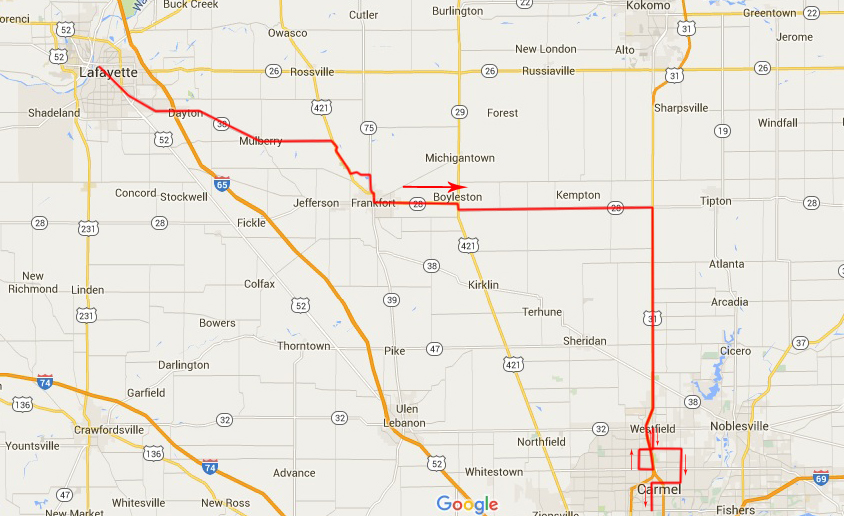
That detour to IN 75 did yield some pleasant views, which I always like, but when I got to the crossroad where I would turn South, I saw this old building (below), and of course I had to stop and take some photos.
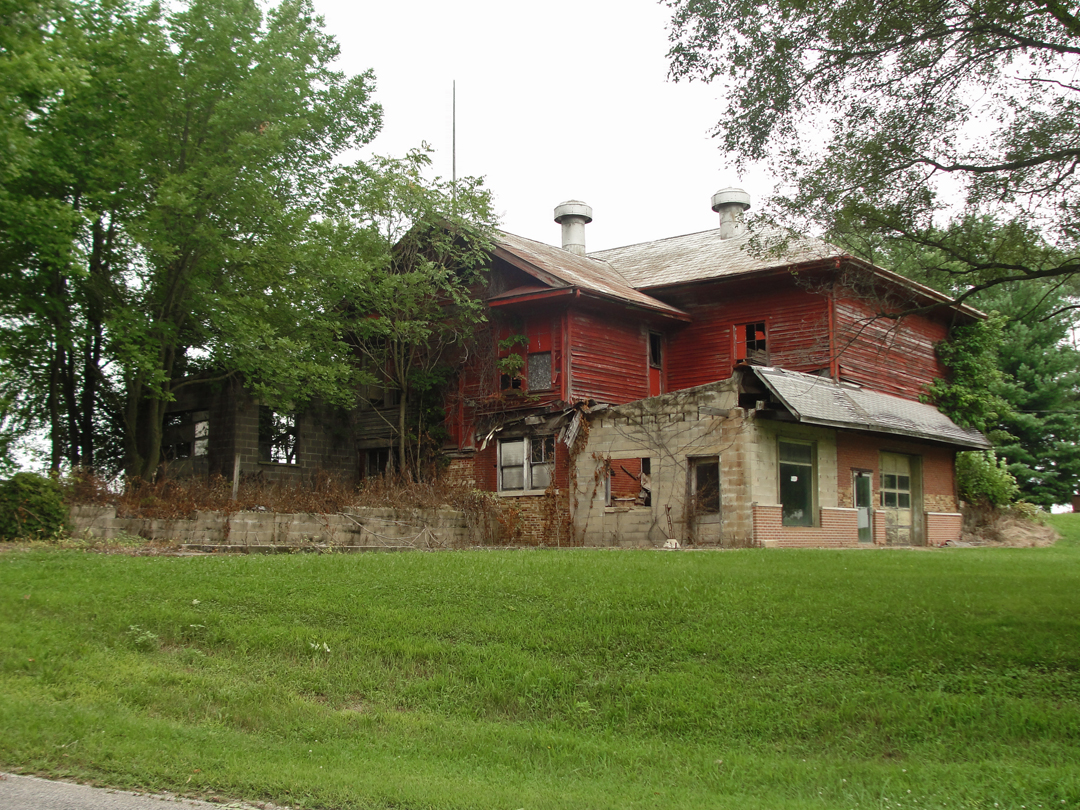
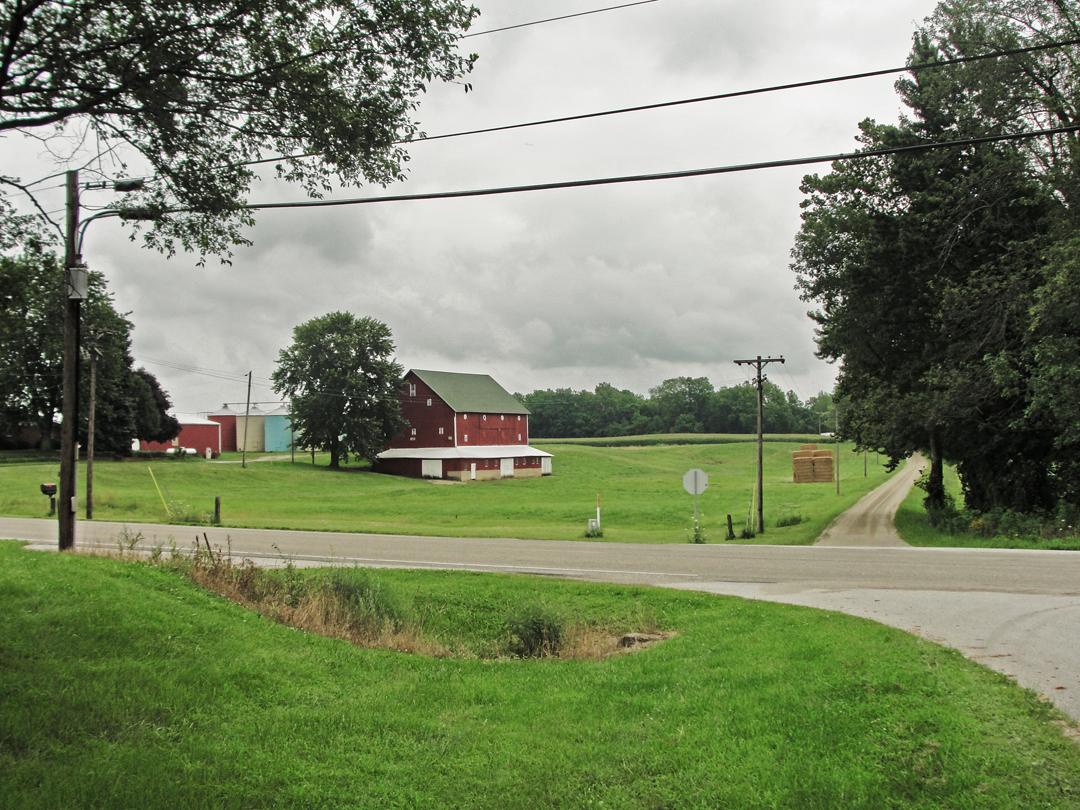
An oddly added on-to structure, to say the least, but it does have "character!" Across the road was this Indiana scene:
From a previous jaunt out this-a-way, I knew that IN 75 would lead easily to Frankfort, so I turned right, and made my way in-to and out-of that town. When I got near the junction of IN 28 and US 31 I noticed a large industrial structure off to the North and East:
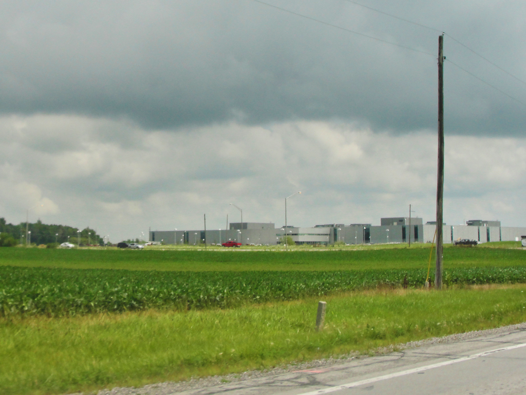
It's a Fiat/Chrysler facility, which, like Subaru in Lafayette, continue what is actually over an hundred years of automobile industry in Indiana.
By bits and pieces I've found that many of the earliest auto manufacturers were in central Indiana, in the years before, and then too during, the rise of the industry in Detroit.
Among them Haynes, Pathfinder, the Auburn Company, which built the Auburn, Cord, and Duesenberg lines (I know! Duesenbergs are from Indiana?!) and others that sprang up to take advantage of the booming interest in the horseless carriage.
At that junction too, was the obvious view of "progress and change." Far from being a slim macadam, what is now US 31 is a much improved four-lane, not unlike the Lincoln/US 30 to the North, and the National Road/US 40 to the South.

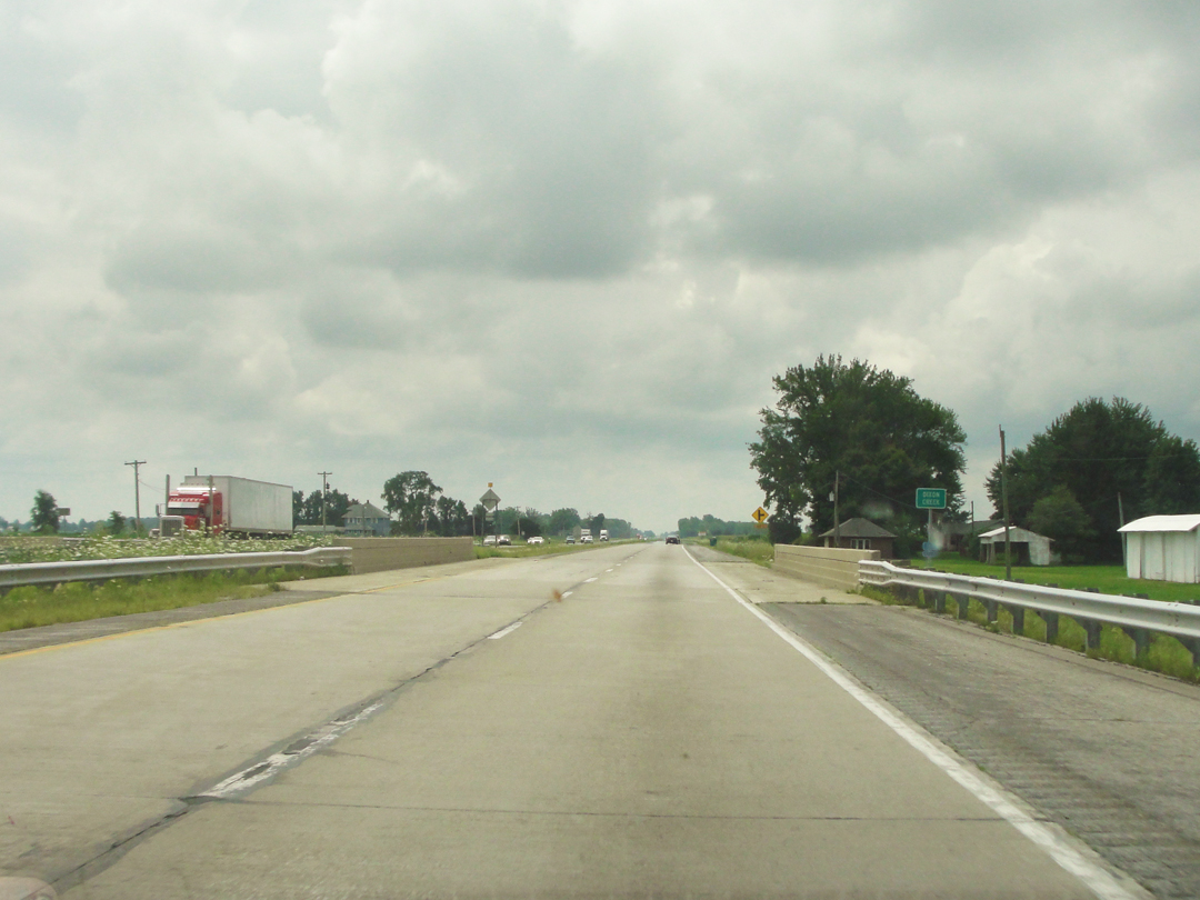
Above, at left, is another of those failed gasoline/service stations that still surprise me; how can a gas station not make it? I guess the economy just passed it by, the Marathon across the way with its attendant "mini mart" out-doing it for business. At right, a view down the highway.
On their way from Warsaw to Carmel, Dreiser & Co passed down this route, or very nearly, having gone first through or by North Manchester, Wabash, and Peru. After Peru, they traveled South to Kokomo, where they stopped at the Haynes Automobile Company, which concern, Dreiser was informed, was "...the first American to put an American automobile in the field." (A Haynes-Apperson was driven on a Kokomo-to-New York City round-trip in 1899, and again in 1901, when the vehicle still resembled the carriage sans horse, with an 8 horsepower engine and a "tiller" for steering.) Following came Westfield, "...where the Quakers lived..." and only a few miles from Carmel.
I chose to pick up US 31 where I did so that I could make a passage myself through Westfield before getting to Carmel. Today's highway, allowing for the by-passes, describes the way of the Pathfinder, so it seemed a reasonable choice. A few miles South of my turning, however, "progress" was more than obvious; indeed, it was blatant.
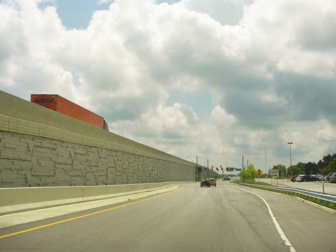
Some ten or twelve miles outside of Indianapolis' city limit, US 31 suddenly mimics the Interstate, becoming a limited-access highway, with road crossings elevated over the local roads (closer in, the locals fly over). It struck me then, as it had on prior occasions, that this construction (still on-going as will be seen later) was not only about speeding traffic along out of the city, but speeding it along so the local residents might not have to have non-residents (like me) knocking about.
There seems to my mind an air of pretentiousness about these places, not just in the semi-elevated roadway, but the clear explosion of newer housing construction through this region. The exit pictured above led me to a stop at a Target, which I patronized for its washrooms and a few purchases that I had need of anyway; the other customers all struck me as being pretty serious about their seriously MIDDLE CLASS status. Not just pretending or preferring to have that level of income as many Americans do, but actually making it in the IRS tax bracket. I disdained of them all immediately.
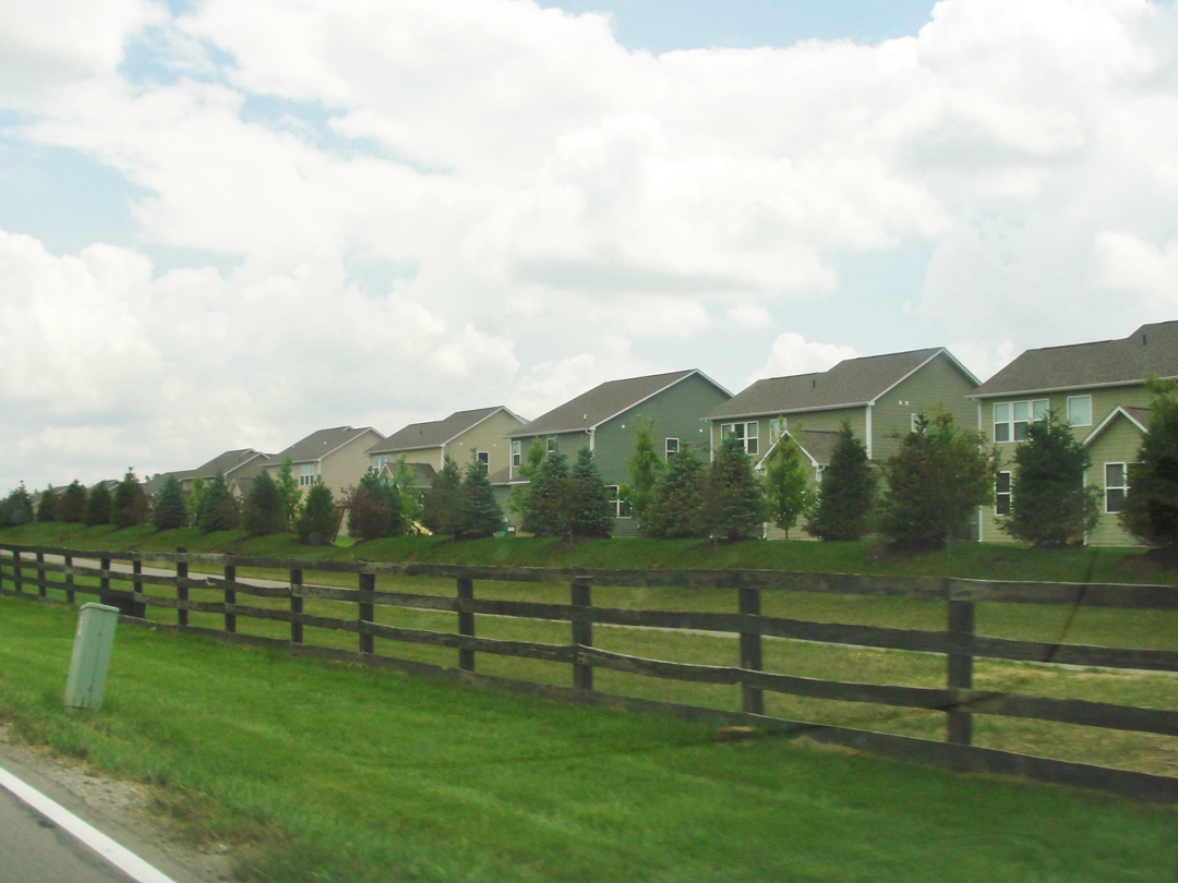
Consulting my map in the car park, I found my location and traced a route which would turn me around and across the highway, and backtrack slightly to reach Westfield. On the way, I drove through some of those housing developments which are so plentiful where the middle-classes have the money to buy. Just for a moment I wanted to term them "housing projects," for so they seem to me. I am well aware of the history of that particular term and the constructs that were erected under that banner, and yet to see the endless lack-of-variety encompassed in the "developments" across this country -- for all their presumed safety and cleanliness, their opposition to the residential blocks and towers of "the Projects" -- I still can't help but think of them as "projects." Take that as you will. They exist even on the edges Lafayette! I suppose that, if Lafayette continues to grow, and if the Indy/Carmel area does, eventually these will be relegated to being yet another ring of historical construct.
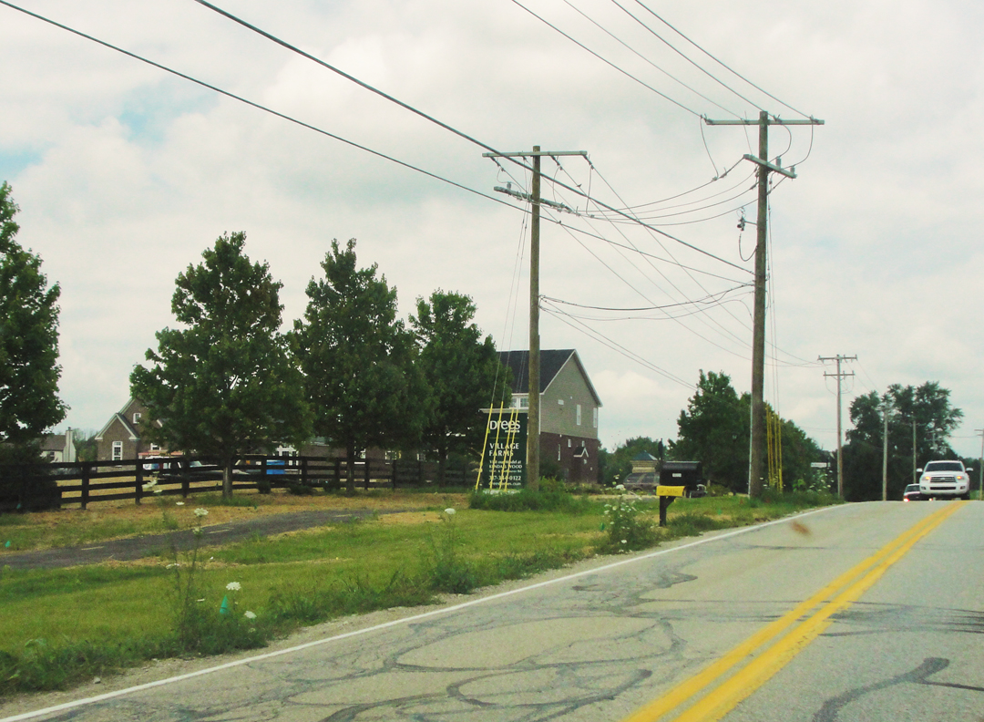
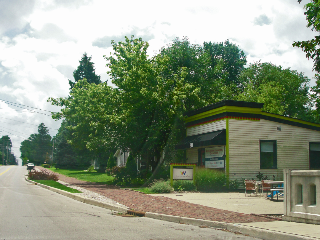
I got into Westfield, and found that it had been somewhat gentrified or updated or what-have-you. If there had been Quakers, I'm not sure they're still about. Thinking on it now, Westfield is probably where the people who can't afford to live closer in to Indianapolis move, an ex-urb out beyond the Northern ex-urbs, with only corn and soy beans beyond.
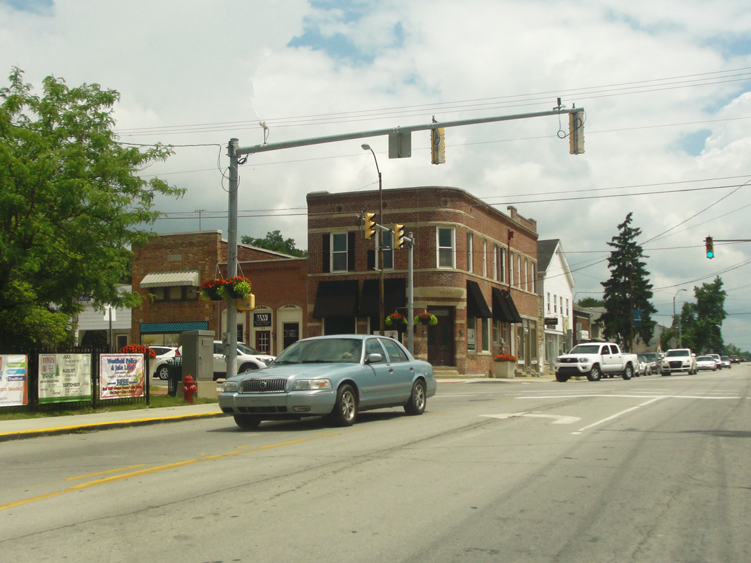

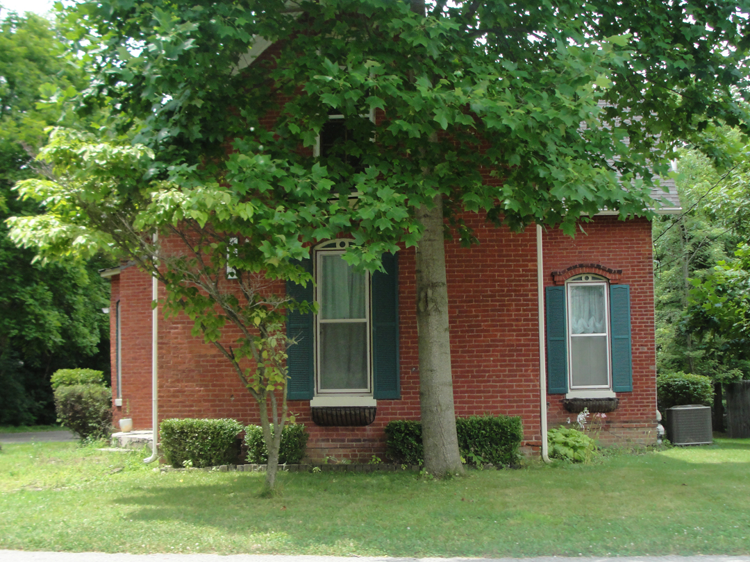
Above left: an old library building, now home to a printing company. At right, the old corner bank. Below, two of the older structures still inhabited.
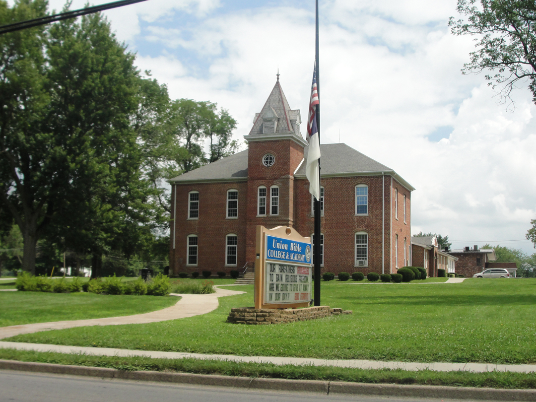
Here, the Union Bible College & Academy, residing at least partly in an older building.
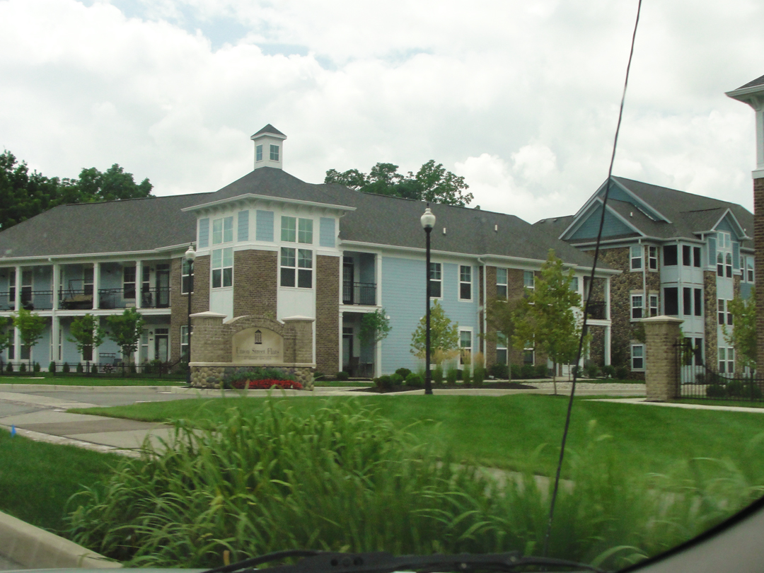
Across the street are the Union Street Flats.
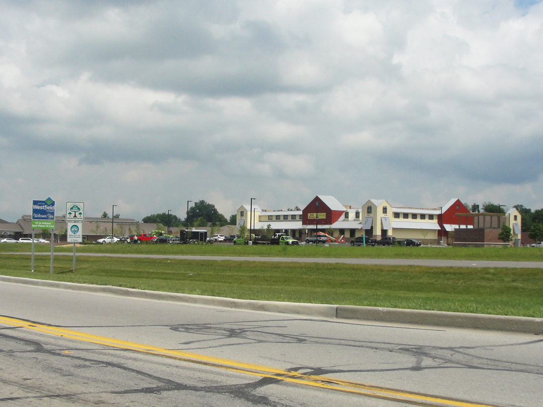
A couple miles South, but still just inside the Westfield city limit is this Fresh Thyme Market, still under construction here.
I, in my lackadaisical fashion, did look to see if there were anything historical available concerning Carmel -- via the "web." There is, of course, a Carmel Clay Historical Society website, which had a map of Carmel as it was circa 1916! Drawn from memory by a John Haines in the 1980s, it has an index to the buildings, and one of those was noted as "Booth residence," sitting in the middle of the block on Range Line Road just two lots up from 3rd Street. Behind it was also noted "Franklin Booth studio." "Well well well!" I said. Unless it was "HAH!" which it might have been. I had, if not an address, at least a location to look for, and a map of all things to reference:
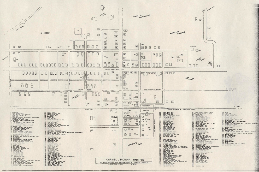
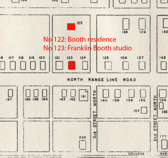
Above, the full map as drawn by Mr. Haines; detail at left (CCHS).
Carmel, as I found -- both on the street and on the map -- was much changed in the last hundred years. So had the approach from Westfield. As has happened with other roads, US 31, now widened and improved, not only buried the way of the old ground-level macadam, but swerved just a bit past Westfield. To gain Carmel I had to jog about to avoid getting on the now-expressway. Which jogging about of course also meant that I passed my turn down Range Line Road. I wondered, as I drew through a roundabout intersection, if the sign announcing Carmel's "Art & Design District" district was where I wanted to turn. It was.
So not for the first time, nor the last, I turned about, and then down North Rangeline into the heart of old Carmel.
"I wish I might accurately portray, in all its simplicity, and placidity, the atmosphere I found here. This house was so still -- and the town. Mrs. Booth, Franklin's mother, seemed so essentially the middle West, even Indiana mother...There was a little boy here, adopted from somewhere because his parents were dead, who seemed inordinately fond of Franklin, as indeed Franklin seemed of him. I had had stories of this boy all the way out...It was amusing to see them together now, the boy...devouring every detail of his older friend's appearance and character -- Franklin amused, fatherly, meditative, trying to make the most and best of all the opportunities of life."
With Mr. Haine's map, I sought out, and found the place where the Booth family had once dwelt. I also recalled the conversation, away back in the Southern Tier, between Dreiser and Booth concerning the lack of trees in Savona, and Carmel. That, what-ever else has changed, has been remedied. Trees are popular now.
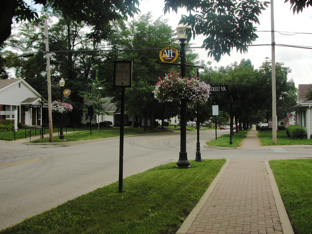
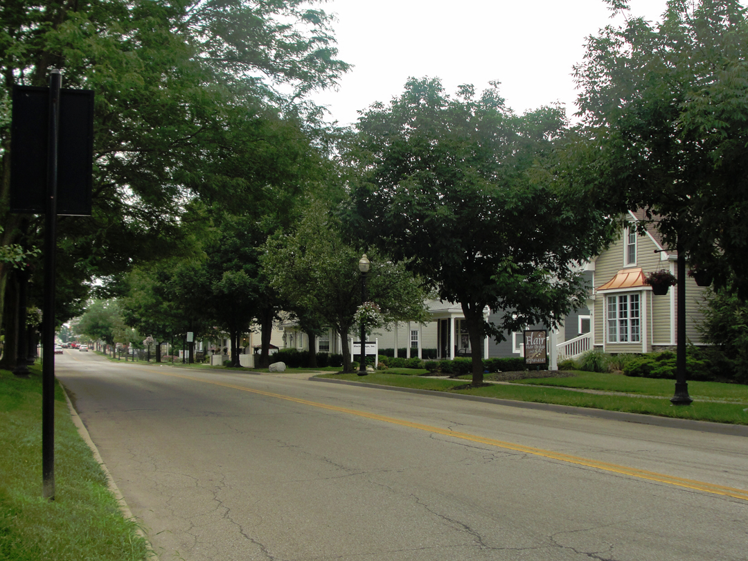
Above left: looking back North on Rangeline, and at right, looking South, across the street from the circa 1870 house that once belonged to the Booth family, pictured below, at 321.
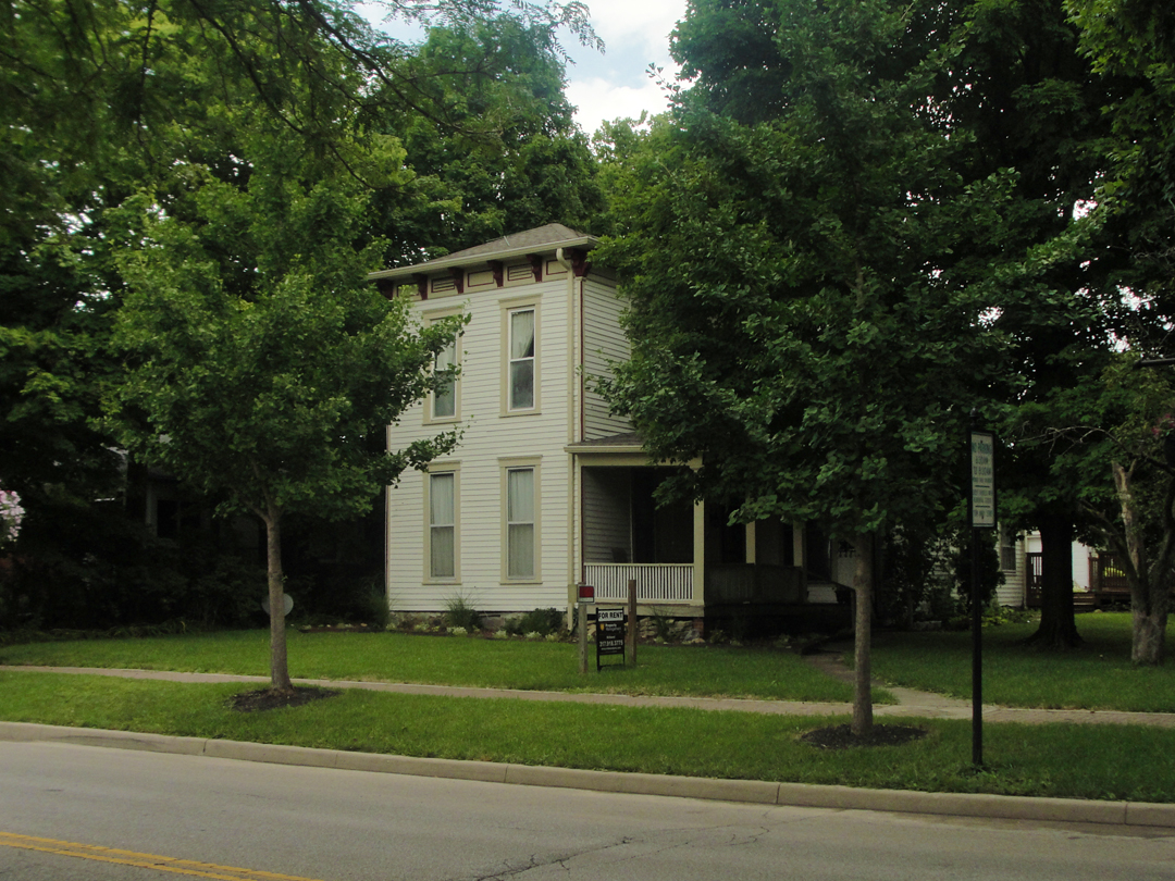
It's "funny" to look at this photograph now and think that I was "right there!" All those miles gone by under my tires, and then coming down to Carmel on the chance that the Booth family house would still stand, and find that it does. Funny or -- well, I can't explain it. Touching? Something --
I had to wonder if this was, in fact, the same house. Looking at the architecture I thought "Well, it could be -- " I wanted to believe it so. To stand on the sidewalk in front of one place that I might be as sure as anything that Dreiser and Booth visited! It was a relief, actually, to find that it is that house. There is still another building behind, just barely visible in the photo, which might be Booth's studio, though I imagine that it's been altered, and probably substantially. Still! Dismaying that the house it is "busted up" for apartments, like the circa 1880 house that shelters my own flat. Once I have the money, I'll buy them both and restore them. Add them to "the list!"
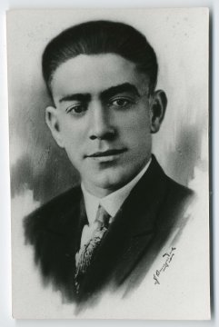
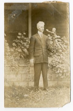
At left, Franklin Booth in Carmel, circa 1910. At right, Bert Lee, who took over chauffeur duties from Speed, as Dreiser and Booth continued their auto tour to the South of Indiana (both: Museum)
"...I also met Bert, the crippled boy, who was to be our chauffeur from this point. He was a youth in whose careet Franklin seemed greatly interested, largely, I think, because other people of the village were inclined to be indifferent to or make sport of him. The boy was very bright and of a decidedly determined and characterful nature...I felt that he had so much courage and hope and optimism...that I quite envied him."
Behind the Booth family home, the houses reflected mid-century modern and newer. No surprise there, I suppose. Franklin grew up working on a farm; most of the land about is now residential, I'm sure sold off piece-meal over the last several decades. What I discovered about Carmel is that it relocated its government entire to a municipal office park well South of what had been the downtown along Main. Main Street is still well occupied, but has been completely done over, literally from the ground up.

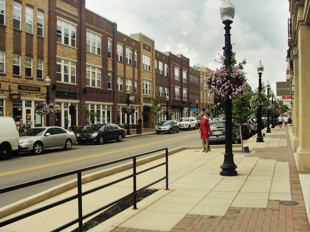
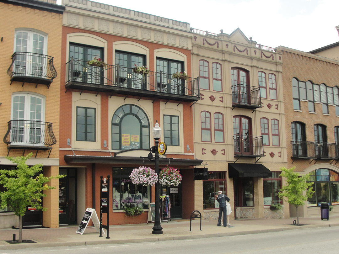
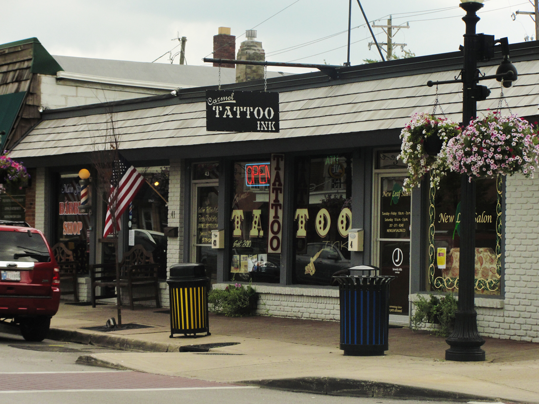
Above and below, seen along Main Street. In the photos above right, and below left, the "people" on the sidewalk here are actually statuary. Similar figures are also in Warsaw. Yes, the "couple" below left are a recreation of the famous Times Square sailor-kissing-the-nurse Life photo of 1945. Below right, the tattoo parlor would have at the very least raised skeptical eyebrows of consternation were someone to have attempted to open such a business by 1915, if the proprietor were not simply run out of town on a rail.
"...we went downtown, Franklin and I, to inspect the village, and to see some of those peculiar natives of whom he had been talking. I think he must have a much better eye for rural and countryside types and their idiosyncrasies than I have, for I failed to gather any of those gay nuances which somehow he had made me feel were there. Little things in rural life which probably attract and hold his attention entirely escape me...My own powers of observation...and my delight in them, are limited to a considerable extent by my sense of drama. Is a thing dramatic?...If not, it is apt to lose interest for me."
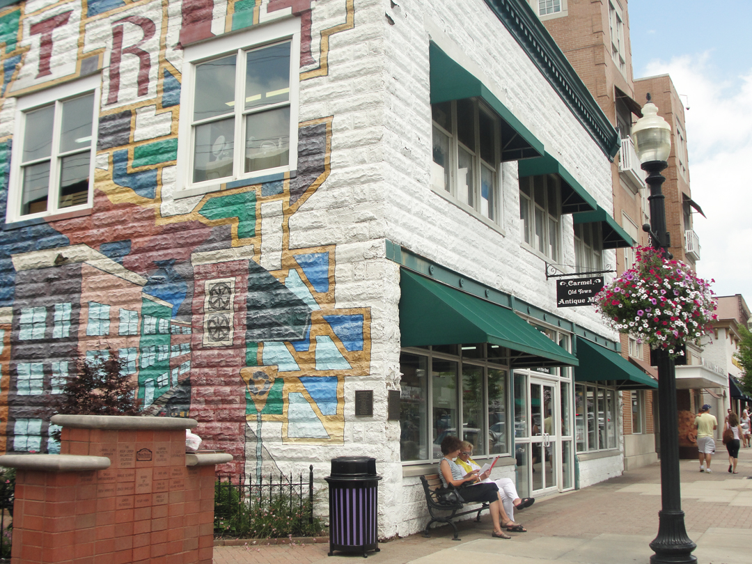
This building is the last of the old village structures. Formerly the home to Carmel's fire department, it is now an antique store. The clerk who rang my purchases explained that everything else along Main was built new, which means all of the buildings pictured above. All of them.
If you look closely, you can discern such in the manner of the architecture, the size of the windows, the style of the detail.
The people pictured at left are real, by the way.
After my look about here, and buying a couple of Dreiser's books at the antique store, I continued on toward Indianapolis. Naturally, I ran into a detour. A new roundabout was under construction, so I found myself shy of US 31 and headed South on Old Meridian Street, to eventually intersect with Pennsylvania.

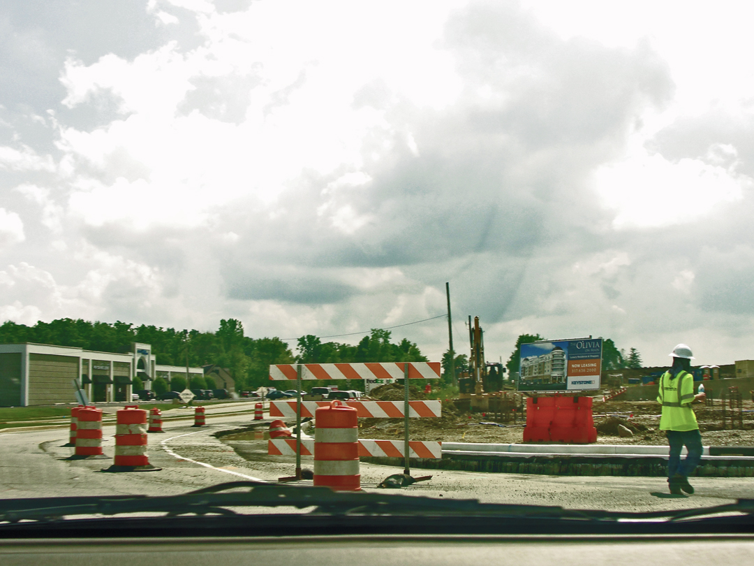
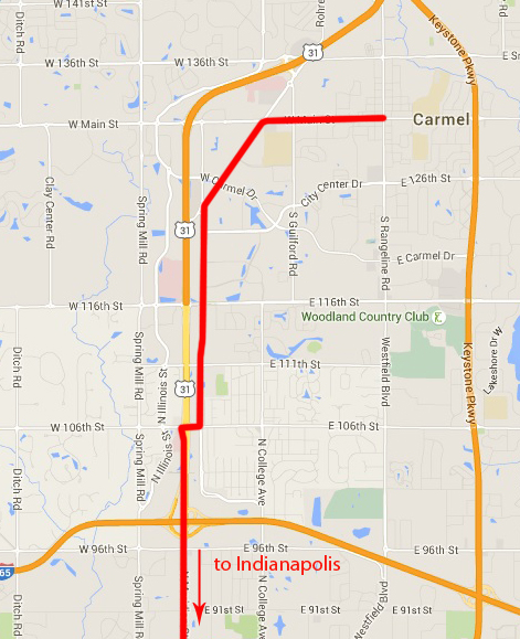
One of those things about the expanding, affluent communities that I find so amusing and annoying is the numbering of streets. Stretching all the way back into the countryside, these cross streets were numerically noted up to 296th Street. 296! Really?! I mean, who wants to be known for living on 296th? Down here, I was in the high 110s, and made the turn to get to Meridian Street at 106th, the intersection of which was also under construction, still. Hooray for the orange cones!
Below left, along Old Meridian; and at right the construction at Meridian.
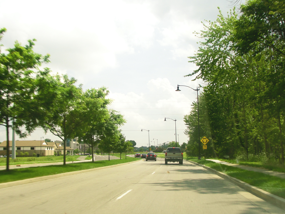


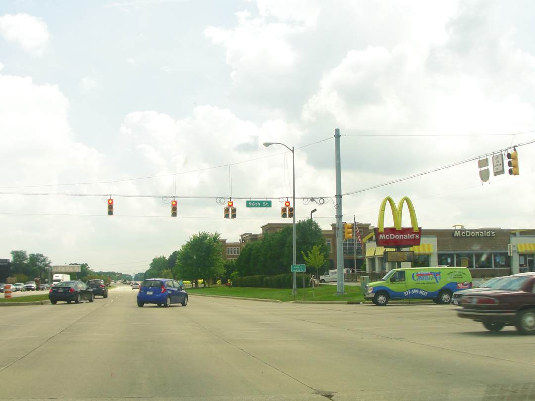
Above, just inside Indianapolis' perimeter at 96th Street.
This area is one of those odd zones of newish offices, the National Chains, with apartments and condominium constructions back of those. An area not so prosperous as some, but far from poor. Farther South, the neighborhoods changed again, now older, single family dwellings still as built, and still for the affluent, speaking of a time when "money" was moving out of the city center to the early suburbs.
Below, at 52nd, the Volvo was pumping out "Boots & Cats" music. At right, a pretty typical house of this belt.
To drive through here was to see history, really, the history of the migration of money.
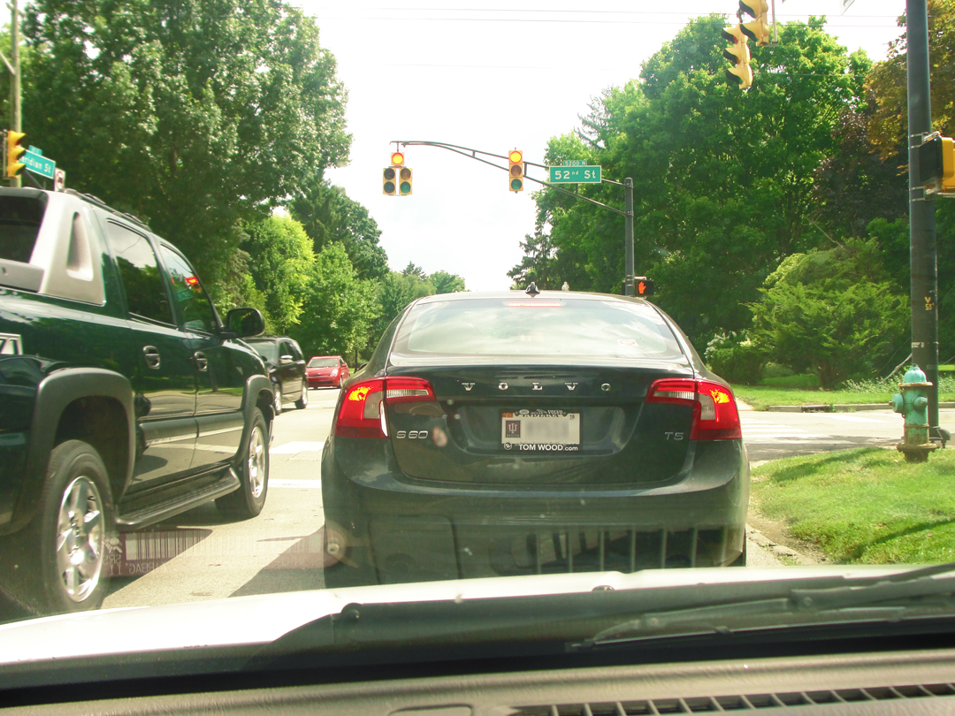
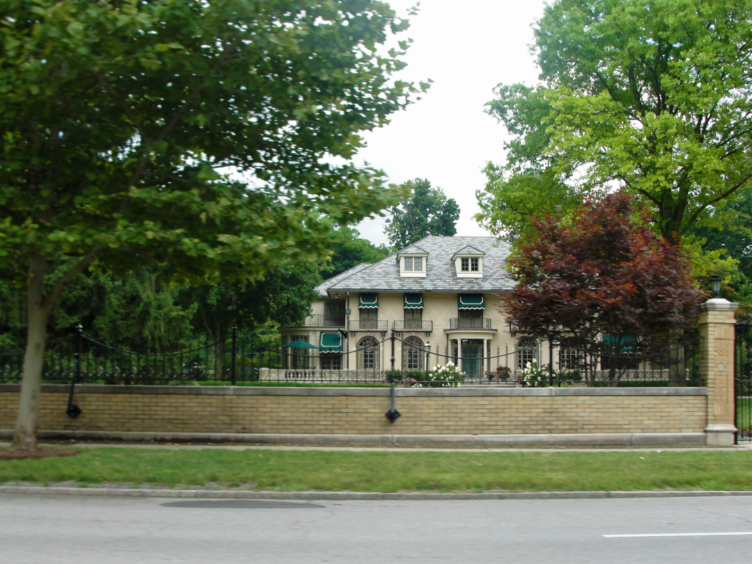
As with many metropolitan areas, it is obvious to the observer who credits a little of the historical record how "money" has moved across the miles, whether moving from the inside out, or the outside in as I was doing this day. Populations and generations with the means moving themselves out of the "old" city, removing to some place with more space, more air, more trees, leaving behind the working classes and the poorer numbers to the apartments and the landlords that may or may not care for their tenancy. Those who removed then being passed in turn as new lands are platted from the rural fields for modest developments, as had occurred post World War Two, with the GI Bill and the governmental structures and strictures that allowed the middle classes their own little plots of light and air -- and a commute in the advancing ocean of automobiles. Then, behind me, the once upon a time village finding itself in a better financial position and growing outward as well, resulting in a horizontal layer cake of varying income levels.
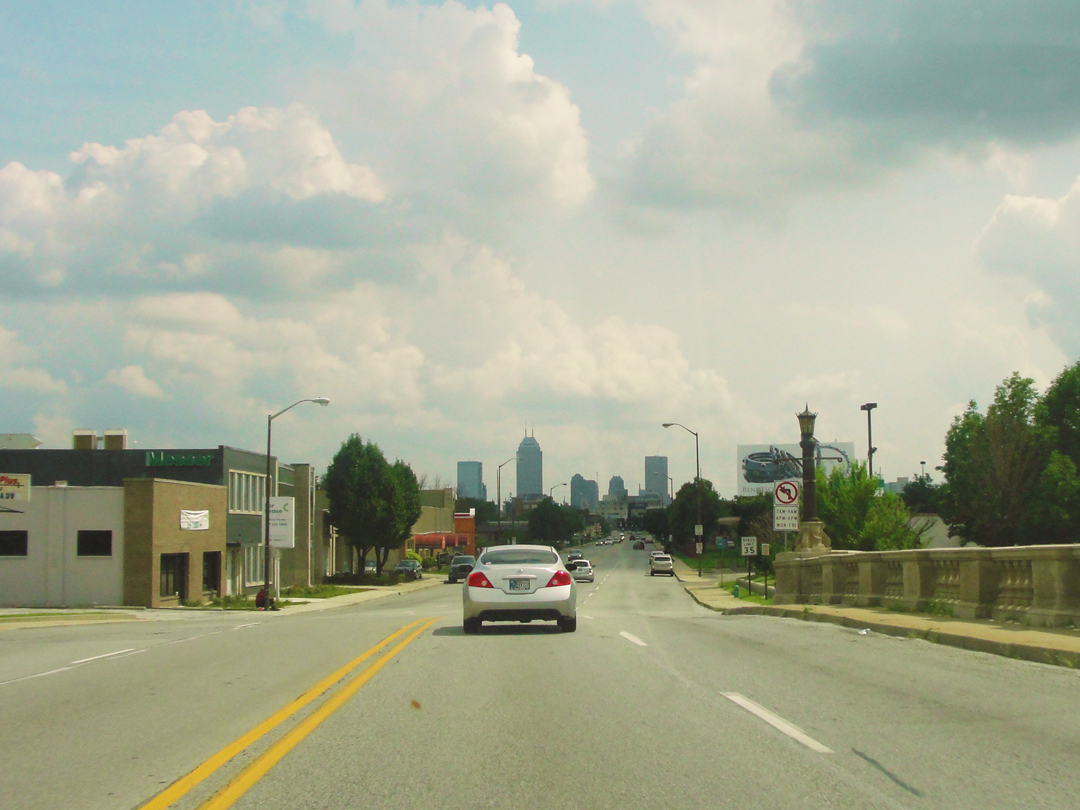
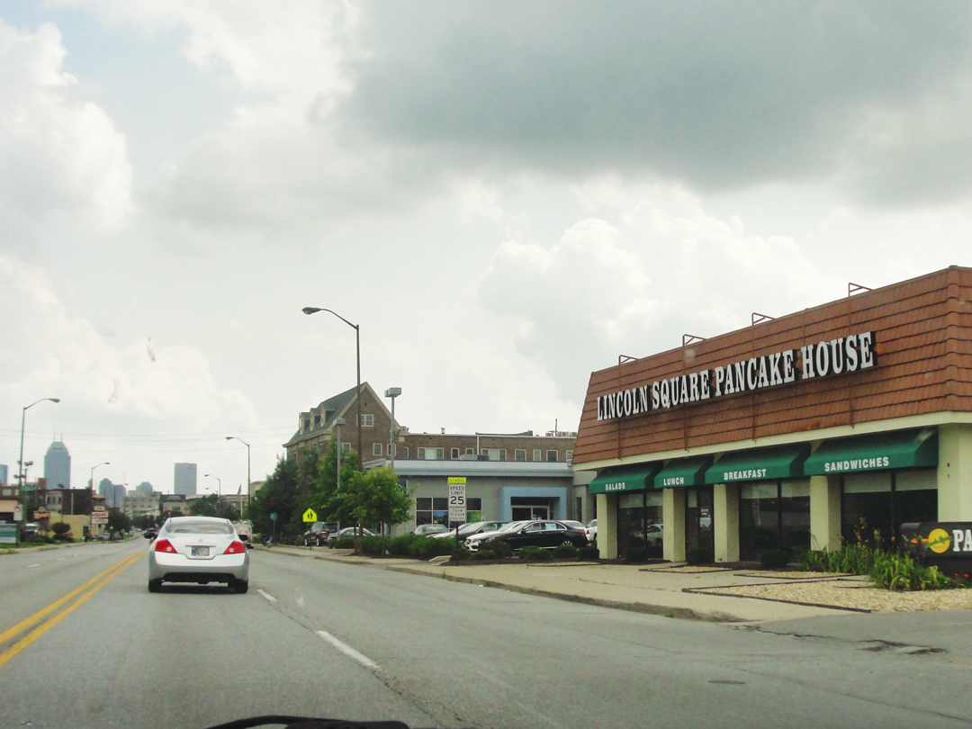
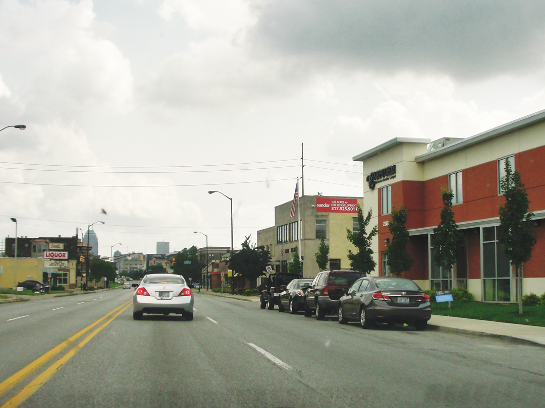
Views along Meridian Street, South-bound toward downtown. I had not noticed until I was selecting photographs for this section that I was behind the same car for quite some time.
I suppose what amazes me is the visible results of the history of money and policy. I have heard and read in numerous places some of the stories of how money and policy enabled or restricted various populations and their ability to find some place decent to live. Here along Meridian you can see some of those results in the condition and types of properties, the kinds of retail establishments available to the residents, the quality of the passing cars.
But I came to Indianapolis this day to find a couple of specific locations that Dreiser wished to observe: the homes of President Benjamin Harrison and of poet James Whitcomb Riley, of whom Dreiser wrote "I revere James Whitcomb with a whole heart [but] I had heard that he didn't approve of me." My map of "Indy" has both locations marked, as both are now historic sites. Dreiser, feeling a little "bashful" for Whitcomb's disapproval did not go up to the man's house, and wrote that perhaps he and Franklin might go some other time, but knowing he would not. Indeed, he may have lost his only opportunity as in 1916 Riley died in that house.
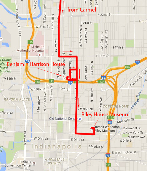
Approaching the Harrison site, I actually went around the block -- well a few blocks -- looking for the address; the problem was North Delaware is one way headed North. I found I had passed the site the first time around, but it was on the opposite side of the street.
Riley's house was easier, and I fairly drove right to it.
The neighborhoods around Harrison's house is odd, too, for a commingling: what I perceived to be an influx of middle classes with an apparent interest in fixing up older houses very nearby to what I saw as the residences of the working poor, all within sight of I 65 where it cuts across the cityscape. I may be ungenerous to have thought so, but I joked to myself that the area was being "brought up" by bicycling locovores. I have only been through a few neighborhoods in Indianapolis, but many areas have struck me as having this admixture, as if the city can't quite figure out what it is.
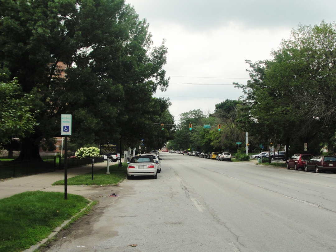
Below: along Delaware Street, near the Harrison house site. The Interstate is only a block or so away from here.
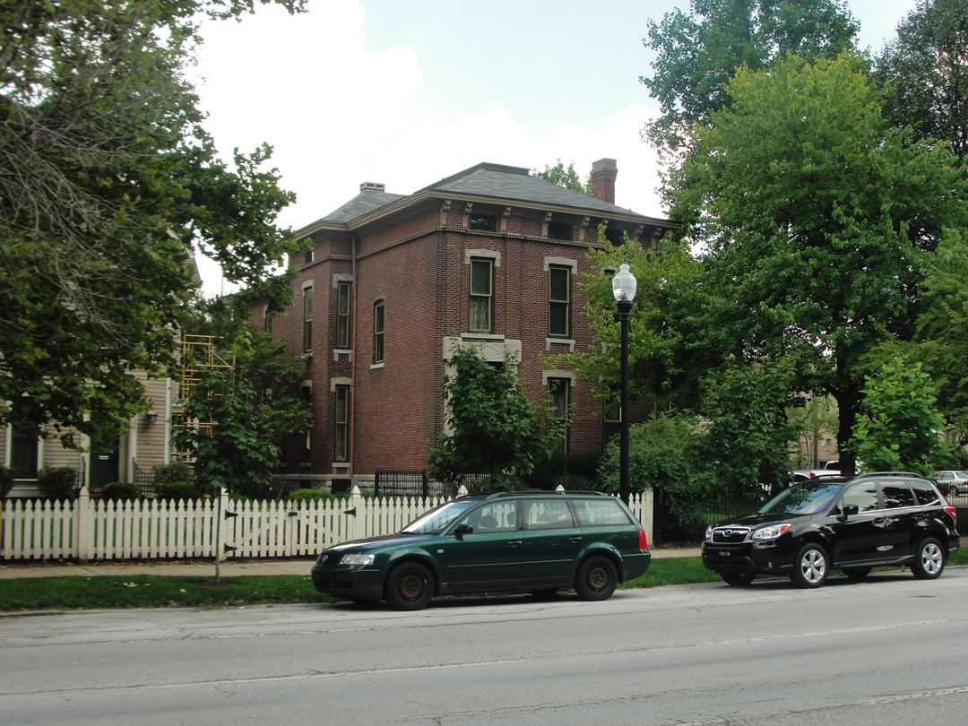
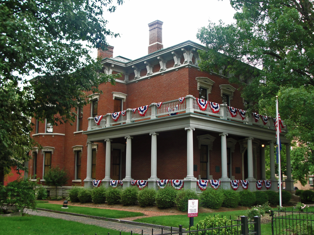
The Benjamin Harrison house.
About a mile away, Lockerbie Street was, I've been told, some 30 years ago one of those places where "you just didn't go." Today, the neighborhood around Riley's house, now a museum, is pretty nice (as seen below). If it was "down" once, it has certainly "come back."
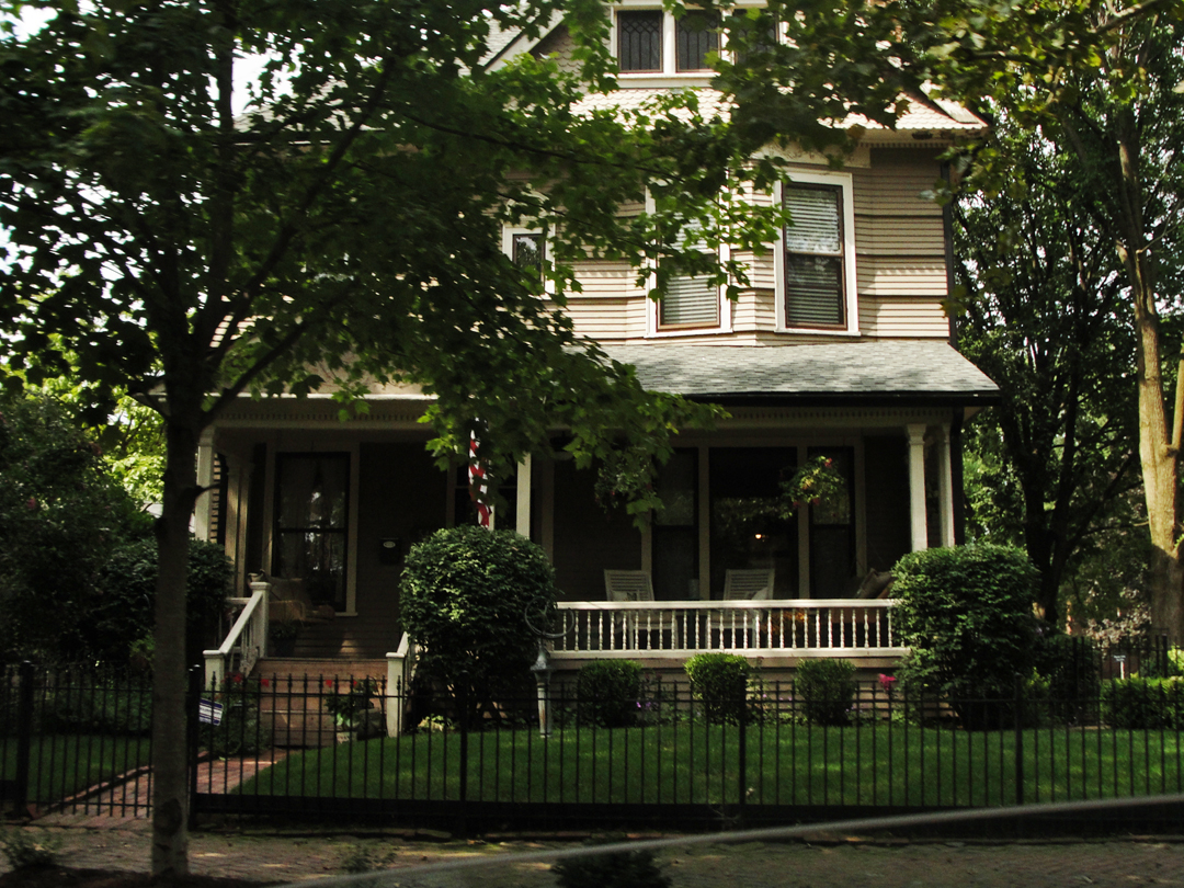
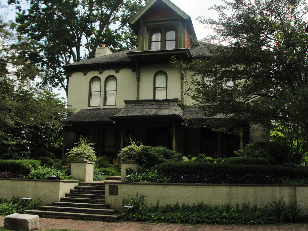
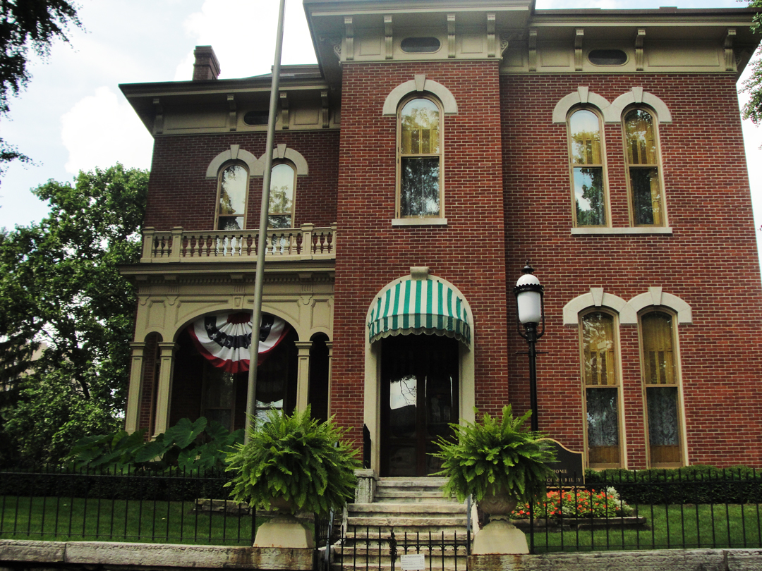
The James Whitcomb Riley House and Museum.
I may be ungenerous to Indianapolis generally, for though it's only about an hour away, I have ventured to it but rarely so far, in several years, though perhaps more in future. I have been down on a few occasions to pick up paint for my work, buying from Indianapolis Stage, which is a great reason or excuse to "get out of the office" and take some time while saving the shipping cost. Returning I will take a little time to drive about some before getting back on the expressway, making the occasional stop to have a look-see at a shop that caught my attention. I have also been down to the Landmark Keystone "Art Cinema," which shows some of the movies that the big "chains" simply won't. Turns out Landmark is a national chain, too, with locations in several cities, including the Sunshine in Manhattan where I viewed a few films.
Anyway, as noted above, I was grudging in my drive out this day, for what-ever reason, and that reticence kept me from ambling about much. Once having been down Lockerbie Street, I made my way generally toward an Interstate on-ramp somewhere, though in a hap-hazard fashion. I found myself truly downtown, passing the large office and hotel towers, as well as the Capitol.

A panoramic view of Indianapolis circa 1914. At the far left is the State Capitol.
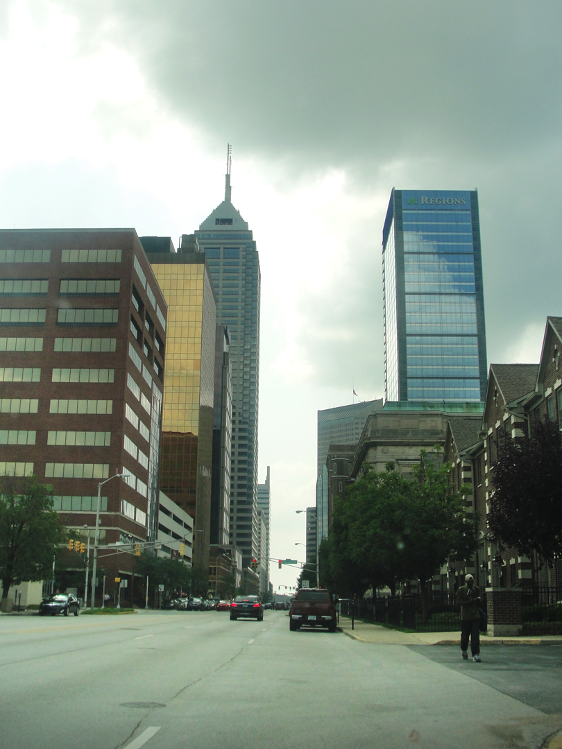
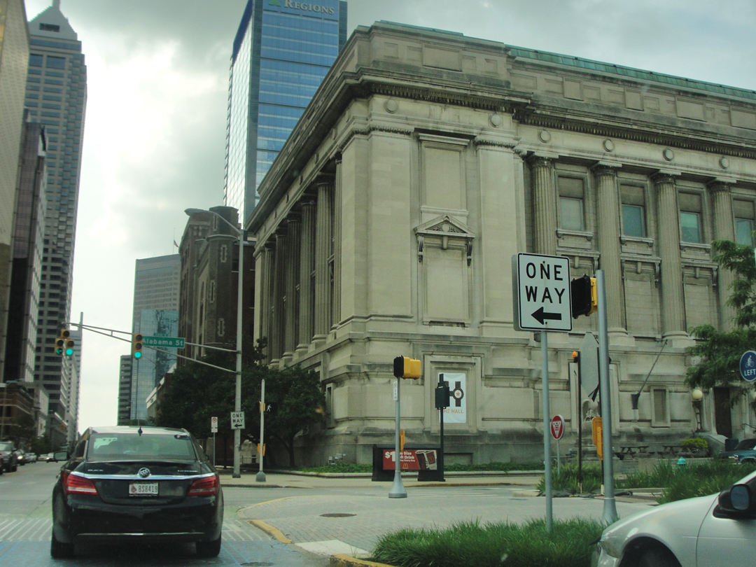
Looking along Ohio Street. Above right is the old City Hall, currently available, as it has no full-time tenant, though the city planners are looking.
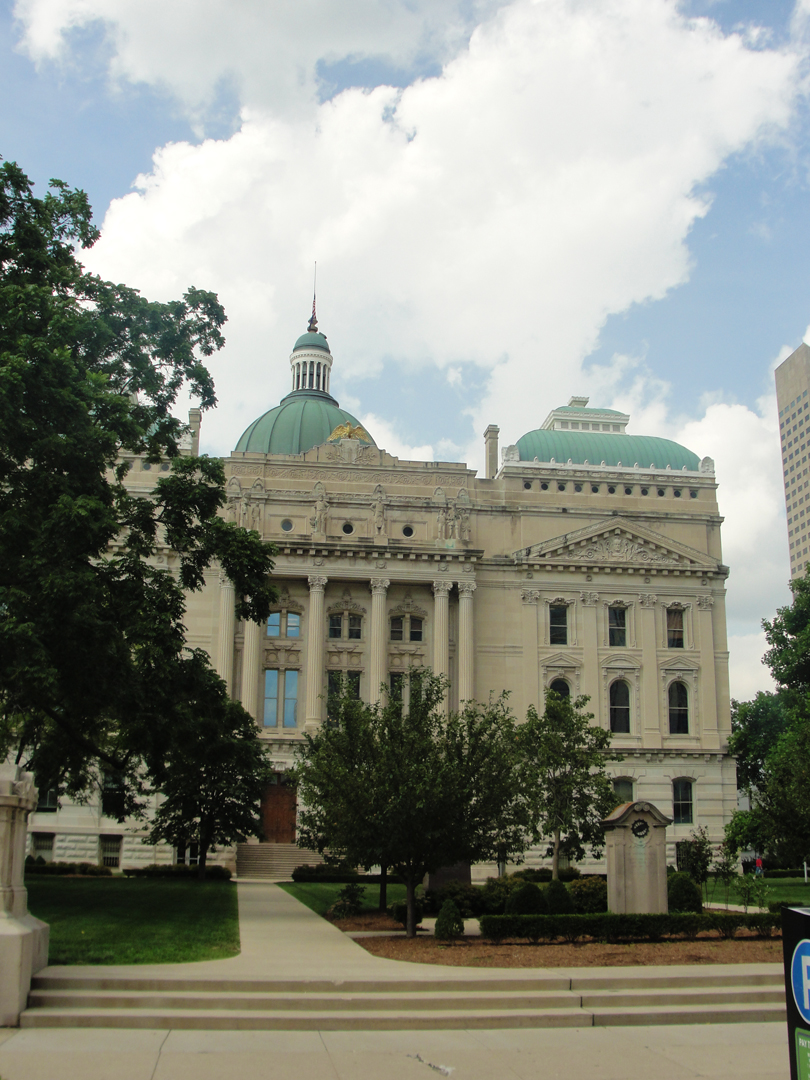
When I came along Capitol Ave, and saw the Capitol, I thought "Hey! Capitol! I should stop," and I pulled around to Washington Street and a parking slot at the curb. Because the building is of a size, occupying a fair amount of its plot, I found getting most of it in frame a bit difficult. Perhaps I'll remedy that in the not-too-distant future.
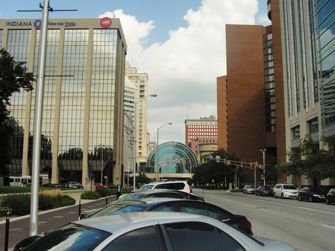
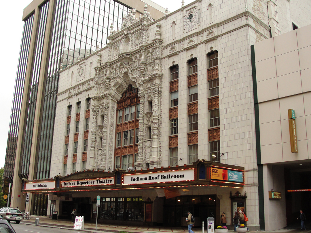
As I looked about, I realized I had, after all, been down this-away before. In the Fall of 2014, there were several of us who came down from Purdue to attend plays (matinee and evening performances) at Indiana Repertory Theatre. Turns out I was but a block along to the West.
Looking East from my parking space, I easily saw the atrium bridge leading to the Circle Centre Mall, and I said "Hey I know where I am after all!" The facade of the Indy Rep building is just visible, to the left of the bridge, and below, in a photo taken on the 2014 trip.
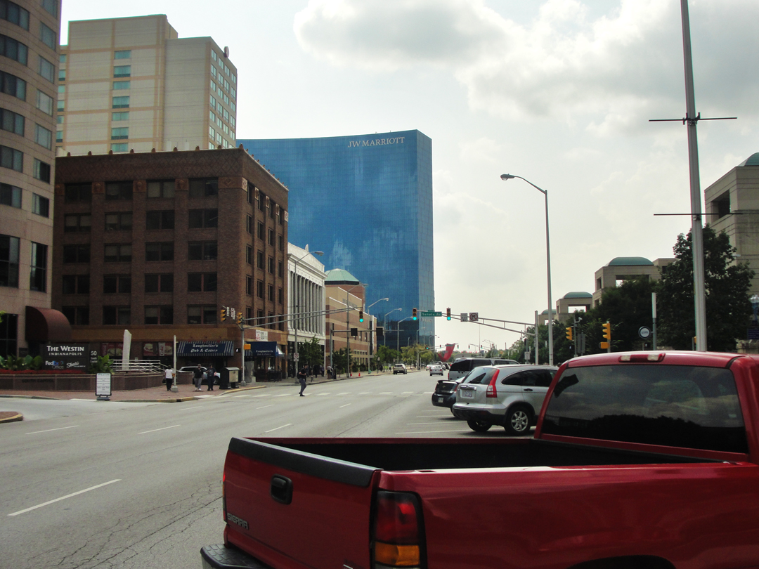
At right, the view West along Washington Street.
After this, I found my way around to an on-ramp, and back on I 65, bound North for Lafayette.
When I looked up at the ever-changing cloudscape over the highway, I marveled -- hardly for the first time -- that no matter what we put ourselves through down here on the ground, the clouds at least haven't changed, or at least not much. I'll happily try to get a photograph of clouds with corpuscular rays:
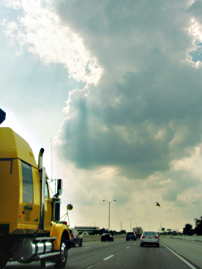
Once out of Indianapolis, knowing there was an approaching detour (the Interstate being closed for the failed bridge, near Lafayette) I turned off early, thinking I would avoid the general crush of traffic on the officially designated alternate routes. Shortly after exiting the Interstate, I took this view of the Indiana farmland:
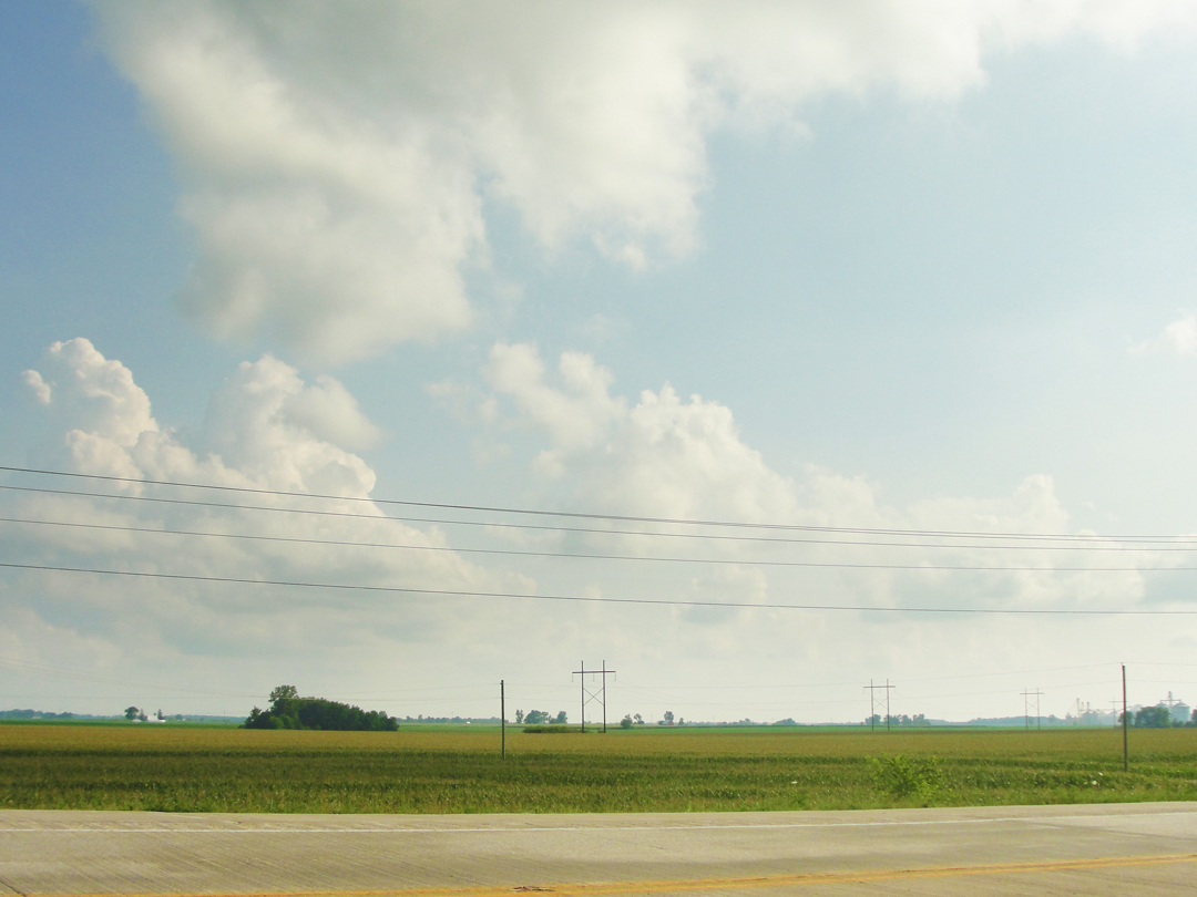
After which I ran up on a traffic jam! In the "middle of nowhere" there was a half-mile back-up -- for an accident, I think. I made the attempt to circumnavigate the stopped traffic and saw several emergency vehicles in the distance, and then found that that county road I had turned on to was closed because of high water! I was not the only one to do this, either.
If I had been driving a pickup truck, I likely would have said "to hell with it," and forded the water that had "ponded" over the pavement; it was not moving, it was just a really big puddle. But my saloon has a rather lower clearance, and not knowing nor being able to ascertain the depth of said giant puddle, I sighed and turned around. The idea of flooding the engine was not one I found appealing.
So back to the expressway for a few more miles, and my own detour away from the "official" one. Even then, other "orange cones" made the journey slower than it might have been, but -- "what'cha' gonna' do?"
Tomorrow: looking over the map, and figuring out the drive South for another visit to Indianapolis, and thence to Evansville!

