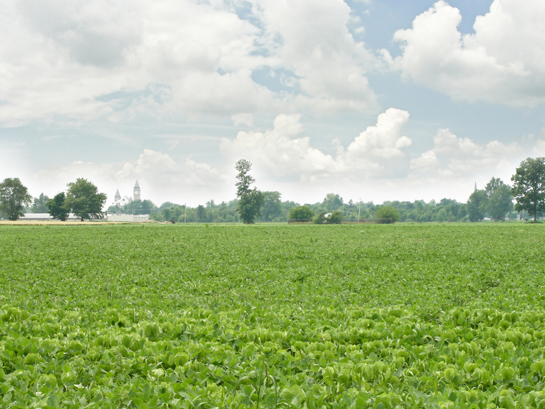
I headed out of Indiana by driving East on one of the state highways. When I first came to Lafayette in 2010 to secure an apartment, I started my return trip to New Jersey that way, crossing the state on Indiana 26, until I got to Ohio. In 2014, I began by running down to Frankfort to pick up IN 28, and continuing East from there. Along the way I was looking for chances to stop to take photographs like this one, East of Tipton:
And then:

Seemingly out in the middle of rural America was this remnant of Middle America: a drive-in movie - um - place? Now that I think about it, were they only known as "drive-ins" or "drive-in movies?" Not "drive-in movie place," or "drive-in movie plot;" "drive-in movie theater" maybe.
Did they ever count as "cinema?" Hardly "art house," though some might have shown less than commercial fare. Certainly there were many that showed the ever popular but not exactly "respectable" pornographic movies. There was even, supposedly, one of those outside Neosho, where I attended high school. In 1915, of course, these things were still in the hardly-imagined future, but would be part of the "car culture" that was burgeoning even as Dreiser, Booth, and Speed began their trip. Less than a million autos were registered then, but that would rapidly change. I've seen a few movies at drive-ins and it is a bit strange to me to know that these have mostly been consigned to the scrap heap of Americana within my lifetime.
Part of my wending across the state was to have a look at the Hoosier High Point, the geographically highest spot of the state. I had come across a notation of its existence while looking at some map or other, and since it was on the way to Ohio, I thought I'd stop there. On the way, I paused for this, on IN 227, a few miles South of Union City:
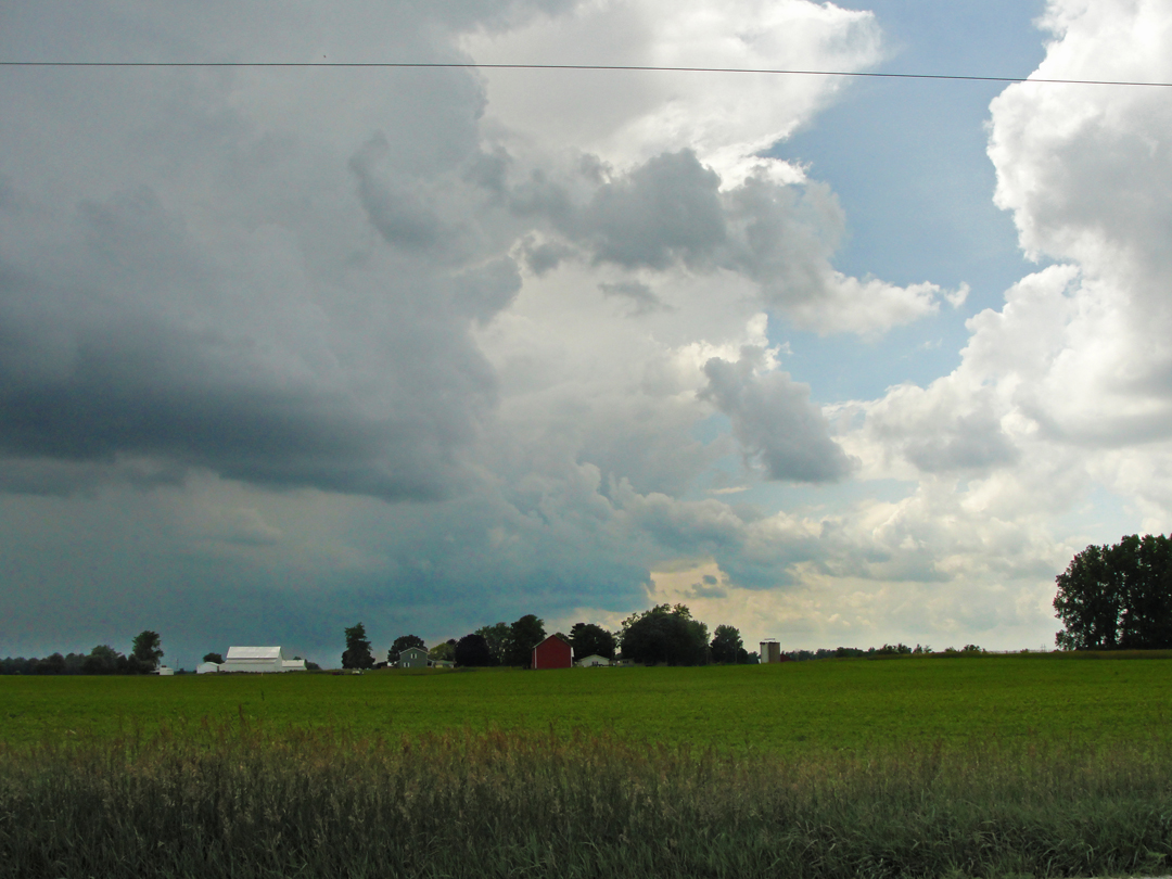
Long have clouds over a landscape drawn my eye to scenes like this; and yes, I've made attempts in the past to create such with pencil or paint, but never to my satisfaction. For better or worse, I have taken many such a photograph.
The Hoosier High Point is, alas, surrounded by countryside that is only slightly lower in elevation, so the impact would be diminished - even if you could see the countryside from the High Point, but it's surrounded by a grove with a substantial under-story. There is evidence of good visitation however: in a mailbox sits a notebook for tourists to leave their name and date of visit, and there were at least two or three entries for nearly every day that I glanced at. I believe I was the third on the day I stopped there.


The parking area and path leading to the clearing in the image above:

The unassuming High Point from just "up" the road. It's hard to tell the difference from here - or there, for that matter. The last 10 feet up the path into the trees shows a notable rise in elevation, but you simply can't see it.
From the High Point, I continued to Dayton, OH, to pick up a DeLorme Atlas and Gazeteer of the state; I had one each for Indiana, Pennsylvania, and New York, plus map books that have most of the Northern New Jersey counties, but Ohio was missing. It was in that book that I found how few roads in Ohio go in something like a Cardinal direction. Most go from town to city to town to town - or just bob about the vales of the South side of the state. Oh, well. (DeLorme's atlases focus on single states, which allow them to depict roadways down to the level of county maintained "dirt." I've found some discrepancies between what I've driven upon and what's illuminated in the book, but in the main DeLorme is pretty well inclusive.)
I stopped for the night on the out-skirts of Springfield. It was getting dark-ish, I needed to rest, and I wanted in the morning to stop at one of the large "flea-tique" markets that sit beside I-70 outside of this town. I had passed them many times, but now I was going to go inside!
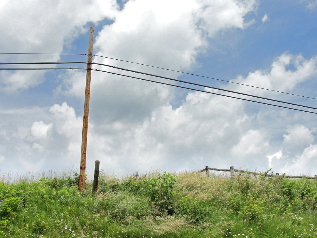
That evening came this cloudscape over Leffel Lane:

It's not hard to mark the electric power lines and their constituent poles in this photograph - indeed, how those elements of our modern landscape fit into a composition is something that I find myself having to consider when I would rather simply focus on the natural. Getting away from the man-made is difficult these days.
In the photo below is an example of the fairly commonplace on pretty vast swaths of America: a few miles East of Springfield is this GFS (Gordon Food Service) warehouse.

One of the things I have often wondered: where are the people supposed to come from to buy into new housing developments? Detroit? Youngstown? I wondered that as I stood at this bend in the county road outside Springfield, as one side was still farmed land, while the opposite as up for sale for construction.


After the morning pause at the Heart of Ohio Antique Center (which is HUGE! Seriously, you could spend a day or two if you really wanted to pay attention) I ran out I-70 until I was East of Columbus, then picked up U.S. 40, the "National Road," which follows roughly the line of the "National Road" laid out back in the early 1800's. At one point, the "Old National Road" peeled off of 40 and rose over a hill that had been cut back to make way for 40's construction. Atop that rise, then, I could stand on the "Old," look down on the (new) U.S. 40, and a few hundred yards off was I-70. Here were three generations of road building:
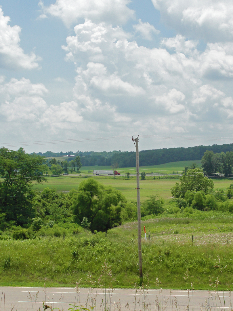
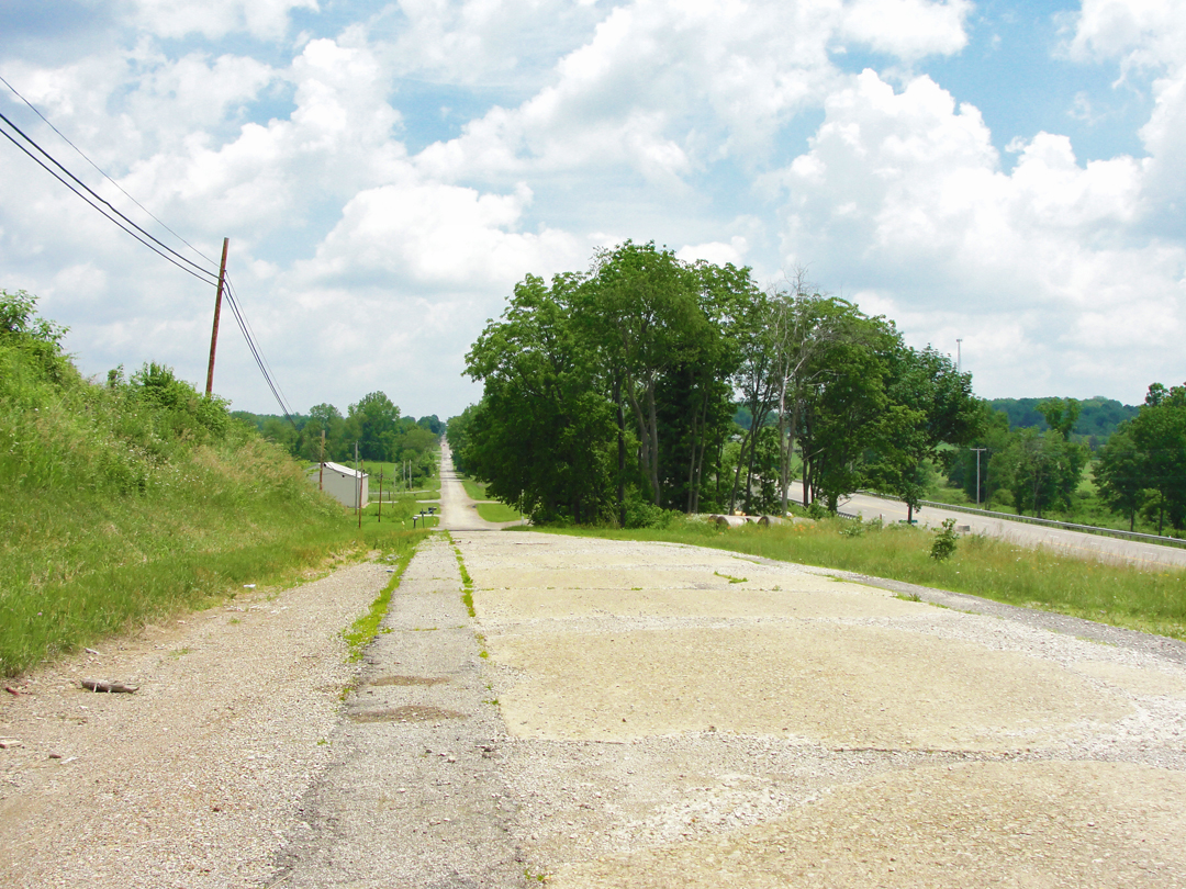
Looking East on the "Old National Road," with U.S. 40 to the right.
Above the Old National Road: a pleasant Summer's day.
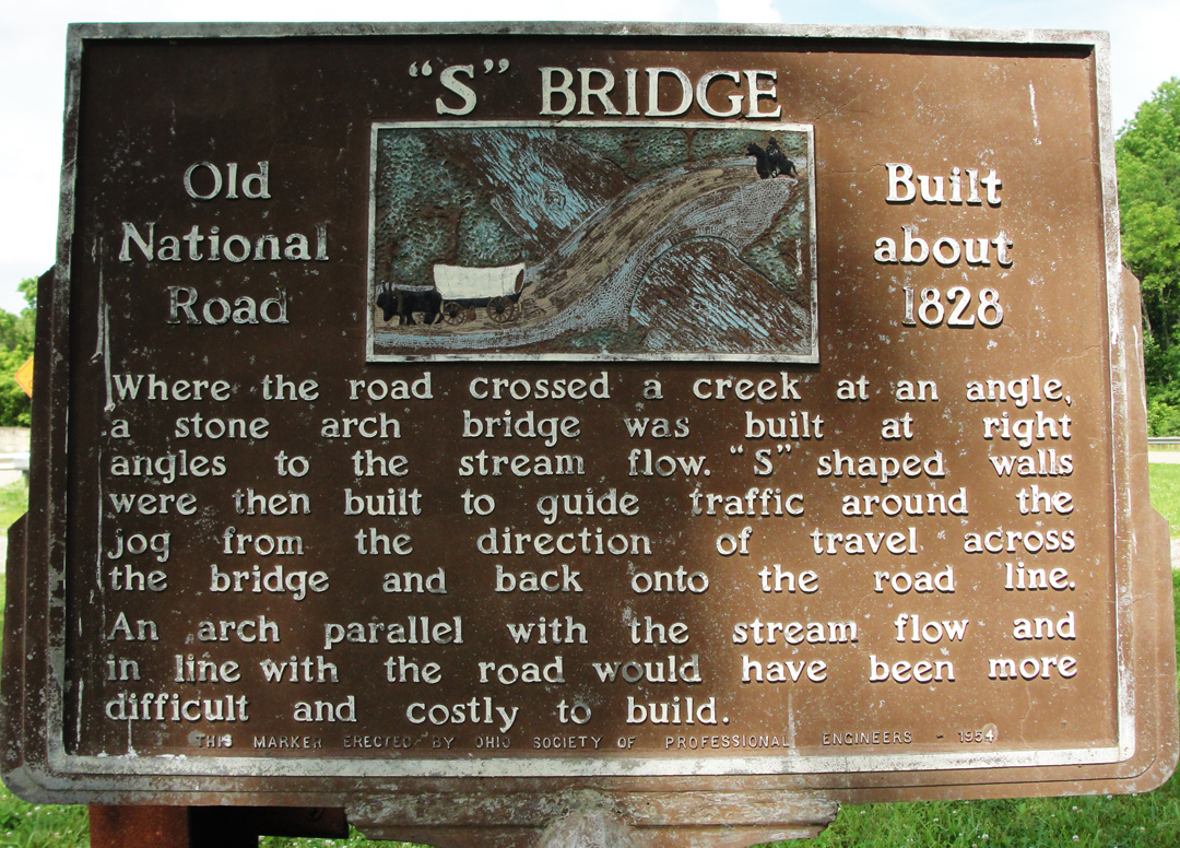
Somewhere well East of that stretch of Old National Road, I wasn't on U.S. 40 anymore either, which had merged at some junction with I-70 (it does that sometimes), and found myself driving on an Ohio county highway adjacent to the interstate. The road zigged under the interstate, and hidden in plain sight but totally out-of-the-way was the "S" Bridge:

As noted in the 1954 marker below, the bridge was constructed as part of the National Road way back at the very "beginning:"
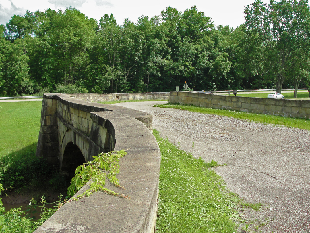
How close is I-70? It is just the other side of the tall tree-line at the back of this view.
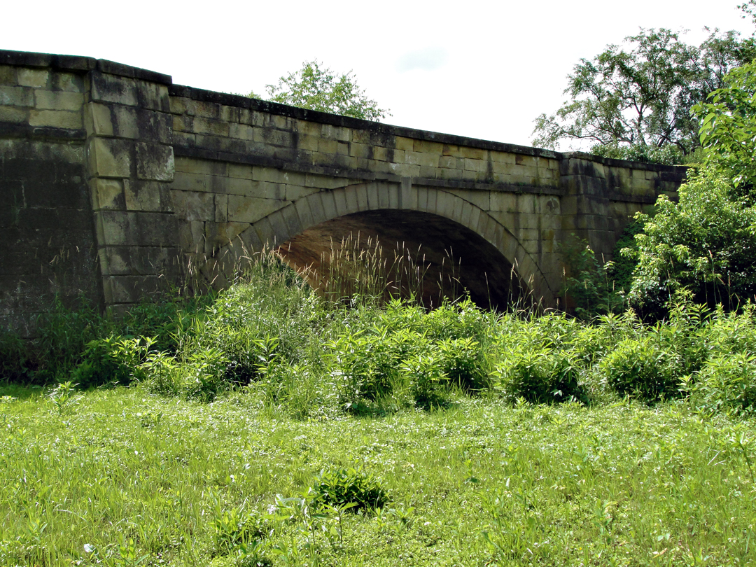
Such was the purported reasoning for staying off the interstate: to find these "out-of-the-way" things that most people probably don't know exist, or if they do know, they have long since ceased to care because it's just part of the landscape.
After the "S" Bridge, I decided I should get on to Pittsburgh and made my way back on I-70. I considered perhaps a stop in Wheeling for a photo of an old highway suspension bridge across the Ohio River, another "one of those things" I had seen from the Interstate but never stopped for. I did, in fact, take a drive over that bridge, which is a link on U.S. 40, but my brain was not working all that clearly any longer, and I made my way on up the Ohio Valley and over to my motel near Pittsburgh for the night without taking any more photographs. Some other day.
It was out in Eastern Ohio that I realized that I had, in my hours away from Lafayette, entered into a mind-set that went right along with the way the highways are built: "I MUST DRIVE." Even though I might see things to stop for, I found it difficult to get past "I MUST DRIVE." All my trips in cars I guess have formed a kind-of muscle memory that leaves little room for STOPPING. I've even noticed that "I MUST DRIVE" will creep up on me when I've gone out in the hinterlands of Indiana, ostensibly to take photographs of the landscape, and yet I will find it difficult to STOP.