
The view from the Mon Wharf, looking toward the South Side.
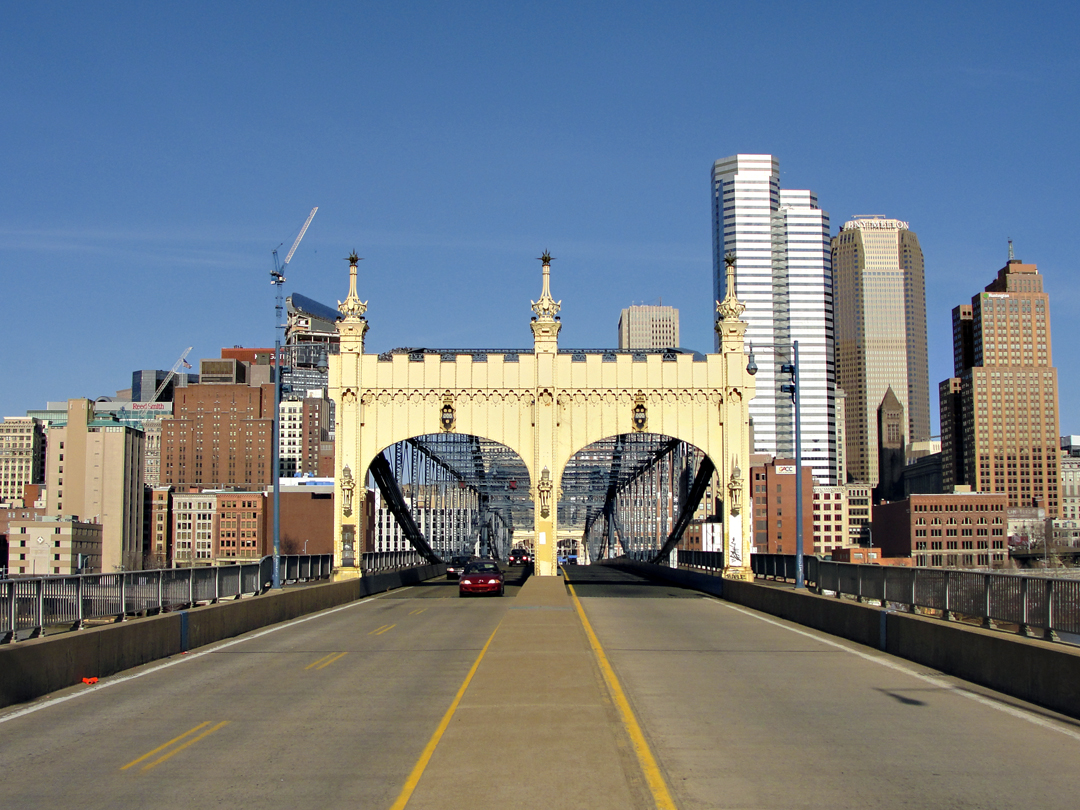
View toward Downtown. It is clear in this image that Pittsburgh's architectural history is very apparent, and still ongoing.
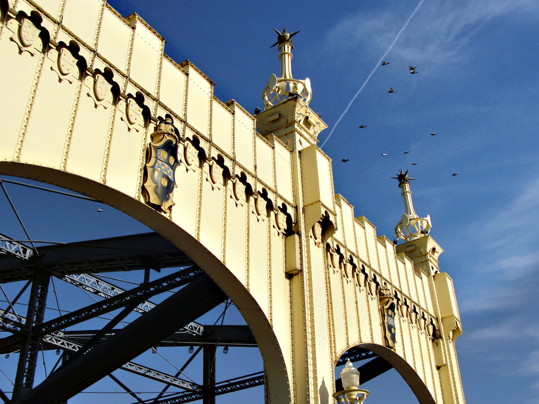
Portal detail, with Pigeons.

Portal detail: "grotesque" of Pittsburgh laborer and light fixture.
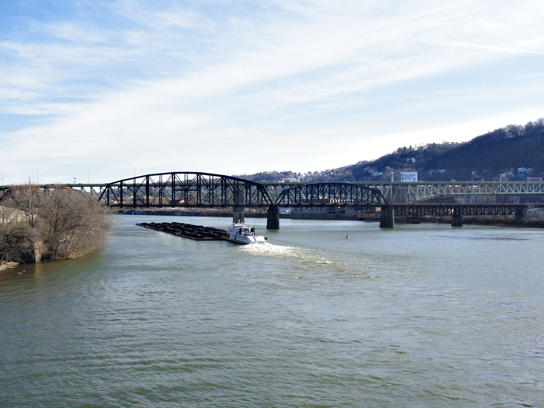
From the Smithfield Street: the towboat Aliquippa moving coal up the Mon, on New Year's Day, 2015
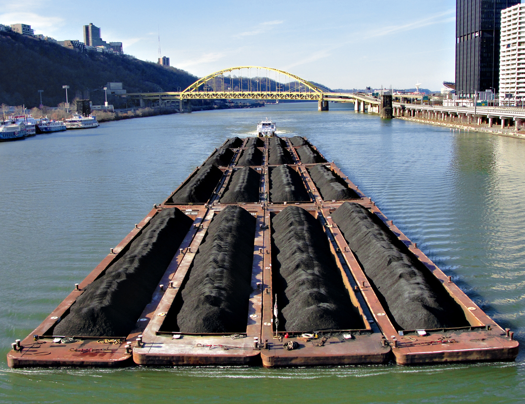
Beyond the Aliquippa can be seen the Fort Pitt Bridge, and in the distance the West End Bridge. On the left is Mt. Washington, where most of the photographs of Downtown, on the right, are taken from.
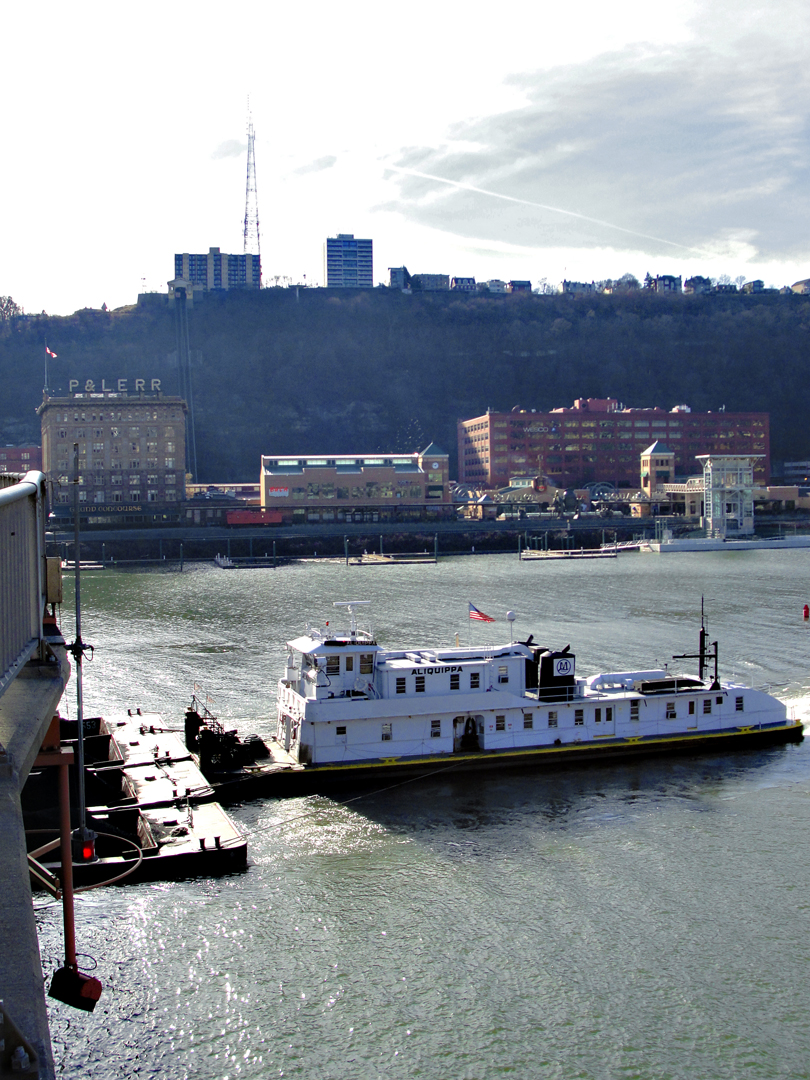
With the Station Square area on the far bank, and the Mahnt rising behind. To the right of the old Pittsburgh and Lake Erie Rail Road building (P&LERR) can be seen the tracks of the Monongahela Incline. Mt Washington used to have, I think 6 inclined railways taking people and vehicles from the flats to the top, but now only the Mon and the Duquesne Incline remain. They are still popular with visitors, and at least the Mon is accessible with a bus pass by commuters.
The "Panhandle" Trestle, just above the coal here, was built for one of the numerous rail road companies that serviced Pittsburgh in the last 120 or so years, and now carries the Port Authority's "T" trams from the South Side and South Hills to Downtown and beyond to Heinz Stadium. Beyond the trestle is the Liberty Bridge.