As this trip came to pass, I was in New Jersey for the 4th of July. Ordinarily I refrain as much as possible from "doing anything" on holidays like the 4th, or Labor Day, or Memorial Day, and was happy to spend the afternoon and evening with a former co-worker for a 4th's cookout and a night's sleep not in a motel. The 5th saw the beginning of the return West, as well as the shadowing of Dreiser's trip in 1915. To some small extent I was following his route; but - silly me! - I didn't have my copy of the book to plot with. So I made it up. I remembered enough to make some guesses, which turned out to have been pretty good.
To begin with, though, a couple of New Jersey views that date from my years living there, and that bare remarking as there is concordance with Holiday. Having crossed the North (or Hudson, if you prefer) River from 42nd St., Dreiser and company first made their way up out of Weehawken, and managed to get across the New Jersey Meadowlands, a very little bit of which is pictured here:
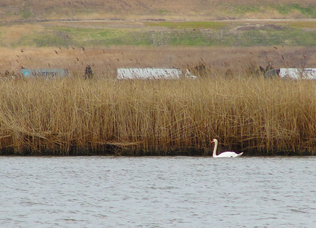
Jersey's Meadowlands were once categorized as a white oak swamp, but the white oaks are all but gone - replaced in the main by tall grasses like these on the Hackensack River. The Turnpike is in the distance, chock-a-block with semi traffic. I'm pretty sure that the rise in the distance of this view is probably land-fill.
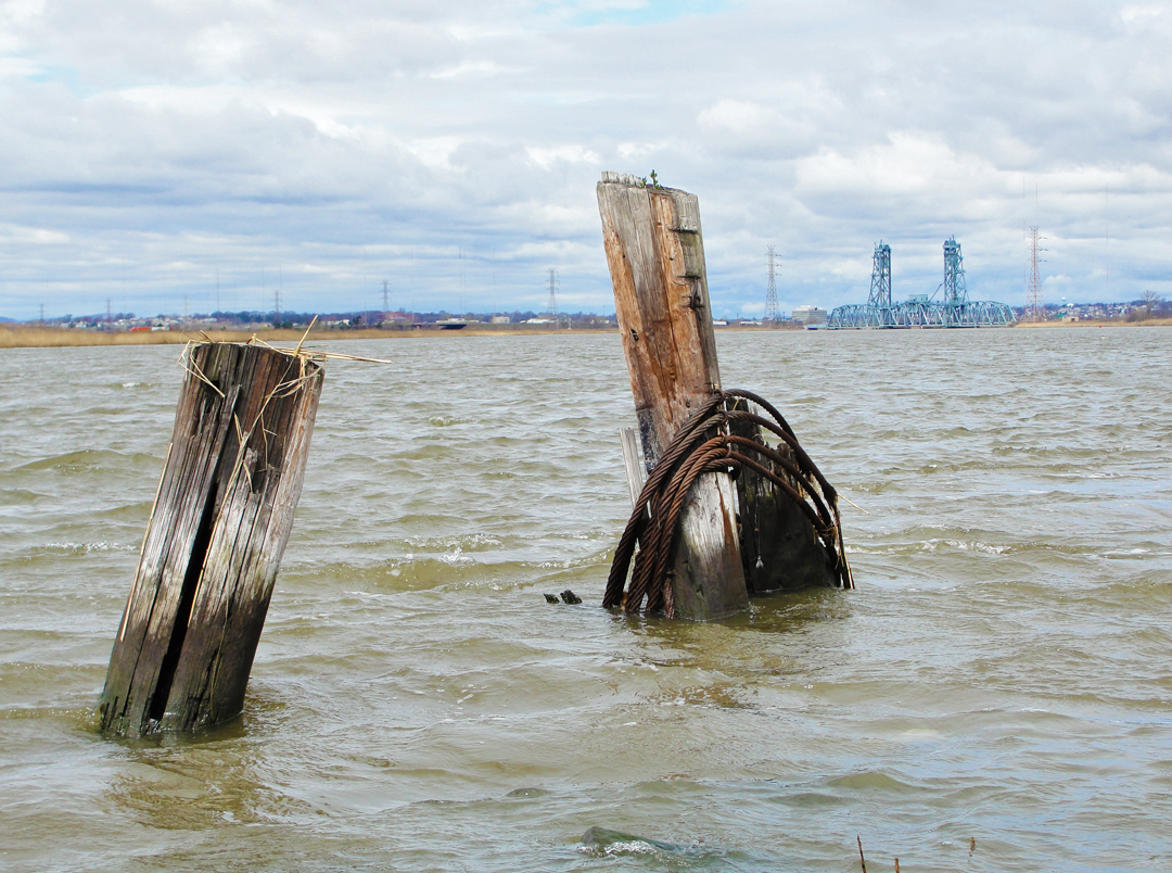
The Hackensack with some remainders of its industrialization: old bulwark posts here, and in the distance a railroad lift bridge.
After passing Secaucus, they had a stop in Paterson, with its history of early American industry, and a look at the Great Falls of the Passaic River:
"The ground around the falls had been parked, and standing on a new bridge one could look down into a great round, grey-black pit or cup, into which tumbled the water of the sturdy little river above. By the drop of eighty or a hundred feet it was churned into a white spray which bounded back almost to the bridge where we stood."

And so this view, from what I believe is the same bridge mentioned by Dreiser. This was taken, however, in a February (2008) and the parkland is rather less than the green it must have been of an August.
After Paterson Dreiser and company passed through Little Falls, Boonton, Dover, Hacketstown, making their way to the Delaware River.
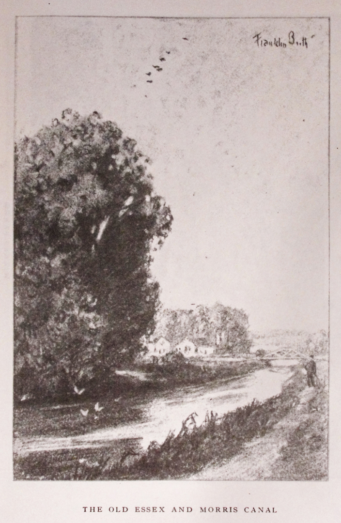
I'll admit I have no idea where the Essex and Morris Canal is. Or was, though it's something I'll find out.
Motoring my out of New Jersey pretty early on the 5th, I found a route across the Delaware River - oh U.S. 22, I can't stay away from you! - and made a turn into Easton, PA. The "plan," such as it was, to pick up PA 611 and drive near the river heading North to the Delaware Water Gap.
I had two reasons for this: I recalled that the Water Gap was one of the locales where the Holiday tour stopped. I had read of the Water Gap in other sources, too, and had definitely been curious about seeing this.
I also was heading for Scranton, PA, and the Steamtown National Historic Site, of which, too, I had read, and figured this was as good a time to go see it as any. What's a vacation/road trip for after all if not to go off and see these things?
Easton was, until this day, just a name on a sign on the I-78. It looks like Easton might have some life to it, I was pleased to find. A little hard to say at 6:30 on a Saturday morning, but the neighborhoods that I looped through appeared nice enough.
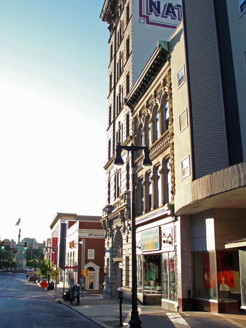
Bearing back downtown toward the river, I stopped for "one of those shots" that I take when I can: the sunlight glinting off of the facades. This morning or evening effect can make even the most mundane building look gilded, and occasionally I catch a view that I like.
Then at the riverfront, there was what might now be termed one of the ubiquitous waterside parks, this bounding the Delaware. I had been following detour signs to get to 611, and saw a wonderful example of road bridge. There was plenty of parking at that hour, so it was time to alight from the car with the camera.
The Northampton Street or "Free Bridge," as it is commonly called, dates to 1895, and accommodates both foot and wheeled traffic. Which means that, having crossed the bridge one can say "I walked from Pennsylvania to New Jersey - and back!" That it only takes about two minutes in each direction need not come into the conversation.

After picking up 611, I was amazed by the view through the trees of the morning sun glinting off the river, but dismayed, as so often, by the fact that there was no place to stop and look. Happily, a couple miles up from Easton was the Frost Hollow Scenic Turn-out, which featured off-road parking and some paths snaking down to the waterside:
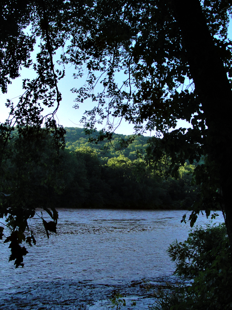
As also so often happens, I was also dismayed by the detritus bobbing along the bank. 30-some years after the Irish-American extra played the Native-American weeping on T.V. because of all the trash discarded by us consuming white folk, and the whole "Give a Hoot, Don't Pollute" campaign that succeeded that, I still have to marvel and shake my head to see the crap that is left behind. Of course I can frame photographs to keep things like Dasani bottles out of the image, but that doesn't mean that they won't eventually become part of the giant islands of micro-shredded plastic floating in our oceans.
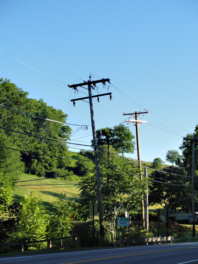
As a photograph of electric lines by NJ Transit, so a photograph of semi-rural power poles catching the morning sun. Yeah, it's just one of those things I do.
Likewise, where PA 611 made a "left hook" before continuing on its Northward path, was this view:
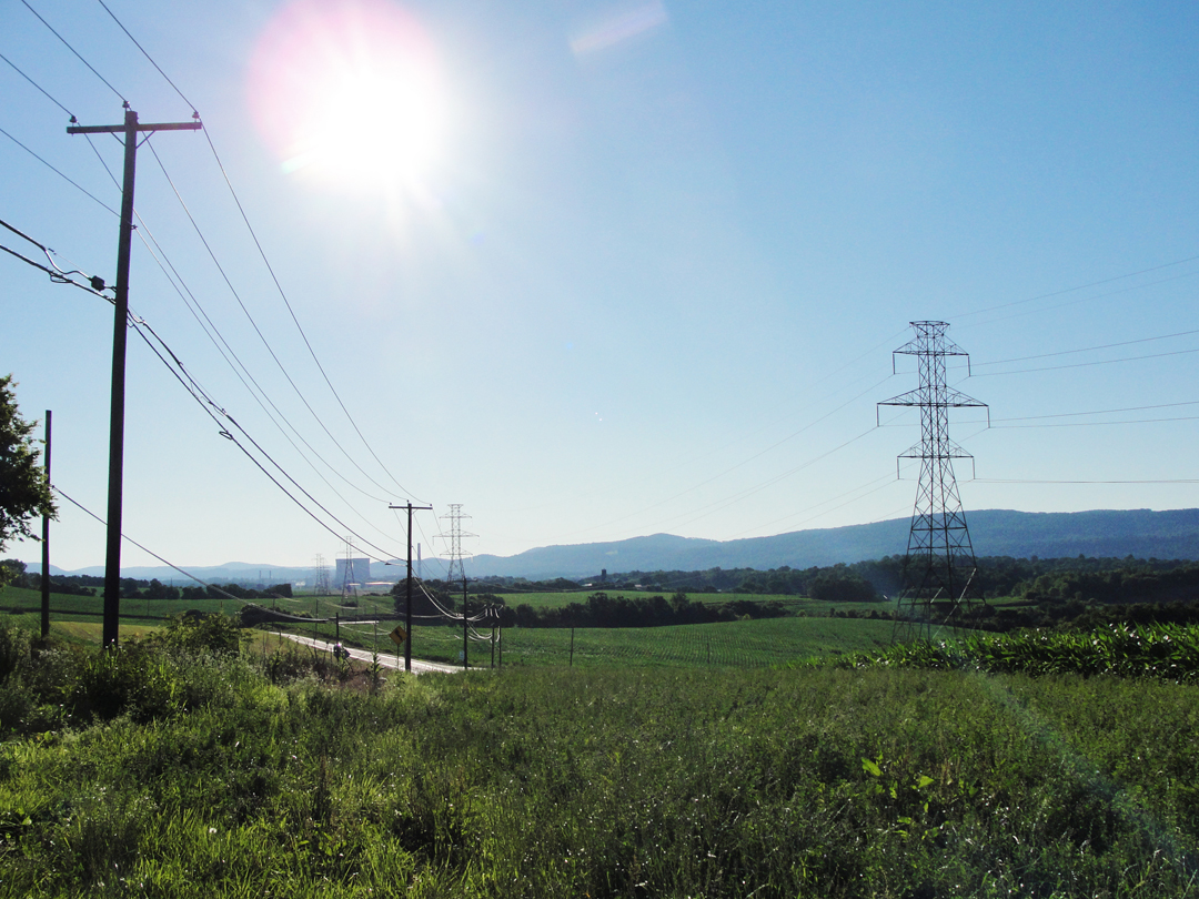
Here can be seen corn fields on the swales of upland above the Delaware, the last ridge of New Jersey's Western reach, and the cooling towers of Pennsylvania Power and Light's Martins Creek oil or gas fired electric generating plant. And the nearly ever-present power poles.
All the ever-present power poles had me thinking one day of what must have been the millions of man-hours that it took to install them, not to mention the millions upon millions of straightest-trunked trees that were harvested to make them. Plus all the time and material that is represented by the uncountable catenary of cable between each pole. For every pole stuck in the ground, for every swag of line, some crew had to bring these things out, dig the post-hole, set it, string it, test it, and on and on, and nearly every road I've ever driven on has these standing and hanging alongside. Rare is the rural road that has no pole, at least in this half of the continent. This doesn't consider all the steel high-tension towers that carry the really large loads from station to station to sub-station, either. That would be a whole other set of numbers.
Such is the way my mind wanders.
After crossing the Delaware by ferry, I'm guessing in the vicinity of of Belvidere, NJ, the company in the Pathfinder motored up a riverside road:
"In the distance was the Water Gap, a great cleft in the hills where in unrecorded days the river is believed to have cut its way through."
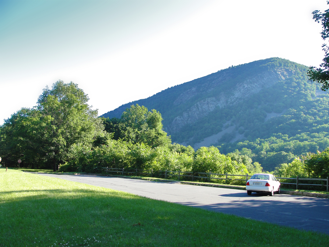
After bypassing the Delaware's course for a distance and rolling over the Pennsylvania upland, 611 rejoins the river's course at Portland, and so begins the run up to the Gap. At times a view of the Gap itself can be had as seen in the photo above, at one of the National Park Service's turn-outs, part of the Delaware Water Gap National Recreation Area. Closer, the Gap, truly a cut through the bedrock of the ridge, looms ever taller, with bare stone showing where the Gap has left the pitch still so steep as to deter the accumulation of topsoil.
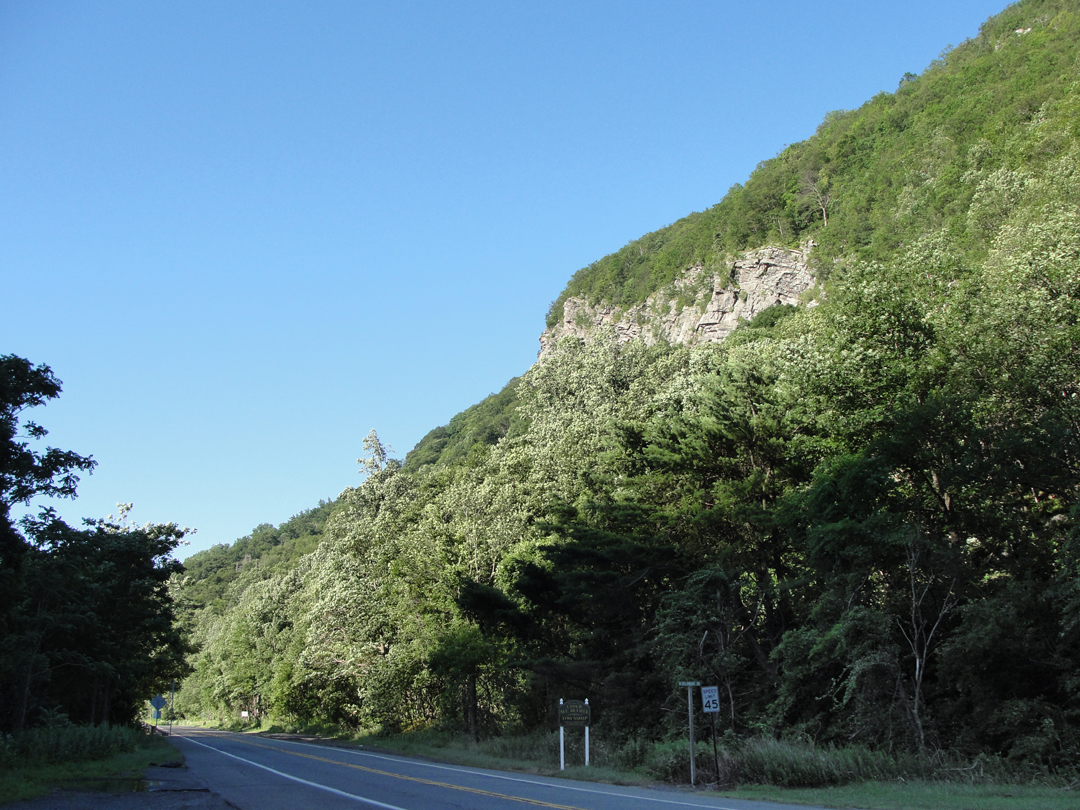
In these two photos, taken only a few minutes apart, the shadow-line is thrown from the Jersey side - by the Point of the Gap itself.
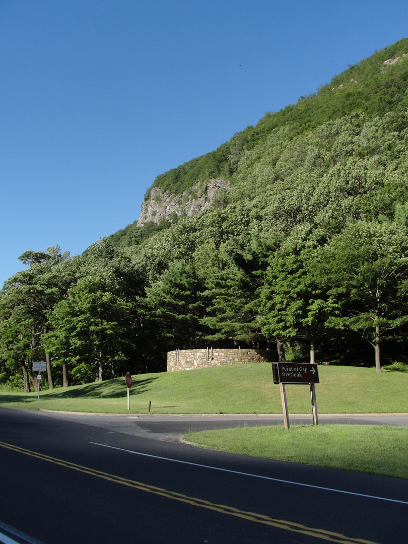
At the turn-out pictured at right, a touring cyclist and I exchanged a few words about our summer travels, and I took a photo for him on his 'phone. The trouble was that shadow-line kept falling, and just as I thought I could get him and his bike with the Point of the Gap in the background, the sun suddenly peeked over the crest and the man's head disappeared in the glare. We finally shuffled just enough to get the shot, and he went on his way happy.
On the opposite side of PA 611 from this turn-out was an unofficial parking area, and were again a few paths leading across some railroad tracks and down to the river's bank.
From the bank came this vantage of the Point of the Gap (composite image):

Across the river is Interstate 80. It occurred to me, looking at that highway, that I had, in fact, been through the Gap once before, when moving from Pittsburgh to Madison, NJ, just prior to taking up my position at the Shakespeare Theatre. But it was probably 10:00 PM or later, and so shrouded in darkness. I may also have been asleep at that point, leaving the driving to my ex-wife. Yeah, that's another story altogether.
Along the approach to, and entering into the Gap, Dreiser makes note of the tourism of the area:
"Along this river road we encountered endless groups of strolling summer boarders -- girls with their arms about each other, quiescent women and older maids idling in the evening damp. . . In no time at all . . . we were entering a region compact of automobiles . . . half concealed hotel windows and balconies . . . We were, as I could see, high on some embankment or shelf cut in the hill. Presently we turned into a square or open space which opened out at the foot of the hill, and there appeared a huge caravansary, the Kittatinny . . . "
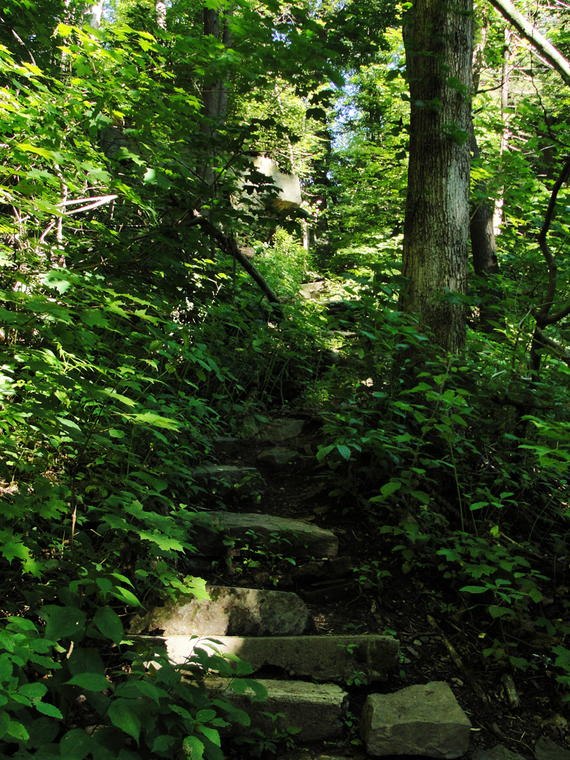
Of the Kittatinny, there seems to be nothing left, and probably since the advent of the Recreation Area, nought remains evident of what by Dreiser's recording must have been a fair number of riverside hostels of varying size. A mile or two downriver from the Gap is a "wide spot in the road" with a number of houses, but I can't attest to whether it's a hold-over from last Century's resort days.
There was a Park Service scenic turn-out at a spot near where the Kittatinny once stood, and adjacent to a spur coming down off the Appalachian Trail (left). The view, if it's anything like visitors to the Kittatinny would have enjoyed is pretty amazing:
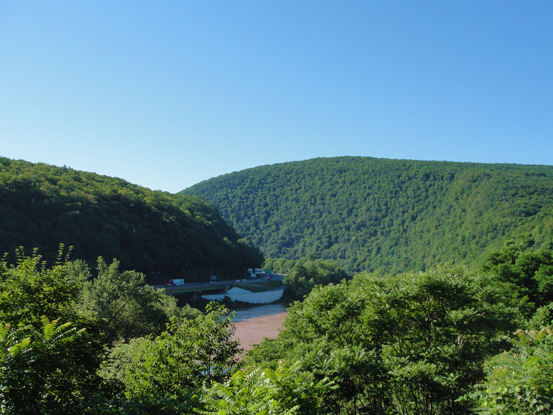
Again, I-80, down there on the Jersey side of the valley.
From the Kittatinny, Dreiser --
". . . wandered off into a region of lesser hotels and stores -- the usual clutter of American mountain resort gayety . . . American summer mountain life is so naive, so gauche, so early Victorian. Nothing could be duller, safer . . . yet with such a lilt running through it, than this scene. The one street was full of idlers, summer cottagers, hotel guests, the natives -- promenading . . . All these maidens were so bent on making catches . . . so earnest to attract attention . . . I never saw more diaphanous draperies . . . All the brows of all the maidens seemed to be be-ribboned . . . The air was vibrant with a kind of mating note -- or search. 'Well, well,' I exclaimed, and bought me all the truly indicative postcards I could find."
Beyond the Gap, I joined the traffic on I-80, and made my way by these modern automotive paths to Scranton, PA.