"I'll tell you what, Franklin...all my life I've been thinking of making a return trip to Indiana and writing a book about it. I was born in Terre Haute...brought up in Sullivan and Evansville...Warsaw up north. Agree to take me to all those places after we get there, and I'll go. What's more, you can illustrate the book if you will."
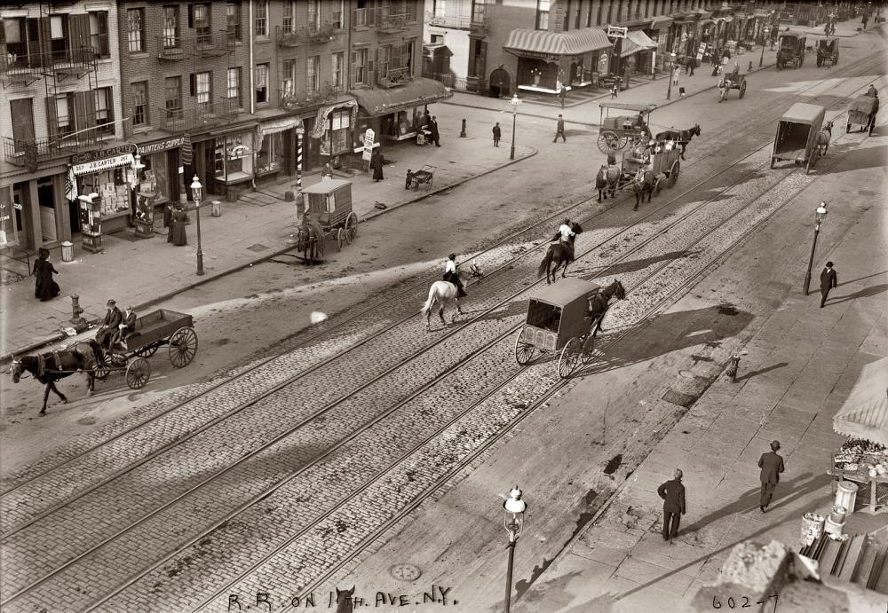
A typical street scene from a couple floors up, circa 1911, by the Bain New Service. While New York has long been the front-runner of the "new" and the "next," the early 20th Century found horses still common along its pavement (I actually think that the caption reads "R.R. on 10th Ave, N.Y." though Shorpy has it noted as 8th Ave).
August of 1915: Theodore Dreiser was living in a "nondescript brick tenement" at 165 West 10th Street: the Greenwich Village neighborhood of New York City. Biographer Richard Lingeman describes it as a plain, two-room affair, but one in which Dreiser held regular salons, and hosted other parties when he was in the mood.
That month he hosted a party in honor of author Edgar Lee Masters whose Spoon River Anthology "had become that rarity, a best-selling work of poetry." Illustrator Franklin Booth was also a guest. A friend and fellow native of Indiana, Booth suggested the idea of making a trip back to their "Hoosier State" by automobile; he had just bought one. Booth's stipulation: "If we ruin many tires, we split the cost." Dreiser agreed, and a few days later they set out.
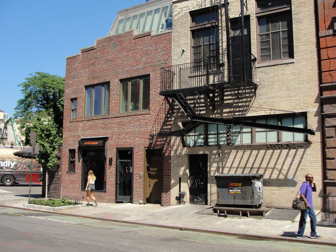
July of 2015: I went in search of 165 W. 10th, Greenwich Village, only to find that it had been replaced. In the photo above, the tan painted-building occupies that address, currently the back of a bar & grill that fronts on 7th Ave. 10th Street and 7th Ave intersect at an angle, allowing the construction to "wrap around" the smaller brick building that occupies the "point" of the block.
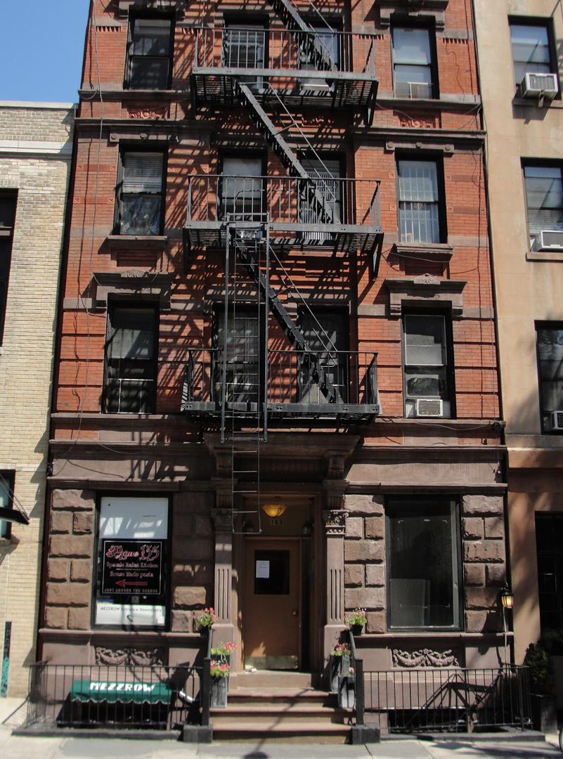
I had hoped to find an older residential building. Below left is 163 W 10th, which is probably more in keeping with the tenement type that Dreiser rented in. Below right, Dreiser in his apartment at No 165 (DWS).
.jpg?1541202814831)
The morning they began the trip, Dreiser wrote, he was introduced to a "Miss H_____," one of Booth's models; and to the man only ever referred to as "Speed," who would be their driver and mechanic. Miss H_____ was going along for the ride across Jersey, after which she was taking a train out of Delaware Water Gap; Speed would drive until they reached Carmel, Indiana, Booth's home town, and where his family still lived.
"Finally we were off -- up Eighth Avenue and across Fortysecond [sic] Street to the West Fortysecond Street Ferry, while we talked of non-skid chains and Silvertown tires and the durability of the machines -- this one in particular. It proved to be a handsome, sixty-horsepower Pathfinder, only recently purchased, very presentable and shiny."
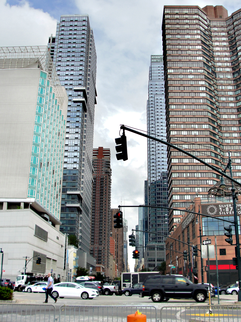
The foot of 42nd Street in 2015, looking back toward Times Square.
I would have gladly risked the traffic snarls and driven into Manhattan on this morning for the sake of taking a ferry back across to Jersey, if such boats still ran on the Hudson. Tunnel tolls? Pay parking? Ferry fares? What of them?! It would have been worth it to have begun the journey in a like manner. But between the tunnels and the bridges, and the end of major rail service into Manhattan, those car ferries have long since gone down to their doom -- broken up for scrap or derelicts sunk alongside deserted wharves. While my journey did begin with a ferry ride, it was only alongside fellow pedestrians.
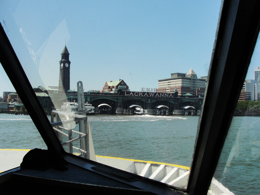
This Thursday morning, having checked out of my motor hotel, I drove up to Hoboken, recollecting that there were parking garages in the vicinity of the Erie-Lackawanna Terminal. As does happen on occasion, I had a "happy accident" in turning down a narrow lane to discover a basement garage close by. In the photo (right) it's under the tan- and russet-colored office block, to the left of the window frame. "This is great!" It was only a 5 minute walk to the pier! After finding West 10th and visiting the One World Observatory, I picked up NY Waterways at the Financial Center Pier for the return trip, collected my saloon, and pulled up on the street.
"Well -- here we go!" I said. I was actually -- finally! -- starting out on this thing! O.K. ! But go where?
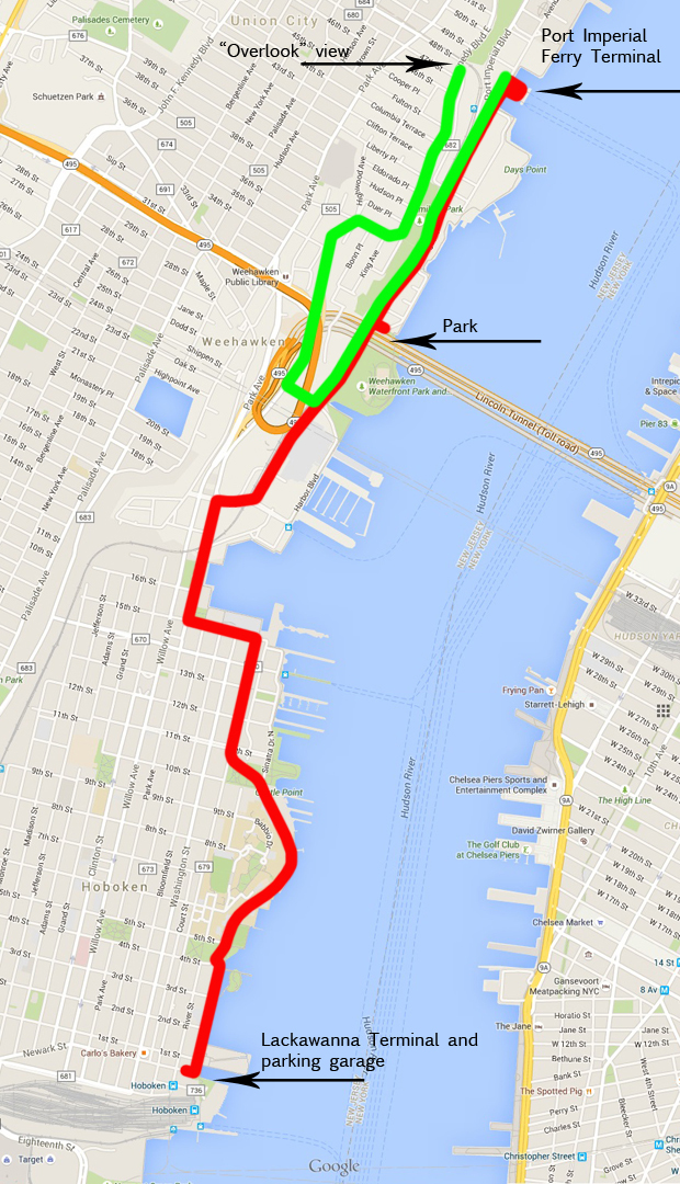
The map for the outset: from one terminal to another, then a climb up to look down on it all.
Considering that this stretch of the river was so heavily and regularly plied by several large ferry services, I thought that finding something so specific would garner a return. Alas, I had had no luck in my "search" (to use that word generously) for a 42nd Street Ferry, but looking for something relating to ferry service in Jersey yielded results.
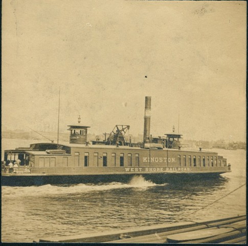
The Weehawken Time Machine was one in which I found the kind of imagery and information that I wanted, such as this picture of the Kingston, one of the ferries operated by the West Shore Railroad, a division of New York Central Lines. Dreiser & Co, at the outset of their journey, likely crossed the river on such a boat.
Before the bridges and tunnels allowed for auto traffic to pass over or under, and at a time when entire manifests of train cars were shuffled into Manhattan, these were the means by New York connected with everything "west of the Hudson." Yeah, I know, as if anything ever happened West of the Hudson that's worth noting --
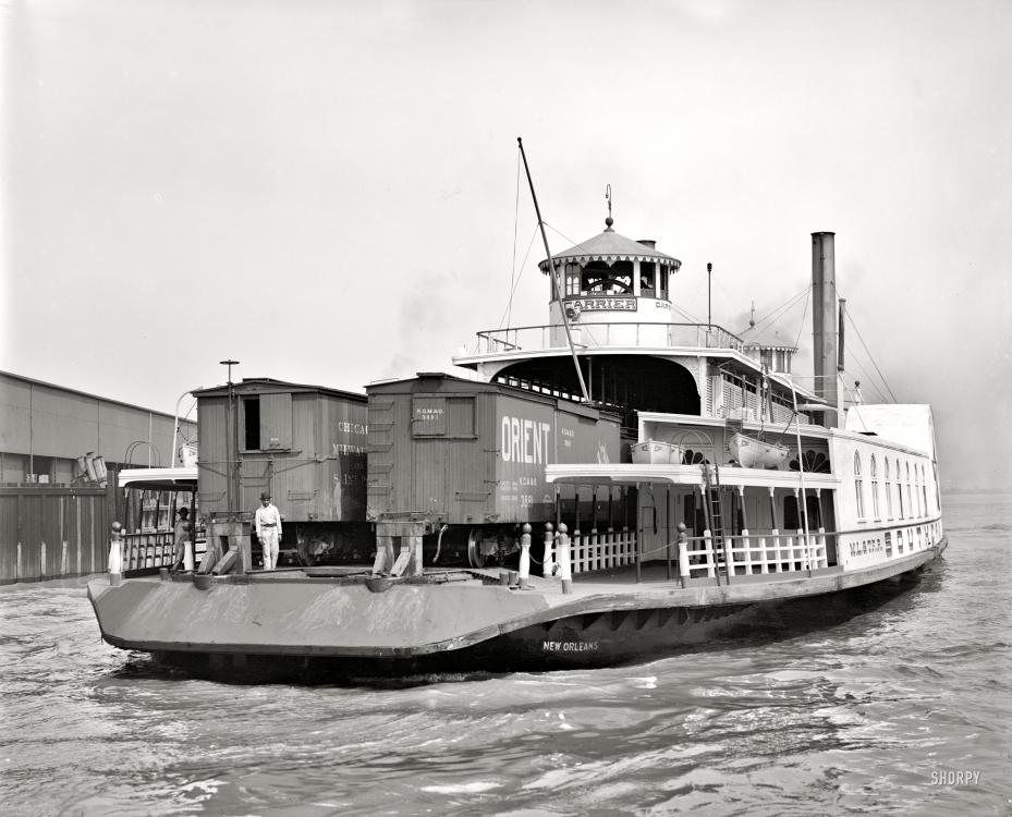
At right, the New Orleans, a Southern Pacific car ferry. There were larger "floats" on the Hudson, but this is a nice representation of the mode for transferring rail cars from one side to the other (Shorpy).
In the following post card images, (Time Machine) which are sadly undated, we have views from the river of the old car ferries as they ply their routes. On the left, the clothing is at least an indicator of age, as the woman mostly visible is attired in the height of fashion for the late 1800s. On the right is a scene of the dock at the West Shore's rail facility.
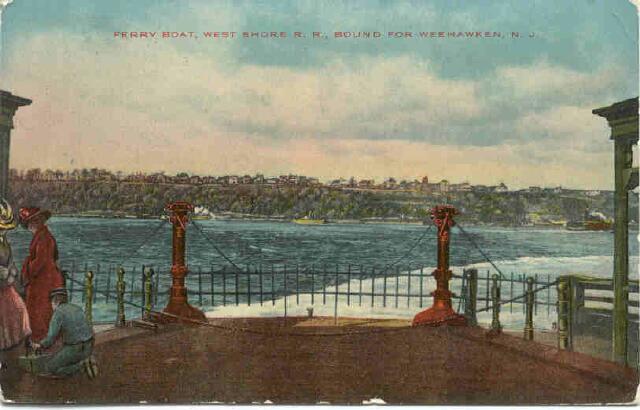
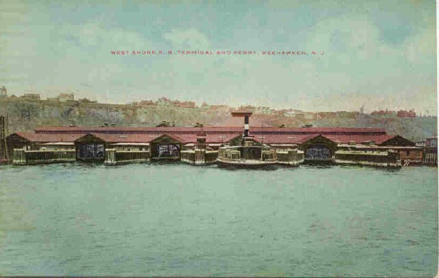
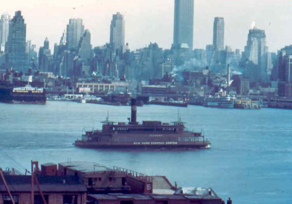
What I did not discover was the relationship of where that ferry dock was to what exists there now. The following photo, taken in the 1950s, does make for some reference, however. The World Ship Society has a page on their site concerning the last days of the North River ferries, which noted that in this image the New York Central's Niagara was on its way to the Weehawken terminal from Manhattan.
On the New York side can be seen (at left) Pier 84, and another ferry seen just above the Niagara (next to the funnel) at what I'm assuming is the 42nd St dock. The passing point of the ferry at mid-river leads me to believe that the photo was taken close to what is now the Weehawken Waterfront Park, which further has me thinking that the old ferry dock was, after all, at the location of the present day Port Imperial Ferry Terminal. Or at least very near-by.
From the pier, the Pathfinder and its passengers would have had to navigate out of what at that time could only be considered "industrial," and climb up from the Hudson River Valley to gain Weehawken proper.

In this photo (World Ship Soc) taken in 1938 can be seen a little bit of that Jersey-side waterfront. Well into the latter part of the 20th Century, the lands along both sides of the North River were covered with infrastructure dedicated to moving rail traffic over the water. The rising strip of pavement, making an "L" shape here starting at the bridge, was probably the road Dreiser & Co ran up to go West. Note, too the trolley and car passing on the bridge.
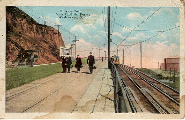
In this post card can be seen that same road and the adjacent trolley line from farther up the grade. Looking at this again, I have just now noted that there are City Steps (as they are called in Pittsburgh) climbing the tumbled face of the palisade to the left. Though undated, the clothing again puts this image at least a decade earlier in time than the photo above.
Compare those with the photos below, from 2015.
Turning out of the parking garage, I made my way North along the waterfront, and as I've done before, marveled at the changes wrought along the river in the last couple of decades. The rail roads and their transit infrastructure have gone, like their car ferries; in their stead are residential blocks, making the most of the "river front," or at least being near the water.
At left is part of the seemingly ever-on-going construction at the North end of Hoboken, which has been evident every time I've driven through for the past few years.
At right is approaching the commercial in-fill of the now-named Lincoln Harbor area. Retail and office buildings galore!
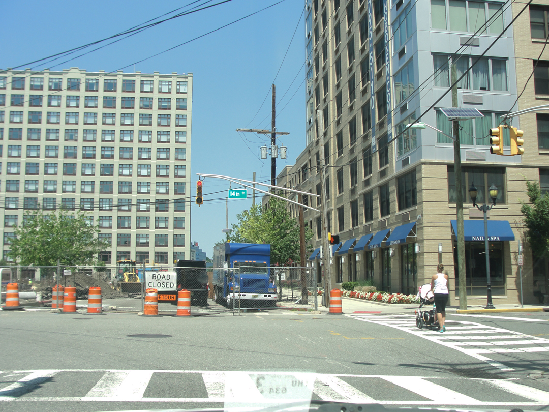
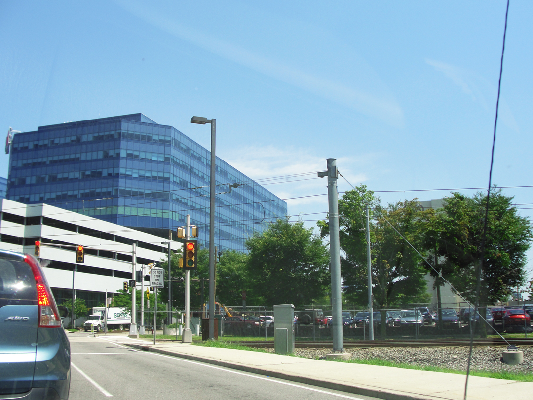
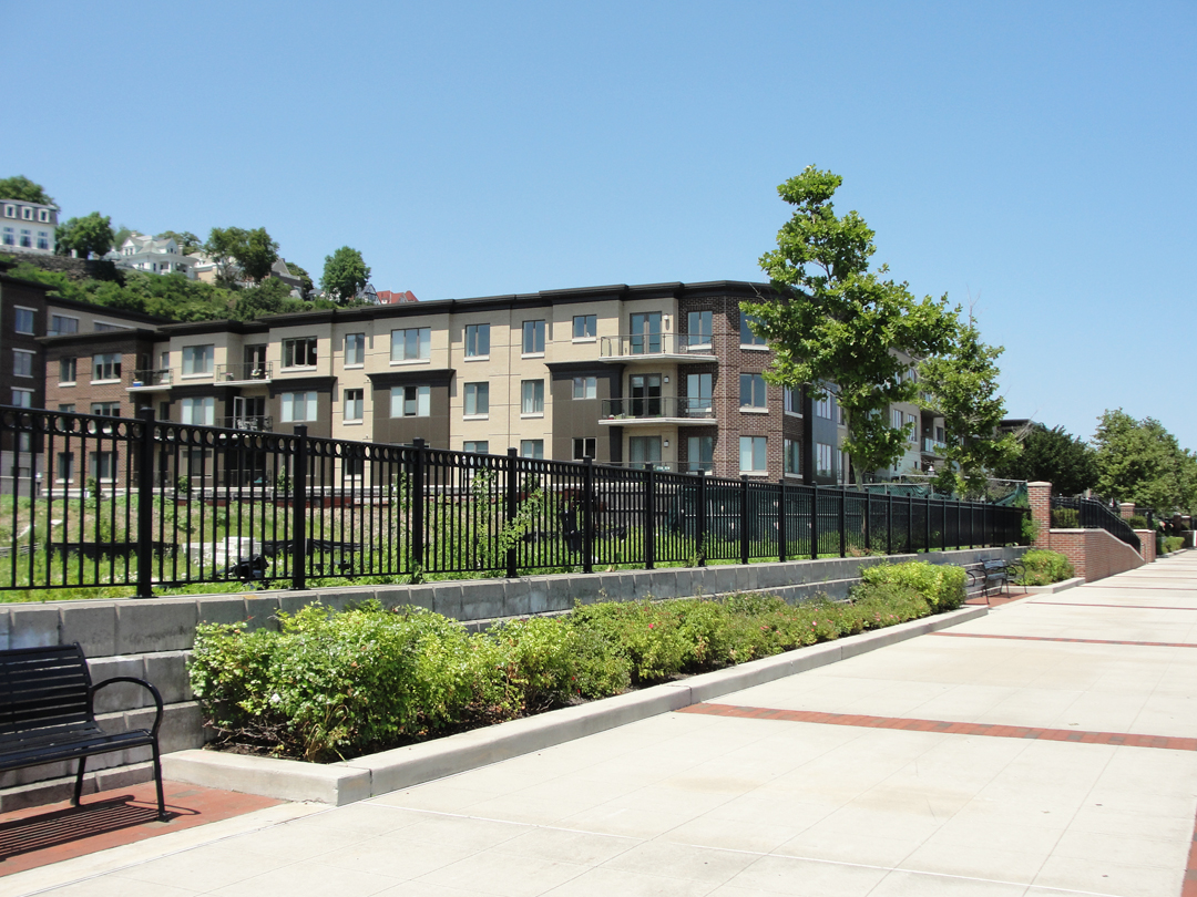
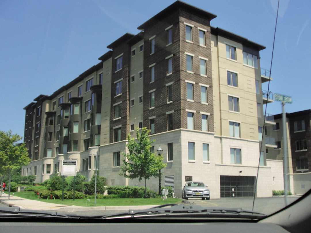
Above left: High Rise with Beemer. At right, the lower-rise apartments across from 42nd Street, as noted in the previous chapter.
Those lower-rise dwellings are near the Weehawken Waterfront Park. I noticed, when my saloon was brought 'round in the garage, that I had a break lamp out. When I saw the park I whipped into the lot to effect repairs, as I recalled that I had a spare lamp in the glove box. Compared to the time one might spend fixing your new-fangled automobile in 1915, the time I spent was paltry; still, it seemed kinda' apropos for the trip.
Below is the view looking up the road toward the Port Imperial area, showing well, I think, how the area has changed. There are here, as will be seen all along the route, many more trees than there were for much of the last hundred, even two hundred, years. Some of the old rail road right-of-way still exists, though; at left, just below the again-wooded hillside are the twin tracks of the Hudson-Bergen Light Rail System.


Above: the new Port Imperial Ferry Terminal - a bright and shiny example of today's transit constructs.
This was the first real "point of interest" on the drive. Having gone past, and wondering at, the recently added apartments and condominiums of the reconfigured river frontage, I made a loop around the terminal complex. Seeing it, I was a little sad that my trans-Hudson ferry trip from 39th Street had been to Lincoln Harbor instead of Port Imperial. Oh, well! So it goes.
Goggling at the "new," and staying in my lane on the street, I totally missed turning to off to that bridge and rising road to reach the heights over the river. Instead, I turned right to go under the Helix approach to the Lincoln Tunnel, and wound up and around until I arrived at a street between the palisade and Weehawken's river view neighborhoods.

Here, the "view," across the Hudson to Manhattan's West Side, and down on the Port Imperial area. The Ferry Terminal shows just above the trees, left of center.
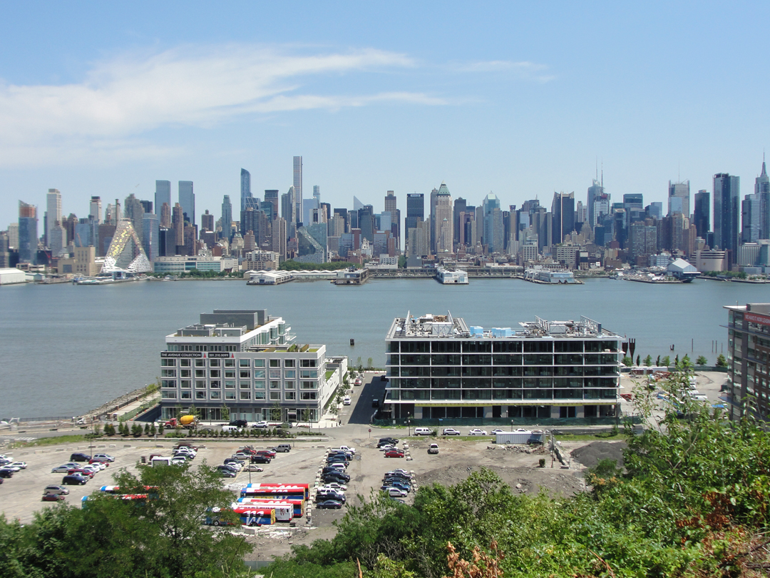
Just a bit down river from the Terminal, these new buildings and likely "new land." As with the New York waterfront being re-made with massive amounts of "fill" over the last couple of centuries, so here are some straight lines and angles that the river would certainly not have created on its own.
After driving up into Weehawken from the river valley, Dreiser wrote that "...we hunted for a road across the meadows [getting] lost in a maze of shabby streets where dirty children were playing in the dust [picking] our way over rough cobbles..." What is not obvious on a map is that municipalities like Jersey City, Weehawken, and West New York, sit in the main, or in part, on a ridge well above the Hudson River. As is clear in these photographs, these heights grant a great view, and for a very long time, that view has been good for real estate prices. Heading West from here, the conditions slowly but surely decline, as does the slope of the ridge as it droops toward the Hackensack River and the Meadowlands.
The streets are perhaps not as shabby, and the cobbles mostly gone, but driving inland from above Port Imperial the changes in values and economic status are just as clear.
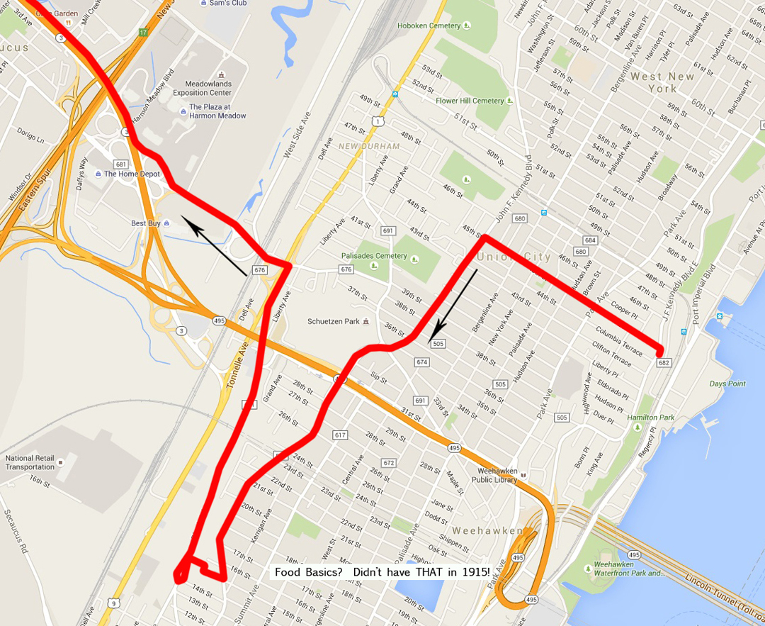
Palisades to Meadowlands: from my vantage on John F. Kennedy Boulevard East to John F. Kennedy Boulevard, looking for the Paterson Plank Road.
Looking at my maps, and reading Dreiser's listing of the towns that the Pathfinder went through, it seemed to me that the logical street to take away from the Hudson to points West in New Jersey was the Paterson Plank Road. I had an idea where it was, and made my way through the dense urban environment and its traffic to find it.
But I took this shot of the river view buildings before I turned away.
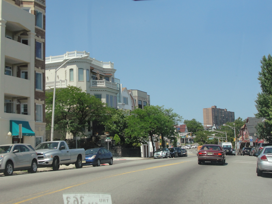
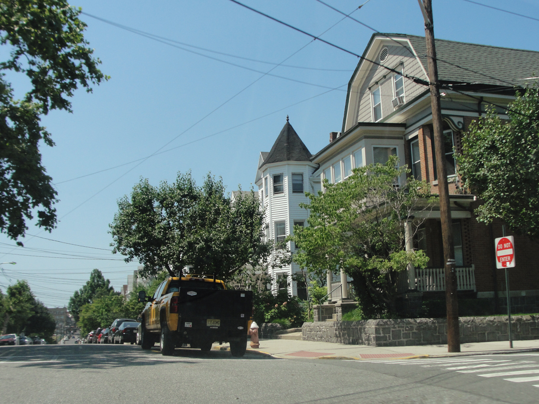
Immediately after the turn, the neighborhood that is probably a little less expensive, as it is only near the palisade. Nice, but sorry, there's no "view" here.
At the intersection of Park and -- what street am I on, anyway? Oh! Fulton -- the changes in class are becoming obvious.
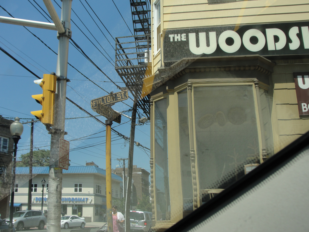
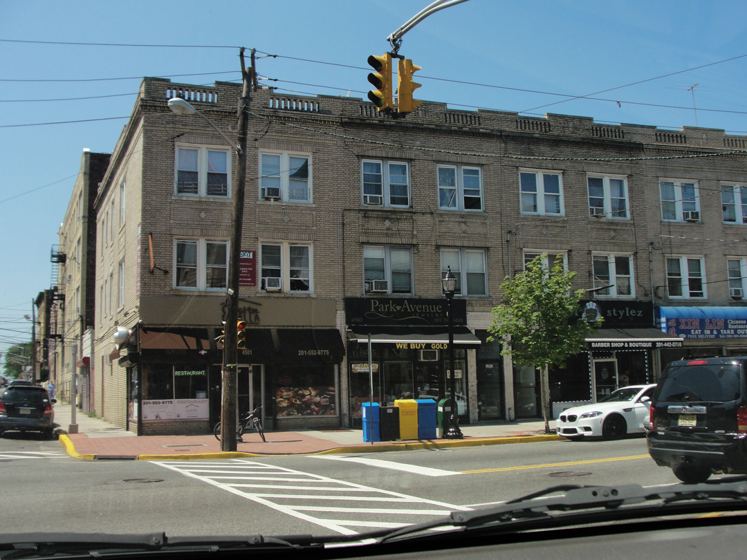
Below, left and right, along Kennedy Boulevard. JFK demonstrates the cultural and ethnic mixtures that get pressed together in many urban environments, mingling local shop owners, as well as the nearly omni-present national chains. Nearly everywhere I went there was at least a Walgreens or a CVS; sometimes both; sometimes right across the street from each other. When I saw a Rite-Aid, I think it was in Ohio, it actually drew a remark at seeing a different store.
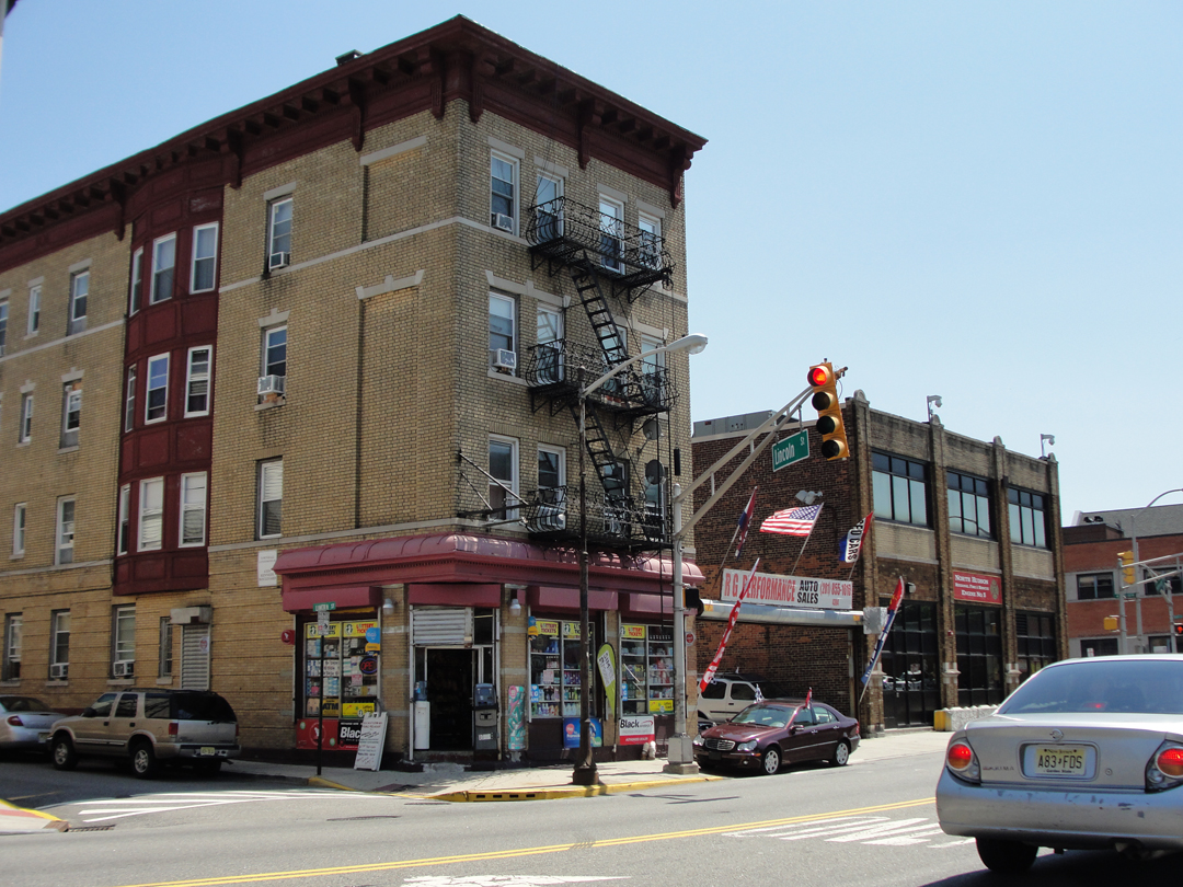

Somewhere along Kennedy, I stopped at a Dunkin' Donuts (y'know: Donuts!) and had a look at my map. Seeing that Paterson Plank could be had by making a right down 14th Street, I went looking for that. But I turned too soon, and discovered that 15th St became a parking lot -- for Food Basics. "Huh, didn't have that in 1915!" I said. I noticed then that there was an alleyway down to the right, and figured "Why not?" Down I went.
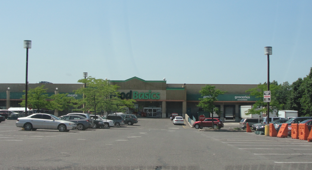
My thought was that behind the Food Basics, I could resume my search for the Plank road. As would happen again -- a few times -- I turned left instead of right. What did I know? A block up I saw that I was at the intersection of 14th St and Paterson Plank, so I snapped a "U-turn" -- as I would do a few times -- and again had a moment of thinking that I was actually doing this trip. Only now it was tinged with melancholy: before the day was out, Manhattan and the New Jersey I knew would be behind me. There was at this point only going forward, going on West.
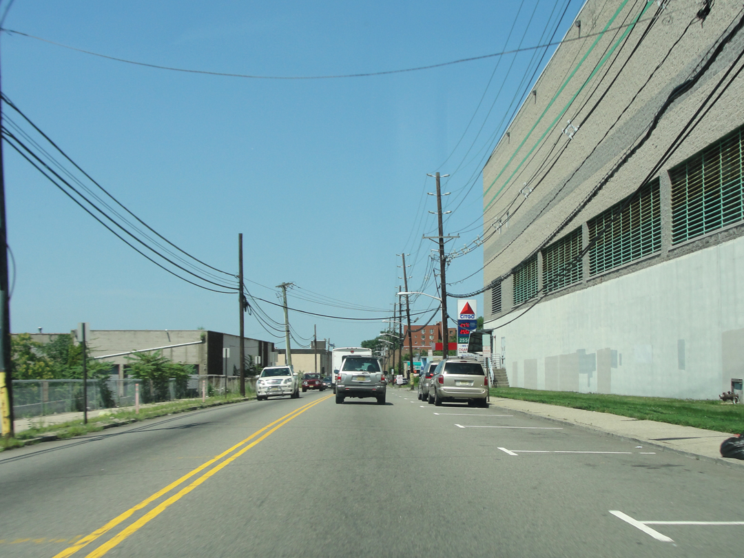
Down the Paterson Plank Road. Not dusty and cobblestoned, but on this "back side" of the ridge, the cities are much more given over to the industrial, a condition that prevails across much of New Jersey's Meadowlands.

The strange mixture of use: above is the view from the Plank just before going under the NJ Hwy 495 elevated road that connects to the Lincoln Tunnel (that dark diagonal thing to the right). In the middle distance is one of the uncounted car parks that sit near the uncounted commercial buildings that dot the landscape. Out near the horizon, the two tall buildings are the high-rise residential towers of Harmon Cove, one of the earlier redevelopments undertaken to get people to live out this way. In the last decade or so, quite a number of apartment or condo developments have gone into the Meadowlands, reclaiming what had been industrial "brown fields."

For all the development through here, the rivers are still barriers to through-traffic: bridges are expensive! So while the Plank Road, the old Plank Road, still continues nearly to the banks of the Hackensack, the way across is with NJ Hwy 3 and the Zoned Commercial area that ranges alongside.
"Now, for instance, we were coming out on a wide, smooth macadam road, which led, without a break...into Passaic and then into Patterson."
Below, a view of the Hackensack toward where I'm sure another ferry once ran, though it's not mentioned. On both sides of the river, the Plank Road ends near the water's edge; on the West or Carlstadt side (to the left), it would have terminated almost dead center of this image (the two white storage tanks are actually some little distance on up river). And again with the new apartments!

"Now we were following the Hackensack and the Passaic in spots, seeing long, low brick sheds in the former set down in wind rhythmed marsh grass, and on the latter towering stacks and also simple clubs where canoes were to be seen...and a kind of August summer life prevailing for those who could not go further. I was becoming enamored of our American country life once more."
Today there can still be found in some places canoes, kayaks and eco-tours along these rivers.
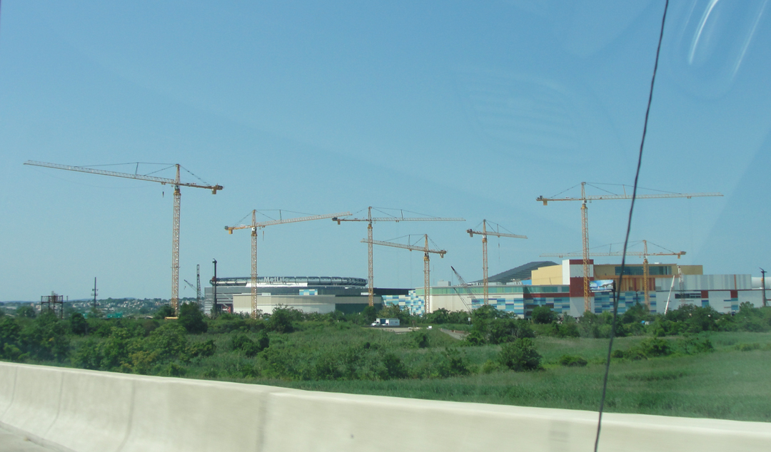
What do you do with a whole lot of mostly flat and mostly unoccupied land? Put in a sports complex of course! Sports and touristy destinations -- or touristy wanna'-be destinations. Above can be seen the on-going construction around what is now being called the "American Dream Meadowlands," a retail entertainment installation, and the Izod Center, while below is the MetLife Arena at the Meadowlands Sports Complex. Oh, Meadowlands, we hardly know ye!
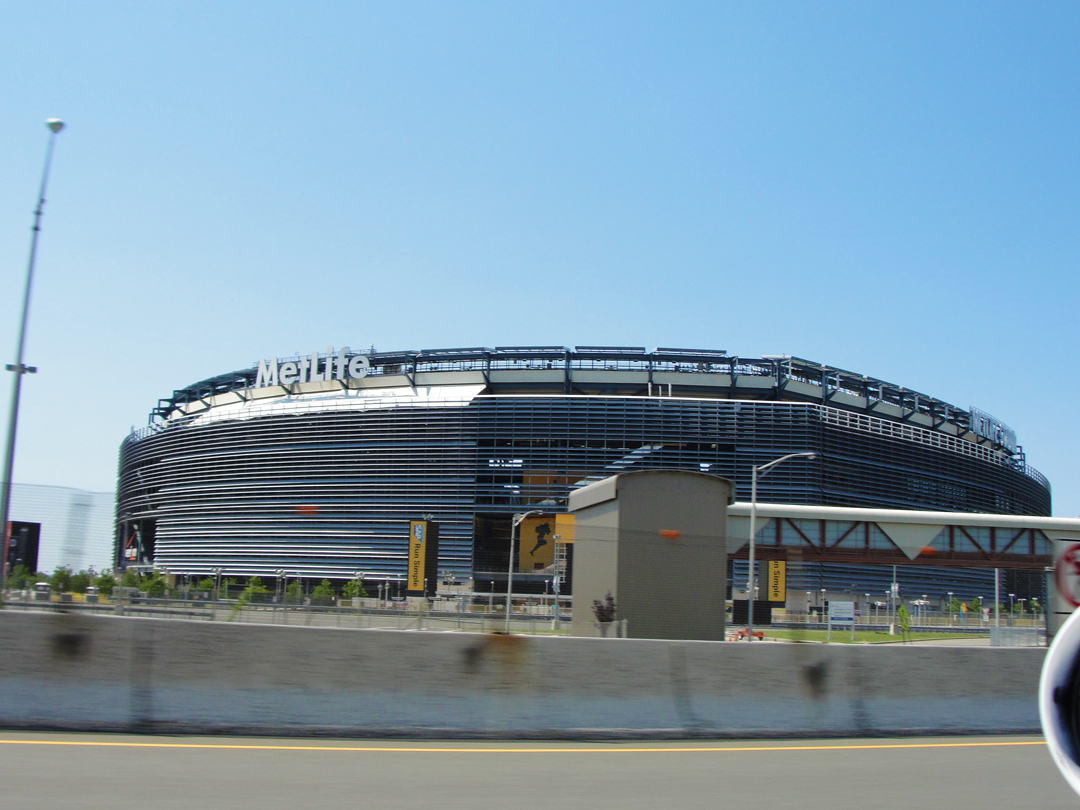
Home to the New York Mets and Giants, New Jersey Transit runs special trains and buses on game days to help handle the fan traffic in and out of the MetLife.
Yeah, the New York Mets and Giants play in Jersey; "...it's all New York..." remember?
I've wondered what Dreiser would think of this, and I think now that he would, after all, be appalled -- appalled that so many people would spend so much money to sit and watch a game that has become so corporate. I don't think he would have had a problem with enjoying sports, generally, but that sports have become "Sports!" with all their attendant media programming and so much revenue changing hands he would likely have become red-faced and given a spout of invective had you asked him about it.
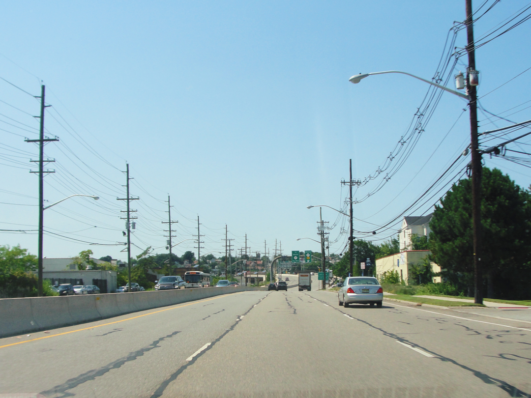
After passing around the Sports Zone, Paterson Plank runs along NJ 120 up through the Rutherfords, and uphill towards Passaic.
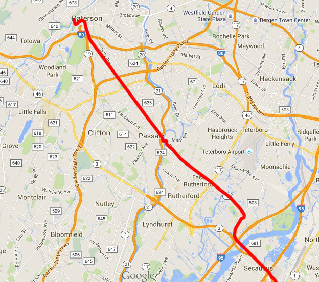
Note the little zig-zag in the middle of this map: there, the road, now designated the more ordinary Paterson Ave, intersects with Main Ave. A left turn, and a bridge over the Passaic River, puts the driver at the foot of the Mains leading through Passaic and into Paterson.
First, though, one must negotiate the intersection of Main Ave with NJ 21, which has quite a few ramps leading to different lanes and on this day also had "orange cones:" road construction. This junction I negotiated twice, making a loop before I got back on Main heading the correct direction.

At the intersection of Paterson and Main: the now ubiquitous gas station. There may be a very few places left way out West where you'll see a sign claiming "Last Gas For _____ Miles," but pretty much anywhere else you would be hard pressed to run out of fuel, provided you were paying attention anyway.
New Jersey is now the last state to have completely full service gasoline. Oregon, the only other hold-out against "self serve" passed legislation this year that would allow for drivers to pump their own in rural areas, taking effect in 2016.
Driving into or out of Jersey I always had a moment of "OH I don't pump my gas here!" or "OH I gotta' pump my own gas now!" for which-ever way I was traveling.
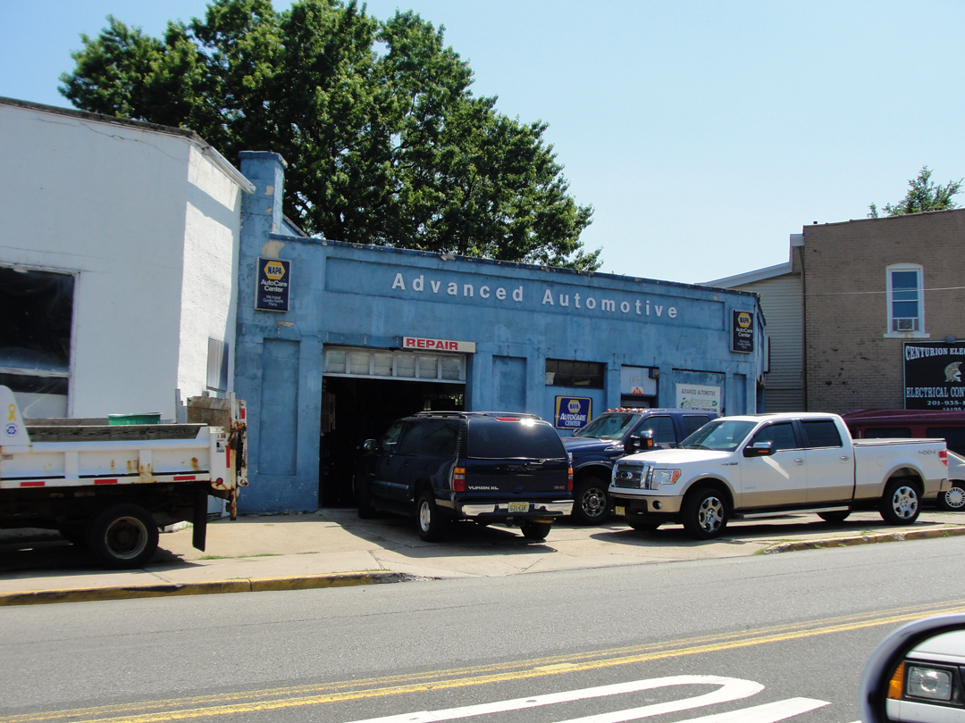
As well as the gas station (remember when the guy -- it was almost always a guy -- wore a uniform to pump your gas and asked if you wanted the oil checked and gave you green or blue chip stamps when you paid?) the other ubiquitous automotive essential: the auto repair ship. Even in some of the smallest towns I drove through an auto shop was there with a few cars on the lot. The last hundred years of auto-centric construction and propaganda has established an amazing amount of related business.
After a few blocks along Main Ave in Passaic that were low-slung and dotted with trees and even a bistro with sidewalk cafe tables, I arrived at Main Ave which was once, and to some extent still is, the commercial strip:
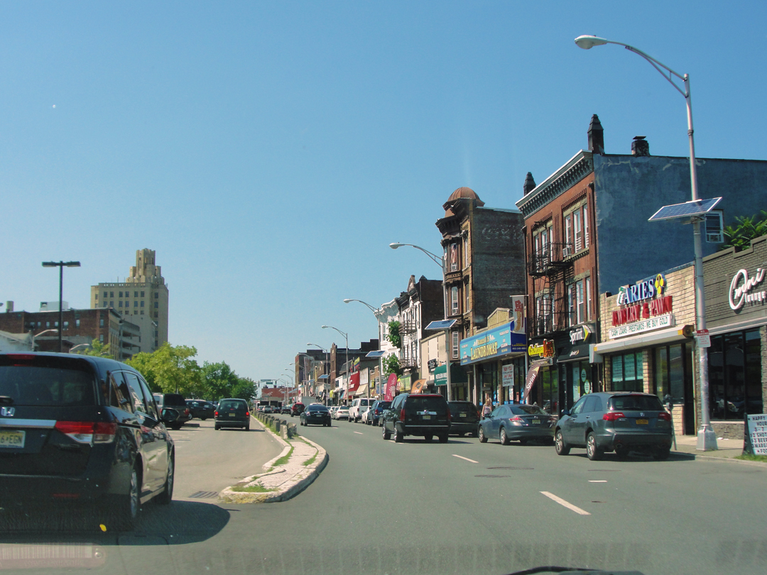
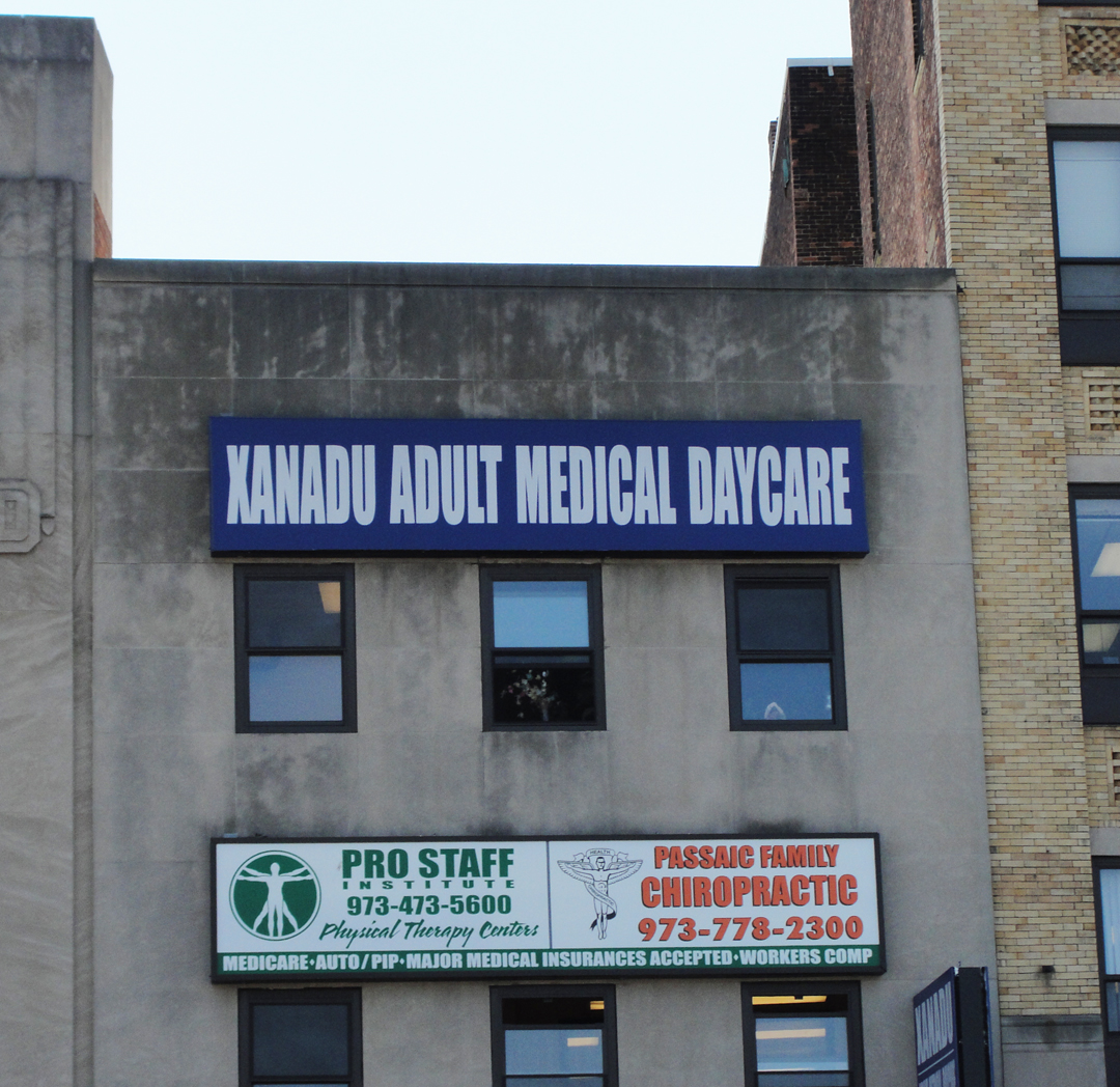
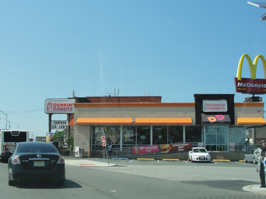
Open 24 Hours! And here it looks like Dunkin' Donuts and McDonald's have joined commercial forces.
That's a frightening thought.
What would that company be? "McDunkin?" "McDonuts?" "Dunkin' Donalds?" "Micky D's" would actually be even more appropriate!
"McDunkin Donald's Donuts!"

The vehicle in front of me here was what I soon dubbed the "slowest bus in the world" and I was behind it for quite some time.
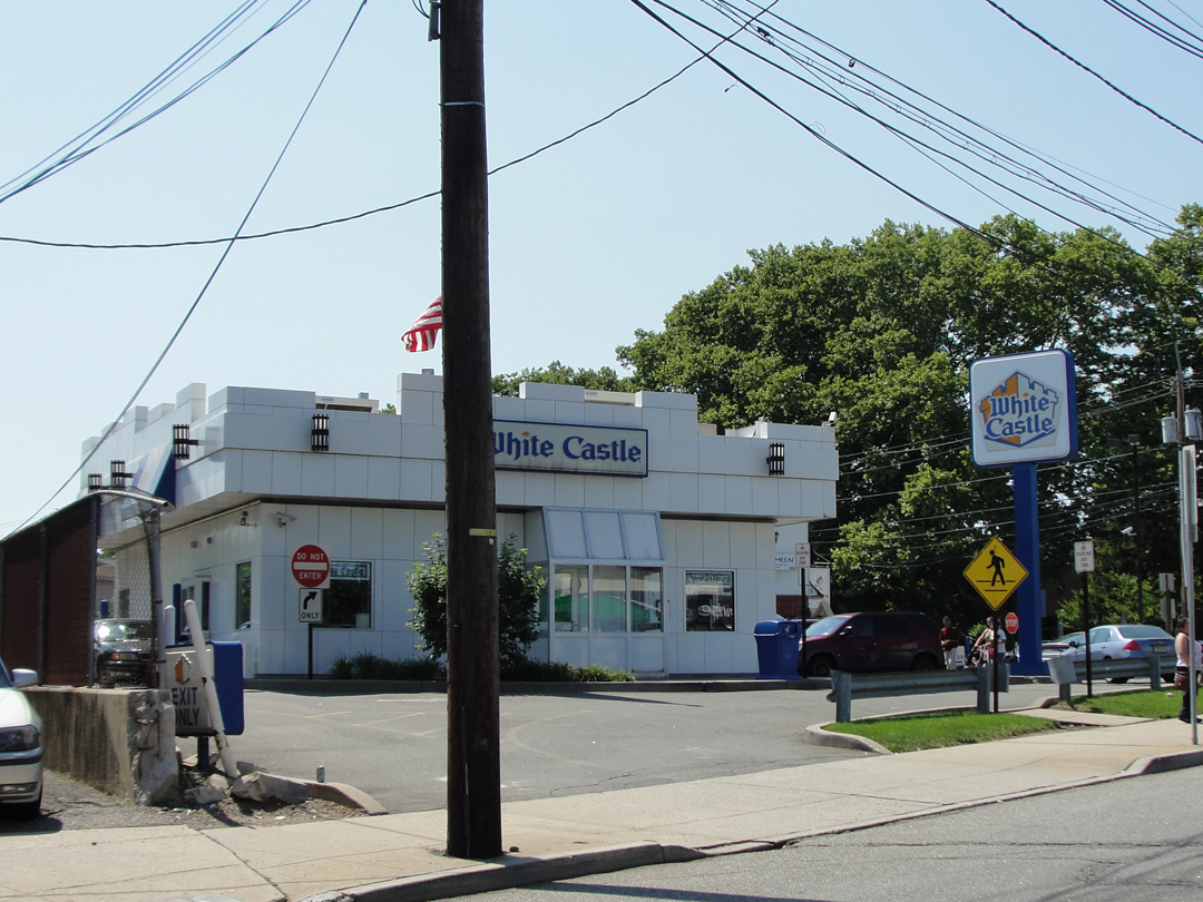
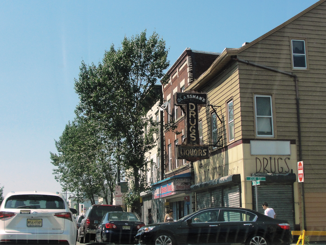
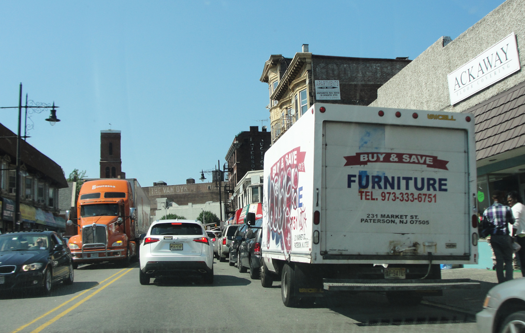
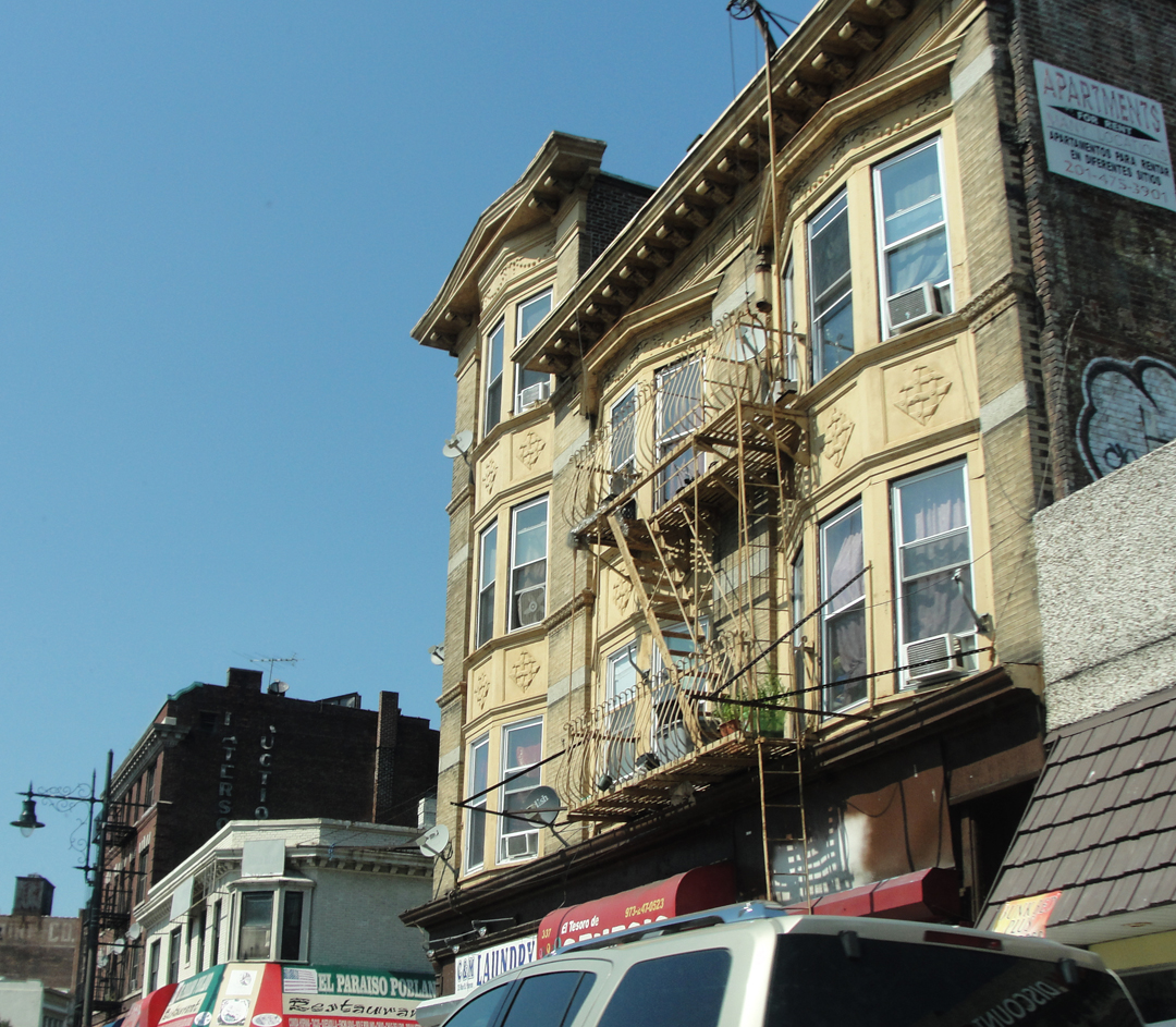
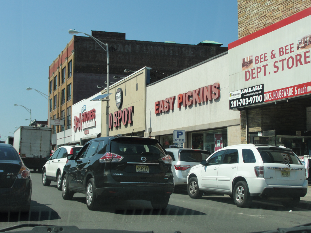
Above and right: nearing Paterson Center
"Paterson, to most New Yorkers, and for that matter to most Americans, may be an old story. To me it is one of the most interesting pools of life I know. There is nothing in Paterson, most people will tell you, save silk mills and five-and-ten-cent stores. It is true. Yet to me it is a beautiful city i the creative sense -- a place in which to stage a great novel."

Paterson: a panoramic photograph from 1913 (LOC).
I'll admit to being ignorant of much Paterson's history, but as it happens, it was once the "Lyon of America", the "Silk Capitol of the World." While it began like many other textile towns, as the cotton business moved to other places in New England or to The South, the mill operators switched to the silk trade, and at one time Paterson handled more silk than any other textile center. It's mill workers were also at the forefront of the union movement, and their strikes models for other strikes across the country whether successful or not. Dreiser was, in thought and word, of a mind with the working man against the mill owners, and while he is not explicit about this in ...Holiday, he does take a few paragraphs on the subject of the mill strike of 1913, and segues into a not-uncommon philosophical questioning of the meaning of life.
Below: turning away from Main Street, and passing through some of the still extant
mill buildings in Paterson.

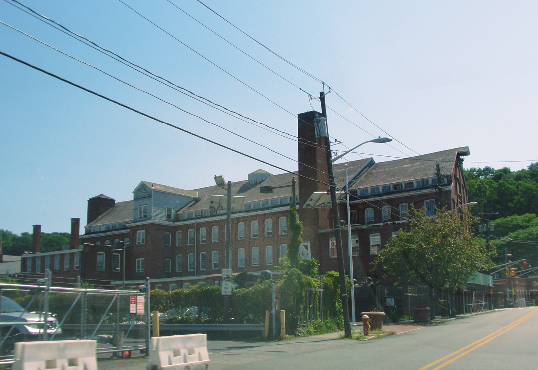
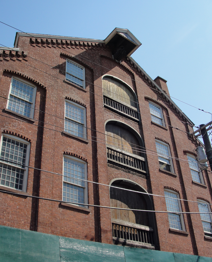
It seems a bit ironic to me that the mills have, in some instances, been converted to loft apartments. While converting them to multi-use spaces is one thing, that they would become middle-class residences is kinda' weird. Those who can afford the lease would be much more on par with those who were upper management in these mills, and now they want to move in? Set up a home?

Do you prefer silk, or cotton?
Addie Card, a 12 year old worker at the North Pownal Cotton Mill, in Vermont, circa 1910. It was pretty common for children to work in mills; they were more pliant as employees, and their smaller stature and hands meant they could reach inside machines more readily than their adult counterparts. By Lewis Wickes Hines (Shorpy).
"These mills -- have you ever seen them? They line the Passaic river and various smooth canals that branch out from it. It was no doubt the well-known waterfall and rapids of this river that originally drew manufacturers to Paterson, supplied the first mills with water, and gave the city its start...From the mills themselves...came the crash of shuttles and the thrum of spindles, where thousands of workers were immured, weaving the silk which probably they might never wear."
Indeed Dreiser was correct stating that the Great Falls of the Passaic inspired some of the earliest industrialization in the United States. No less than Alexander Hamilton, along with some like-minded entrepreneurs, established here the mechanisms to harness water and tax structures to make a major mill town possible.
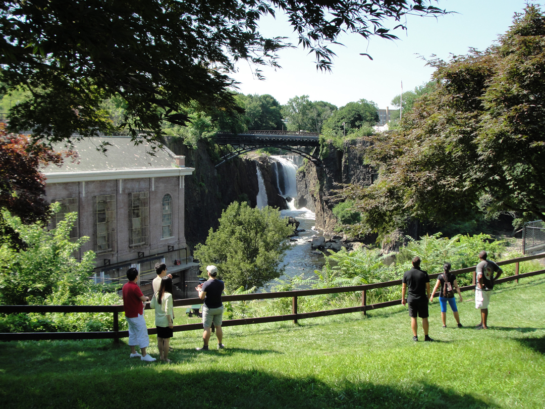
"The ground around the falls had been parked, and standing on a new bridge one could look down into a great round, grey-black pit or cup, into which tumbled the water of the sturdy little river above."
Then, the park was probably of the amusement type, sitting on the high ground above the falls. On the river below the falls, near the power plant (the grey stone building to the left, in the photo above) were floating platforms that sectioned off the water into "swimming pools." These were also common on the Hudson and East Rivers for a time in the late 1800s and early 1900s, as cheaper alternatives to building permanent in-ground structures. At least until Robert Moses came along, but that is so another story!
The site has been since 2009 under the control of the National Park Service as the Paterson Great Falls Unit. A Service ranger (Mike? I think? Sorry, I didn't write his name down!) told me that parents could tell what mills were doing what kind of work by the colors their children wore when they came home. Dye-stuffs dumped in the river gave the kids a "dip job!"

The Great Falls Power Plant, still owned by Paterson Utilities, has a sign announcing that it is being PRESERVED with funding coming from various state historic preservation groups.
To paraphrase Miller, the view from the bridge:
The land about the Falls has recently been parked, or perhaps "re-parked," as the Park Service and the City of Paterson invested in improving the grounds and walkways to allow for better use of the space as a public environment, and so that visitors don't have 5 foot-high iron fencing between them and the view.
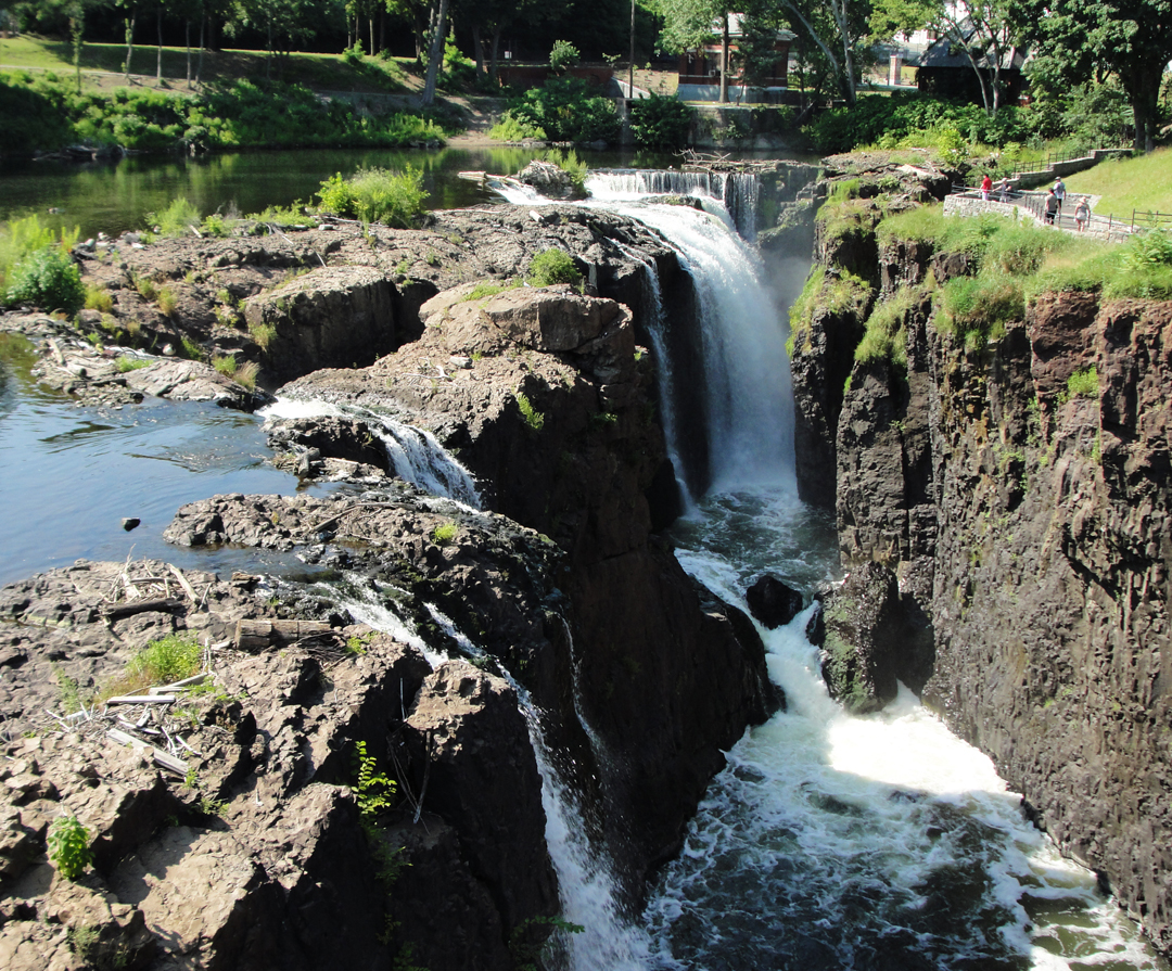
"I am convinced that man in toto-- the race itself-- is nothing more nor less as yet than an embryo in the womb of something which we cannot see. We are to be protected (as a race) and born into something (some state) which we cannot as yet understand or even feel...good or bad, here it is, struggling to make itself manifest, and we are of it!"
Of course, the philosophizing came later; at this point, in both of our trips, we needed to get beyond Paterson. Dreiser's list of towns passed through includes Little Falls, Singac, "...and other small towns...skirting the banks of the Passaic River."
"Beyond Paterson we found a rather good road to a place called Boonton..." and I wonder how much of their choosing was based on the condition of the thing. There was probably only one decent road through the hills to the West of Paterson, which would have led the Pathfinder between city centers for the most part. Today, however, the majority of the streets in Jersey have been improved to more or less the same condition - which is usually pretty good - and many have been given state or county highway numbers. So - which to choose? Only a few, thankfully, out of a plethora of possible ways, that followed along the river.
Even so, keeping up with name changes between municipalities, and watching the traffic, and looking for photo opportunities can be trying. Still, I managed to mostly get along fairly close, I think, to their route. In the map below, there is to the right a little stub of "whoops! wrong road!" because, not for the last time, the way I wanted made a right turn, and I just kept going, thinking "Well, that was my turn back there." The second "Whoops!" toward the middle-top of the map was the same - excepting that it was a left I should have made.

Some typical Jersey 'burbs, below, along McBride Ave.
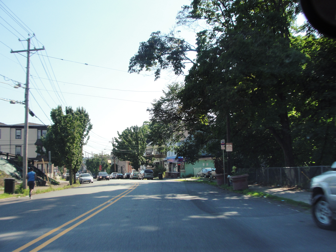
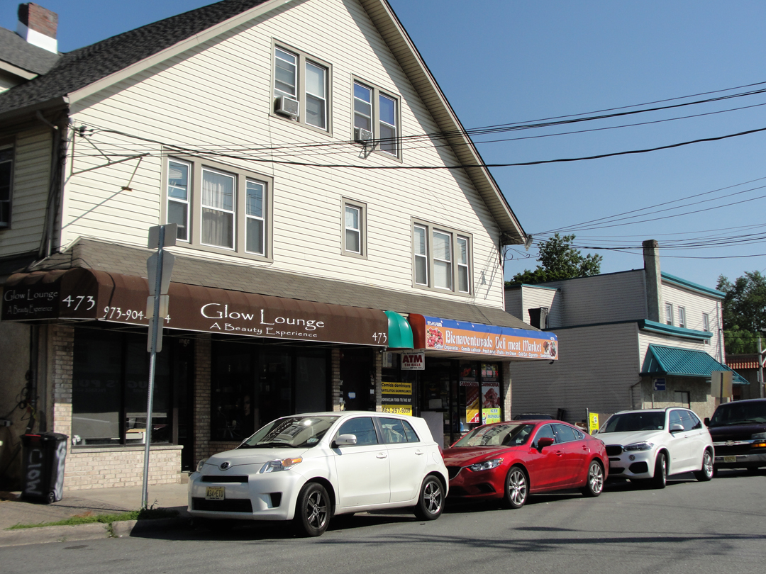

Woo-hoo! Little Falls!
On the edge of Little Falls I noticed a sign for a Morris Canal Park, and turned 'round to go see about it. The old canal figures into the trip, too, but more on that later.
What I found was plenty of car park behind some business buildings, but if there was access to the canal or any "greenway" I could not find it, so on I went.
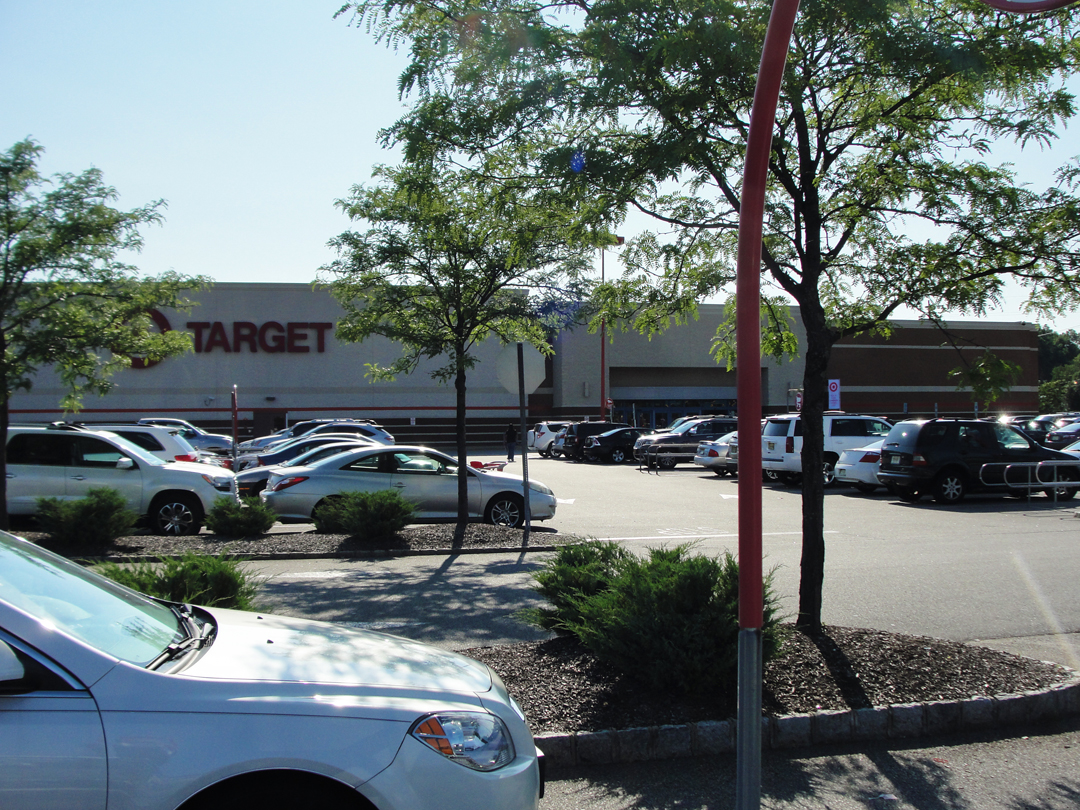
County routes 639, to 631, to 615 finally led me through Singac and I stopped at a Target (y'know, because Target!) 'cause they carry things like drinks and snacks, and they have washrooms. I also took advantage of the halt to consult with the map before going on. From here, I've noticed, I actually strayed away from the Passaic, electing at the time to cut through a swath of conservation land -- the Great Piece Meadows, which were not my idea of "meadow" but whatever -- before turning up toward Boonton.
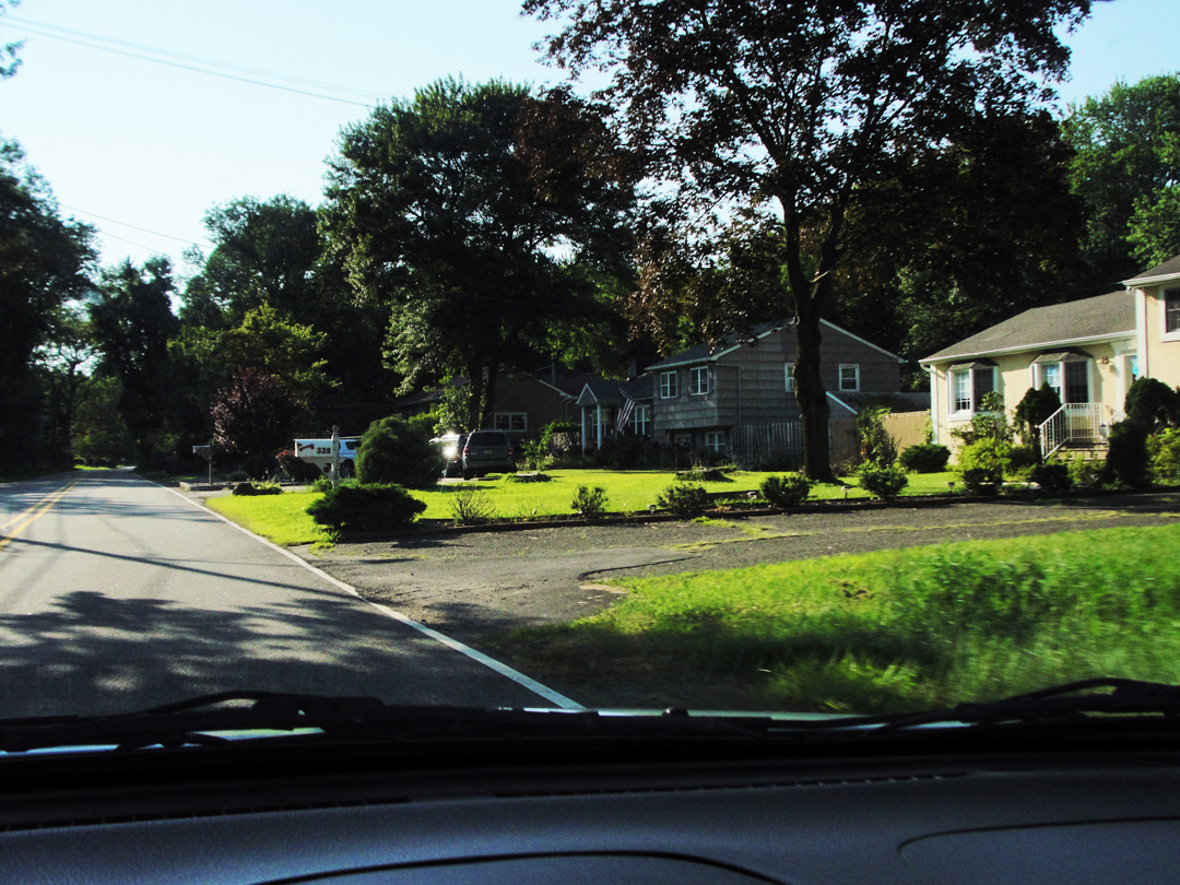
In the vicinity of the Great Piece: what I have come to think of as "rurban" New Jersey. Not quite the suburbs, not really rural, too sparsely built up to be the "ex-urbs," and a home-owner will have to drive a distance to reach a market of most any kind. Almost every paved road is lined with houses, some ranch-style, some the larger "McMansions," and in places with cross-roads similarly lined. But behind these are conservation lands, water utility reservations, or just territory hemmed in and left behind.
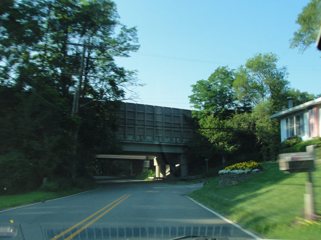
Then, having successfully navigated nearly to Boonton, for which feat I was feeling pretty good about, I watched an SUV make a left while I kept on going. When I saw this highway overpass (turns out it's I-287) I thought: "Well, that's not good."
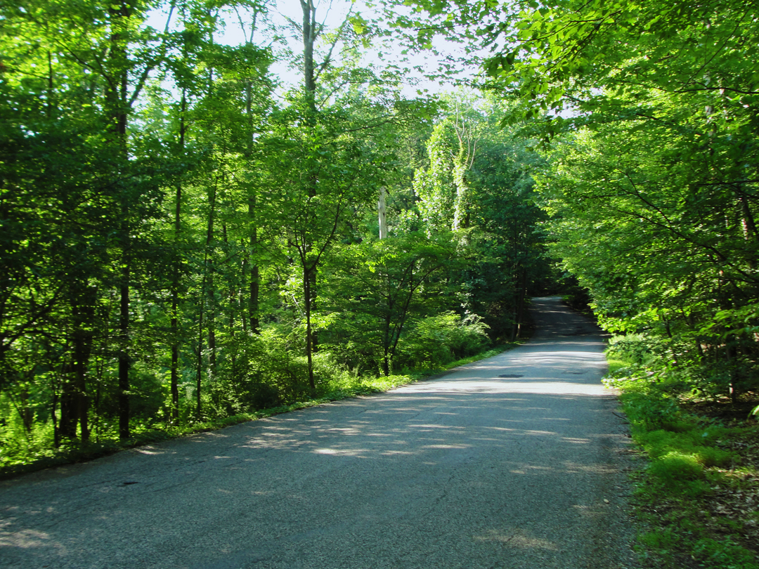
Stoneybrook Road? Maybe? Pretty, anyway. As noted elsewhere, there are a lot of trees through Jersey now, but the majority are young; some of these are probably younger than I am. But the relatively recent re-forestation of Jersey is good, I believe, and the narrow, newer trees really set off the big, old trees when you can find them.
This was as much of the wrong road as I was willing to take, so I maneuvered the car about and retraced my way.
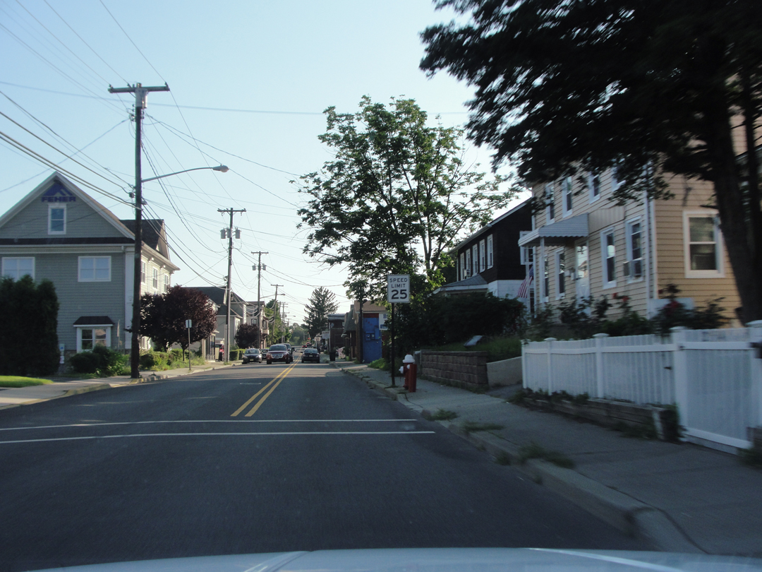
Coming into Boonton, or Boonton Town, which is different from Booneton Towne or village . And anyway, Booneton Towne, what remains of it, sits at the bottom of a man-made lake.
In the late 1700s, Booneton Towne was set up along the Rockaway River, but the people and the money moved uphill during the mid-1800s with industrialization. The village was slowly depopulated, and the final "nail" came in the early 1900s when Jersey City bought the lands, and dammed the river to create a source of drinking water. Since 1904, the reservoir and the Town have remained.
After Boonton was the next question. Dover was Dreiser's next town, but again - which way? Not so much that there were too many choices, but that many simply went so far one way or another in a direction that did not get me to Dover. Making a choice, I lit out and made a turn to find myself on the entrance ramp to I-287, the almost-ring road that encompasses so much of this area. Where's the next "off" ramp? A few miles South was the exit to US 46, which I knew went to Denville and Dover, and at this point fell into the category of "well, why not?" What-ever road Dreiser & Co took, from what I could see on the map, 46 would be pretty close to the same. Maybe even the same. Only it's much wider now. Much.
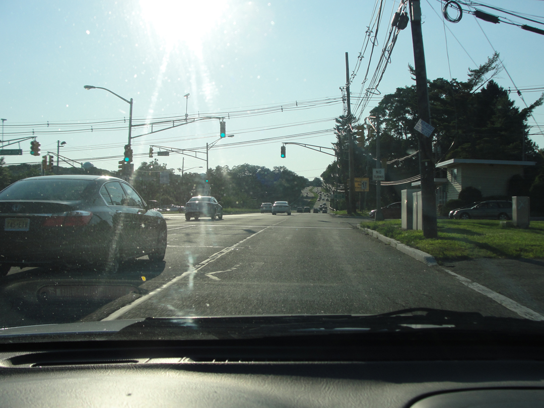
Scenes along US Hwy 46, including the retail corner near Denville in the image below right. I guess I was more aware of them on this drive, because I really noticed that there is almost no getting away from retail corner like this. Not just Zoned Commercial, as in the image below left, but Retail Corners with the same national chains sitting in similarly styled "strip" malls -- no, really, they are EVERYWHERE.
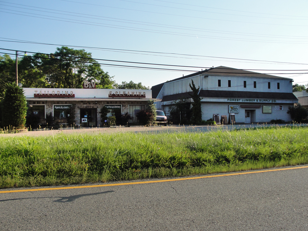
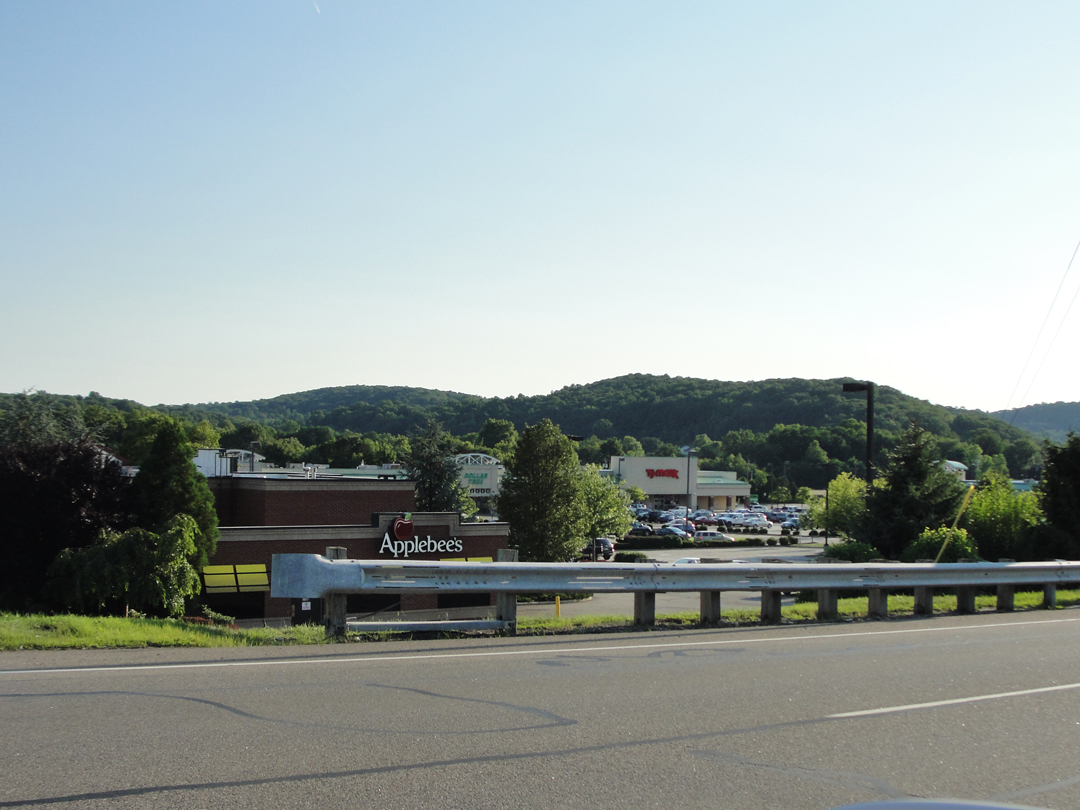
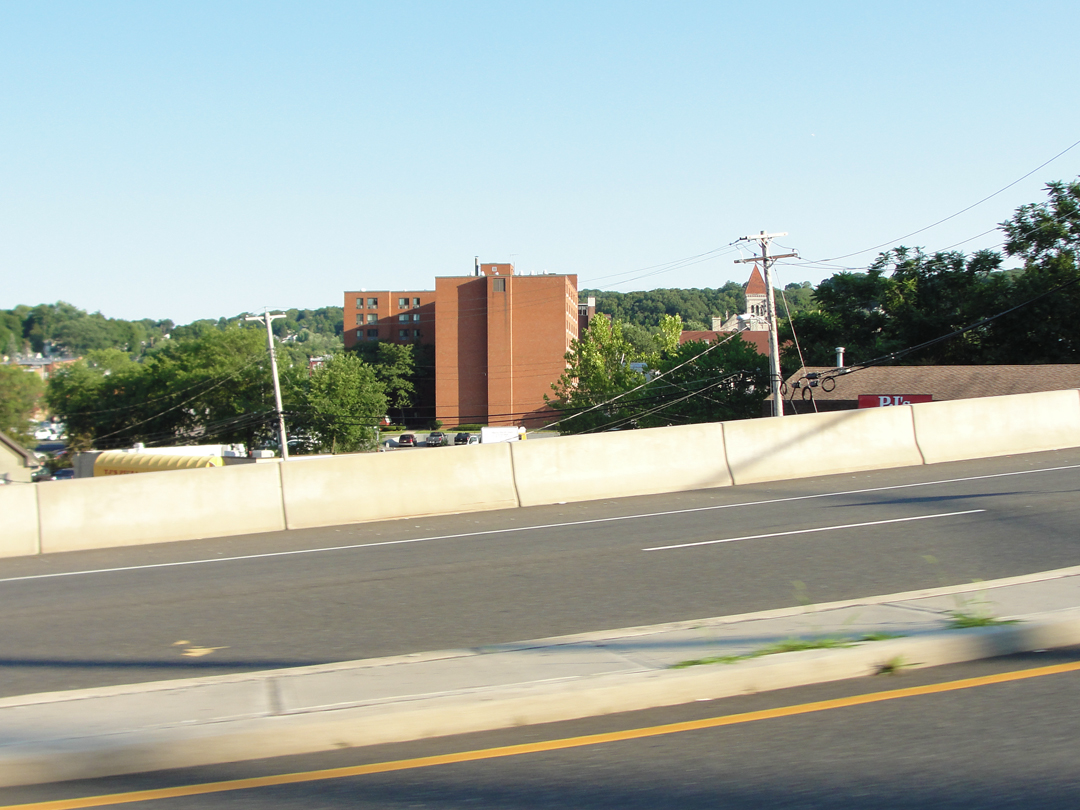
Hello, Dover! Goodbye, Dover!
Dreiser & Co made a stop here. I didn't.
I have been in Dover before, though. Had lunch in a Mexican restaurant where the only person in the family that ran the joint who spoke English was the 14 year old high school girl. It was kinda' funny seeing everyone else standing in the kitchen door looking on and wondering what the hell to do about it.
There is, or was anyway, a pretty good flea/antique market, too. Couldn't tell you if it's still there or not.
"In Paterson we had purchased four hard-boiled eggs,two pies, four slices of ham and some slices of bread, and four bottles of beer, and it being somewhere near noon we decided to have lunch. The task of finding an ideal spot was difficult, for we were in a holiday mood and content with nothing less than perfection...One spot proved of considerable interest, however, for, although we did not stay, in spying about we found an old moss-covered, red granite block...on which was carved a statement to the effect that this canal had been completed in 1829."
They had come across the remains of the Morris Canal, somewhere west of Paterson, a 19th Century transit operation that moved coal from Pennsylvania to the markets along the Hudson. Dreiser writes that he used to, in his younger days, walk along the canal in the summer.
It was to visit a still existing segment of the canal that I was now speeding.
"But west of Paterson and Boonton the surge of traffic was beginning to diminish, and we were beginning to taste the real country. Not so many autotrucks and wagons were encountered here, though automobiles proper were even more numerous, if anything...The roads, too, as far as Dover, our next large town, thirty miles on, were beautiful -- smooth, grey and white macadam, lined mostly with kempt lawns, handsome hedges...intermediate acres of tall ripe corn. I never saw better fields of grain...
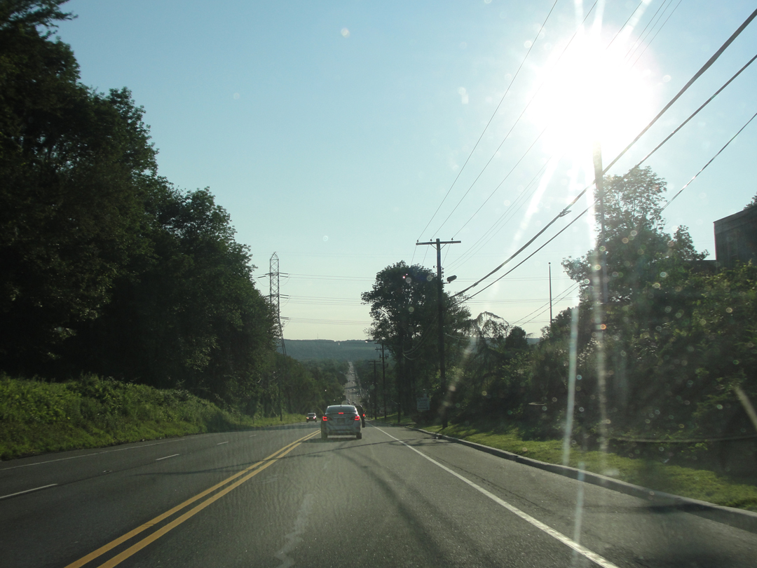
US 46: looking West from outside Dover.
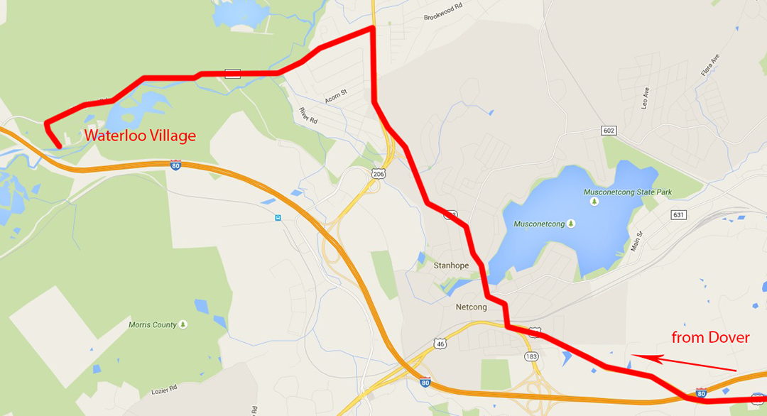
Although I had lived in Jersey for over five years, I had not heard anything of the Morris Canal. In Indiana, however, there in this seemingly random book was not only literary mention of it, bit a drawing as well! So I had to find something of it, if I could, and that still held water, preferably. What I came up with was Waterloo Village, which had been a trading point on the canal during the 19th Century, and still has some of its buildings standing -- and a piece of the canal still flooded.
As Dreiser relates, Booth did his drawing of "a bridge over the canal" after they had passed Hopatcong, which would put their stop and mine closer than I had been imagining. For some time I had believed that the drawing was done in conjunction with their lunch of eggs and beer, nearer to Paterson, but further re-reading proved me happily mistaken.
Below: the Morris Canal as it exists now at Waterloo Village, part of Allamuchy State Park, and listed on the National Register of Historic Places.
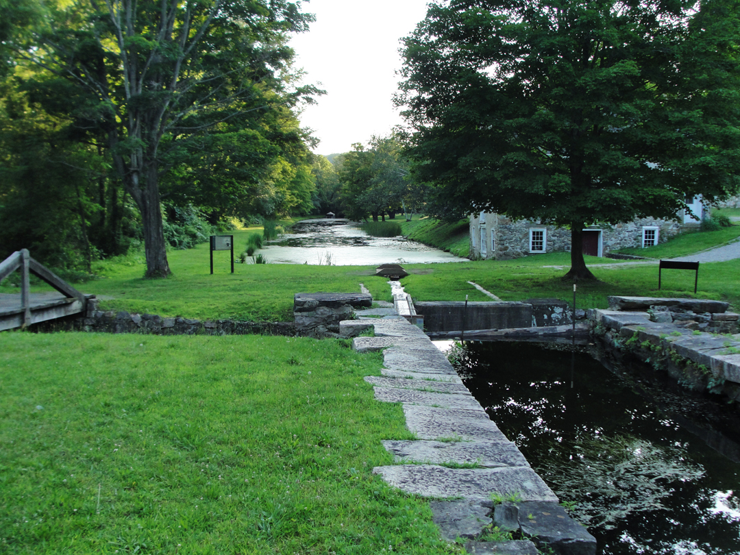
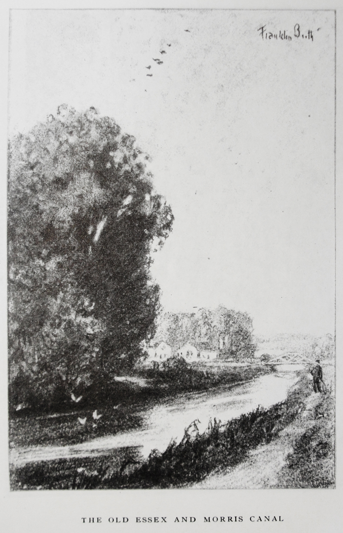
Booth's drawing of the canal (and bridge) is erroneously labeled as Essex and Morris Canal; Essex and Morris is the name of the train line that ran from the Hudson River into Morristown, NJ -- an early commutation train, no less, starting up in the mid-1800s. New Jersey Transit runs along that right-of-way now, and still refers to it as the Morris and Essex Line.
"The canal itself is now entirely obsolete. Although the State of New Jersey annually spends some little money to keep it clean, it is rarely if ever used by boats ...A powerful railroad corporation crept in, paralleled it, and destroyed it...you may walk along a canal costing originally fifty million dollars, and still ornamented at regular intervals with locks and planes, and never encounter anything larger than a canoe...It is beautiful -- but it is useless."
And so the town of Waterloo: beautiful in its way, but useless, in its way. With no canal traffic and the business that brought, the trading post was left behind. It is now one of those places in a state of slightly held-at-bay deterioration. People who think of history needing to be more than dry words in a heavy book have over the last half-century attempted to keep the village from falling down completely, and disappearing in dust. Wikipedia has a nice article concerning the history and the ups and downs of the fortunes of this site.
For myself, I would gladly return to spend a little more time here. There are, I guess, music events that take place occasionally, but on the evening I visited, there were only a few dog walkers, and a flock of geese. It even crossed my mind that, given the right circumstances, I'd take up residence in one of the old houses and restore it.

I'll also tip my hat to the people who have put in the time and energy to keep a place like this from disappearing. I can easily imagine some developer making a bid for a site that has already been smoothed down for construction and remaking it all into yet another collection of boxes of apartments or condominiums. "We could even keep the name 'Waterloo Village' !" Marketing genius. It's only a couple of miles from I-80, and I'm as sure that with the right amount of money flowing, an interchange could be built to allow traffic ease of access to the highway.
I'm as sure that such can all go to Hell.
I know that not every historic site can be as well put-together as Williamsburg in Virginia, but these places do mean something, and deserve any help they can get. Of course, I'm also biased toward wanting places like this as my interest has been turned that way for most of my life. History should be more than nostalgia trips in "classic cars," or eating at diners with reprinted photos of Marilyn Monroe and James Dean. History can be something that you can put your hands on.
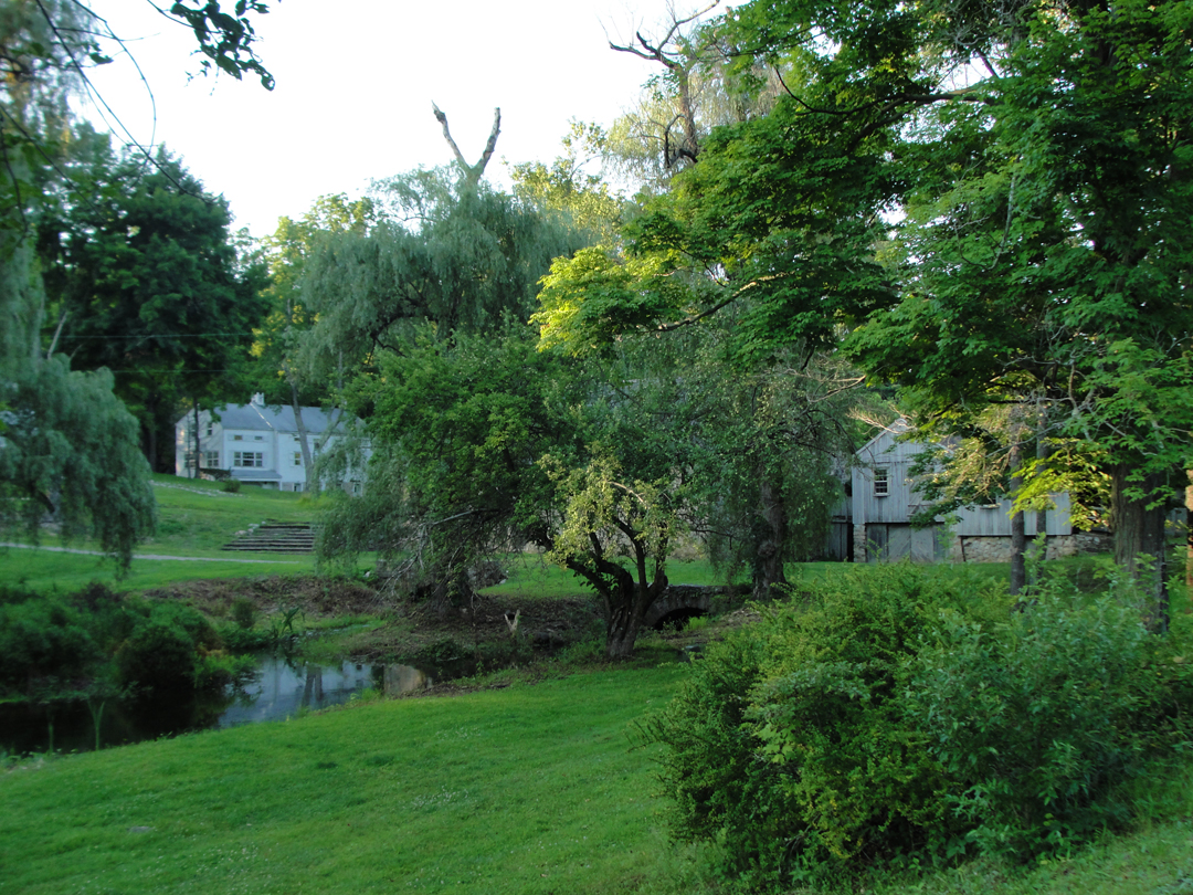
After a little time here, I took a seat by my car to consult my map, and arrange for dinner with friends that live out this way.
As the sun dropped over the hills near the Delaware River, I had one last "whoops!" in Hackettstown, then was off down NJ 57.
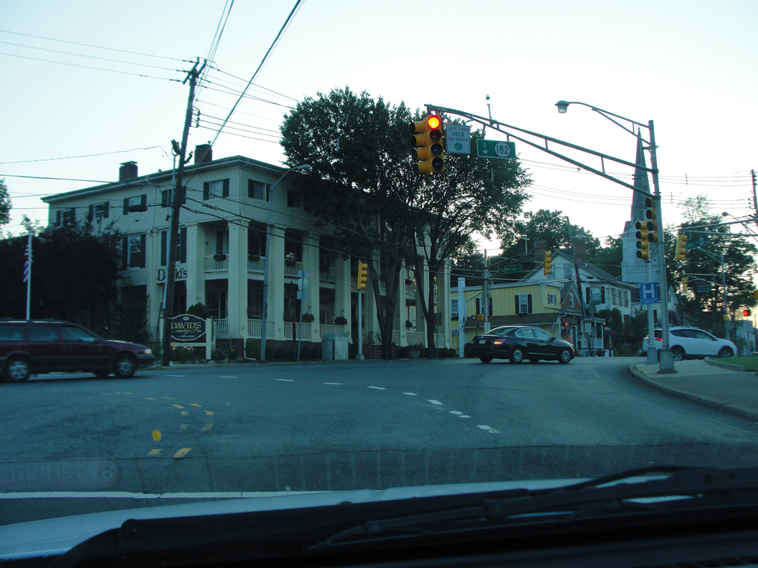
The currently-named David's Country Inn, in Hackettstown. Might be old enough to have been around "then."
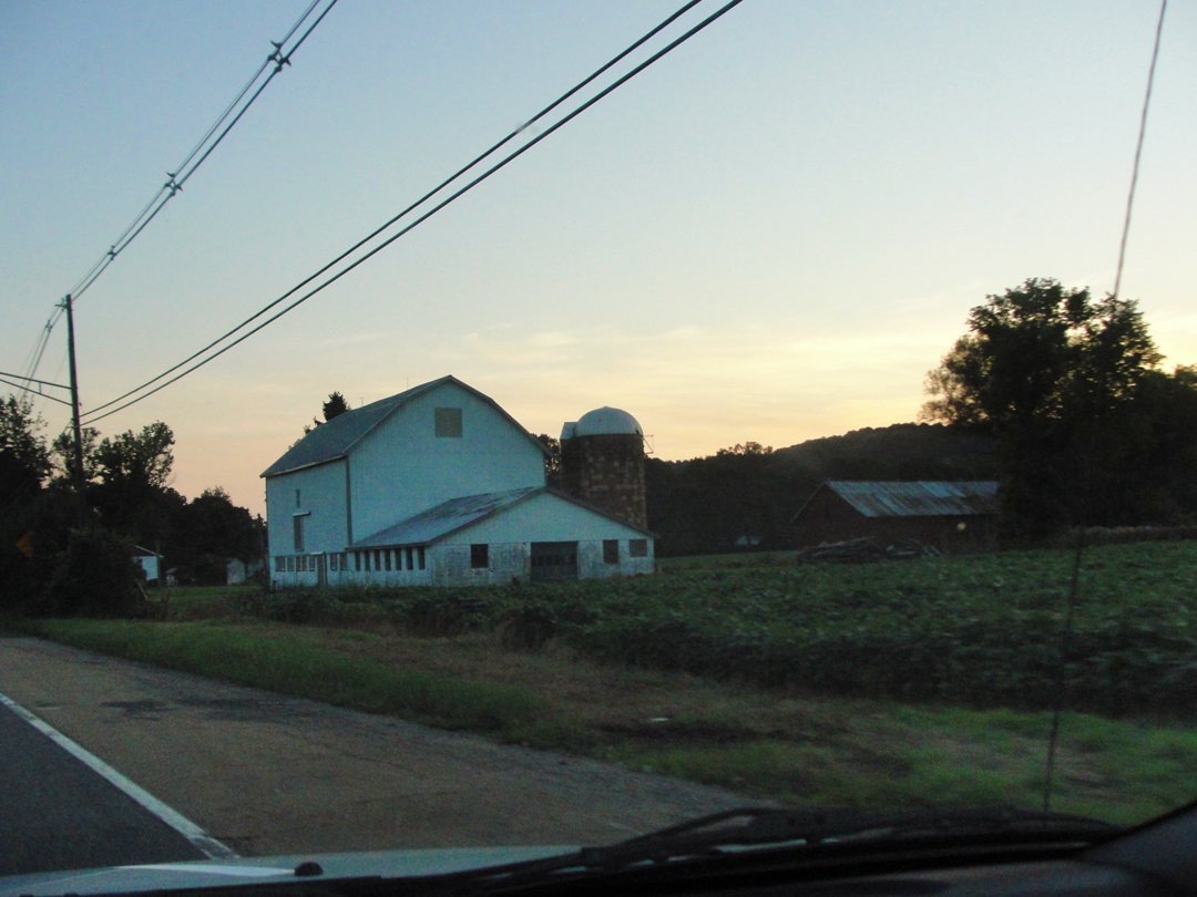
Below, some of the old rural buildings along 57, and the sunset over the fields.
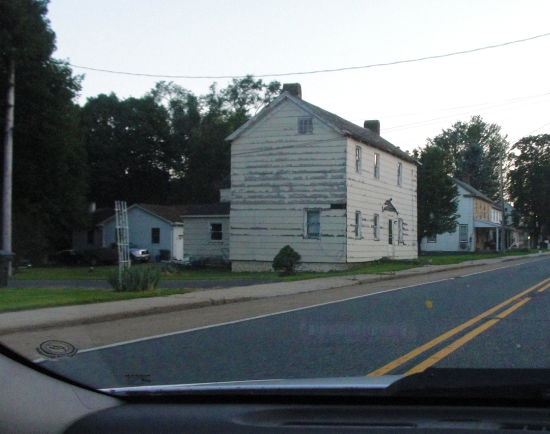

After Heather, Jerry and I "closed the place," Indian food, by the way, I made may way on down to Phillipsburg for the night. Which finally came after yet another amble about the roads in the dark trying to figure out where the hell I was. Eventually, I spied a motor hotel -- "Yay! Civilization!" -- and stopped for a hot shower and night's sleep.
Tomorrow: Looking for Manunka Chunk and the Great Bridge at Nicholsen.
